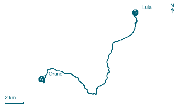
Orune → Lula
Walking distance 21.1 km
Download Appy for the stage map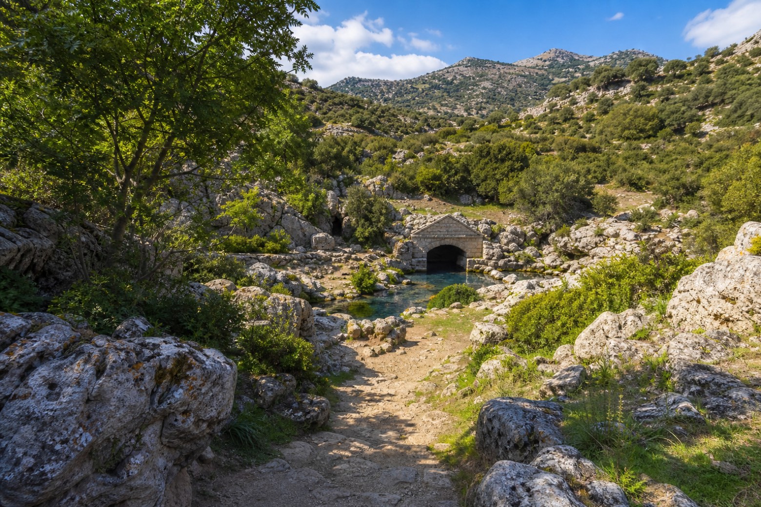
Stage information
- Ascent
- 499 m
- Descent
- 719 m
Difficulty: moderate
Walking the stage
A dirt track drops through the Orune hills past the sacred spring of Su Tempiesu, a Bronze and Iron Age nuragic shrine with a stone gabled facade over the water, then follows the old Nuoro devotional way to the sanctuary of San Francesco in Lula.
What to see on this stage
History and landmarks
Fonte sacra Su Tempiesu
Archaeological site · 300 m from the trail as the crow flies
Map · Orune → Lula
Take your walk with you: download Appy
La Via dei Santuari: Orune → Lula. Explore maps, stages and elevation in the app, and plan your train or bus journey.

