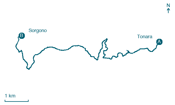
Tonara → Sorgono
Walking distance 11.8 km
Download Appy for the stage map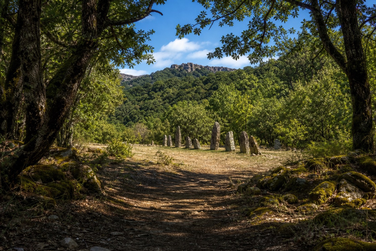
Stage information
- Ascent
- 182 m
- Descent
- 395 m
Difficulty: easy
Walking the stage
The stage stays almost entirely in forest for about 15 km out of Tonara, passing the Vedetta di Serra Longa, a viewpoint over the wooded hills of the Barbagia. It ends at Sorgono, beside the standing menhirs of Biru 'e Concas, in a clearing among the trees.
What to see on this stage
Nature and landscape
Castagno di Bau De Carru - Curadore, Tonara
Monumental tree · < 100 m from the trail as the crow flies
Italy’s monumental tree register identifies this specimen as Castanea sativa Mill. It records a height of 10 m and a trunk circumference of 860 cm.
Map · Tonara → Sorgono
Take your walk with you: download Appy
Cammino di Santu Jacu: Tonara → Sorgono. Explore maps, stages and elevation in the app, and plan your train or bus journey.

