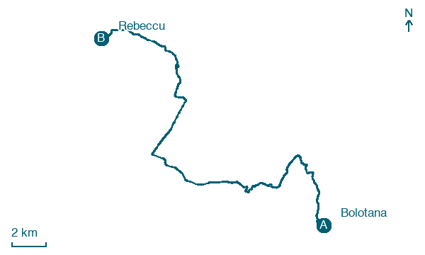
Bolotana → Rebeccu
Walking distance 29.7 km
Download Appy for the stage map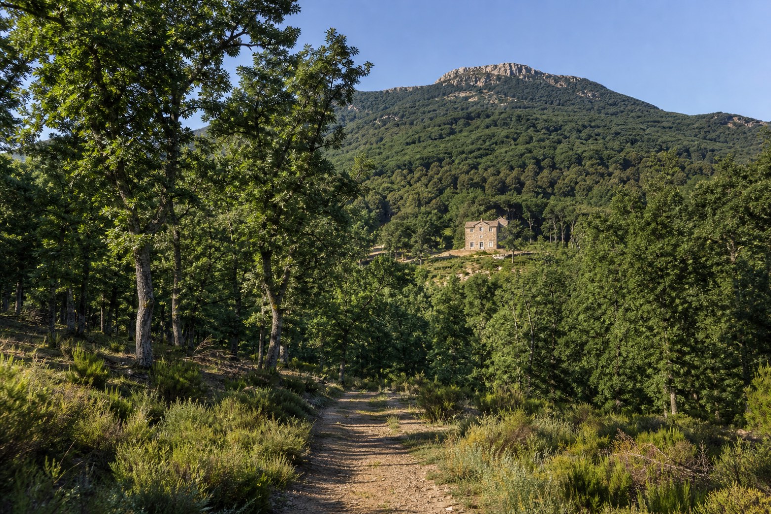
Stage information
- Ascent
- 734 m
- Descent
- 795 m
Difficulty: challenging
Walking the stage
Forest tracks through the woods of Badde Salighes pass the old hunting lodge of Villa Piercy and climb toward Monte Rasu to about 1,200 m, the highest point of the whole cammino, where the nuragic spring of Su Lumarzu still flows. It is a long day, about 30 km, before the descent to Rebeccu.
On arrival in Rebeccu, consider a stop at Roverella di Cantaru Addes, Bonorva, close to the finish.
Look for these places on the stage map: Badde Salighes and Santa Maria 'e Sauccu.
What to see on this stage
Nature and landscape
Faggio di Villa Piercy - Badde Salighes, Bolotana
Monumental tree · < 100 m from the trail as the crow flies
Italy’s monumental tree register identifies this specimen as Fagus sylvatica L. It records a height of 20 m and a trunk circumference of 270 cm.
Roverella di Cantaru Addes, Bonorva
Monumental tree · < 100 m from the trail as the crow flies
Italy’s monumental tree register identifies this specimen as Quercus pubescens Willd. It records a height of 28 m and a trunk circumference of 350 cm.
Map · Bolotana → Rebeccu
Take your walk with you: download Appy
Cammino di Santu Jacu: Bolotana → Rebeccu. Explore maps, stages and elevation in the app, and plan your train or bus journey.

