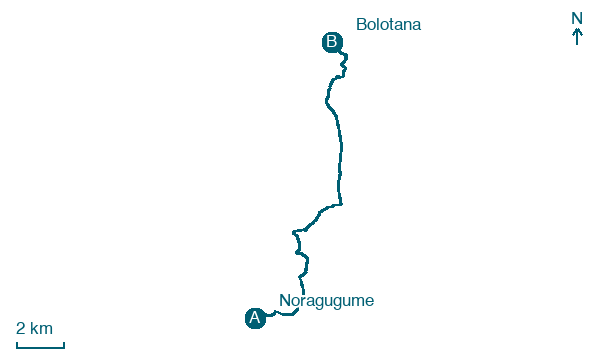
Noragugume → Bolotana
Walking distance 17.1 km
Download Appy for the stage map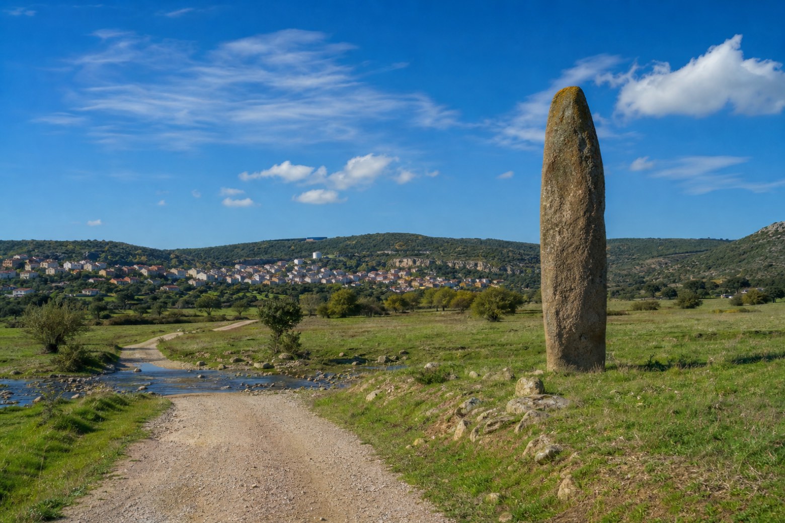
Stage information
- Ascent
- 325 m
- Descent
- 145 m
Difficulty: moderate
Walking the stage
The route passes the menhir Sa Pedra 'e Taleri, standing over 3 m tall in an open field outside Noragugume, then drops down to the plain and fords the Rio Flumineddu. Bolotana stays in view on its slope for most of the roughly 17 km stage.
Before leaving Noragugume, locate Chiesa di San Giacomo Apostolo on the map. It is close to the starting point.
Look for these places on the stage map: Bardosu and Ziu Zolo.
What to see on this stage
History and landmarks
Chiesa di San Giacomo Apostolo
Church · < 100 m from the trail as the crow flies
Map · Noragugume → Bolotana
Take your walk with you: download Appy
Cammino di Santu Jacu: Noragugume → Bolotana. Explore maps, stages and elevation in the app, and plan your train or bus journey.

