Rebeccu → San Pietro di Sorres
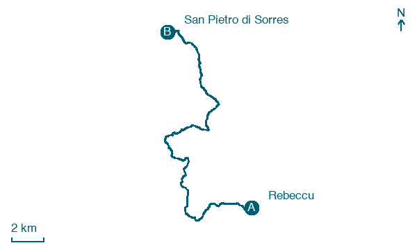
Walking distance 24.1 km
Download Appy for the stage map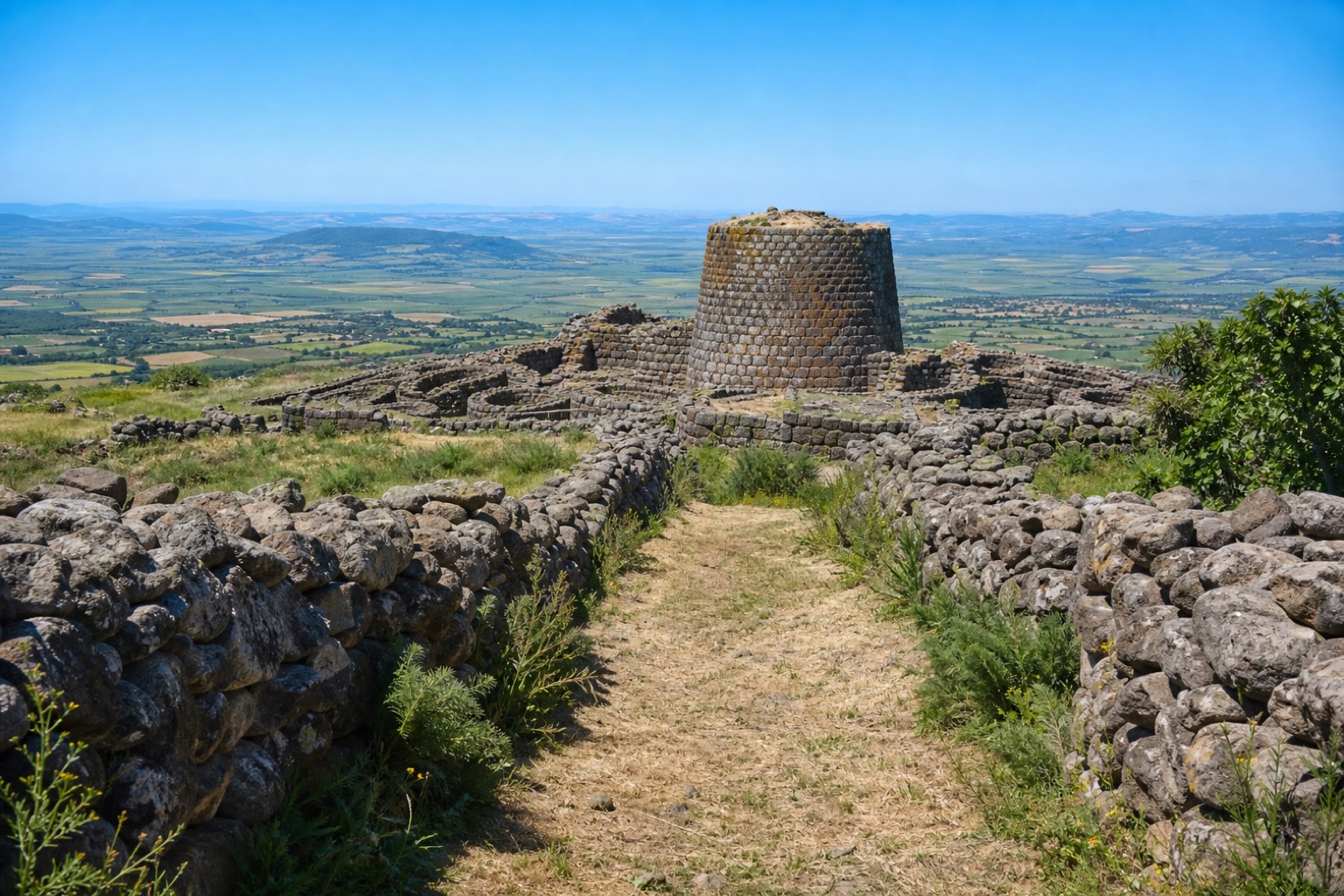
Stage information
- Ascent
- 533 m
- Descent
- 411 m
Difficulty: moderate
Walking the stage
Provincial roads and pasture tracks pass through Bonorva and the viewpoint of Planu Roccaforte over the Campu Giavesu plain, then Giave and the Nuraghe Santu Antine, one of Sardinia's best-preserved nuraghi. The roughly 24 km stage ends at the Romanesque church of San Pietro di Sorres on its volcanic hill.
Before leaving Rebeccu, locate Roverella di Cantaru Addes, Bonorva on the map. It is close to the starting point.
Look for these places on the stage map: Bonolva/Bonorva, Giave, and Turalva/Torralba.
What to see on this stage
History and landmarks
Santu Antine
Archaeological site · 400 m from the trail as the crow flies
Nature and landscape
Roverella di Cantaru Addes, Bonorva
Monumental tree · 200 m from the trail as the crow flies
Italy’s monumental tree register identifies this specimen as Quercus pubescens Willd. It records a height of 28 m and a trunk circumference of 350 cm.
Map · Rebeccu → San Pietro di Sorres
Take your walk with you: download Appy
Cammino di Santu Jacu: Rebeccu → San Pietro di Sorres. Explore maps, stages and elevation in the app, and plan your train or bus journey.

