Ittireddu → Ozieri
Walking distance 13.7 km
Download Appy for the stage map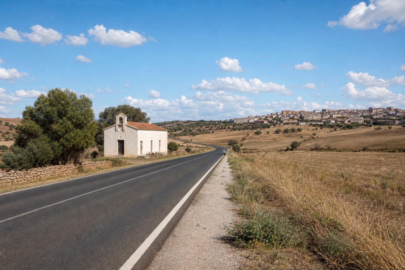
Stage information
- Ascent
- 327 m
- Descent
- 216 m
Difficulty: easy
Walking the stage
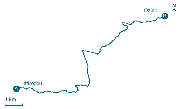
A short stage of about 14 km from Ittireddu to Ozieri. The line follows the official central axis and then a short spur into Ozieri, which stage 21 walks back out along. The association currently sends walkers along the asphalt shoulder of the SS128 instead, so expect traffic whichever way you go.
What to see on this stage
Nature and landscape
Pero selvatico di Cane Malu, Ozieri
Monumental tree · 100 m from the trail as the crow flies
Italy’s monumental tree register identifies this specimen as Pyrus pyraster (L.) Burgsd. It records a height of 9 m and a trunk circumference of 165 cm.
Olivastro di Occhetta - Mandras, Ozieri
Monumental tree · 200 m from the trail as the crow flies
Italy’s monumental tree register identifies this specimen as Olea europaea subsp. oleaster (Hoffmanns. & Link). It records a height of 15 m and a trunk circumference of 928 cm.
Map · Ittireddu → Ozieri
Take your walk with you: download Appy
Cammino di Santu Jacu: Ittireddu → Ozieri. Explore maps, stages and elevation in the app, and plan your train or bus journey.

