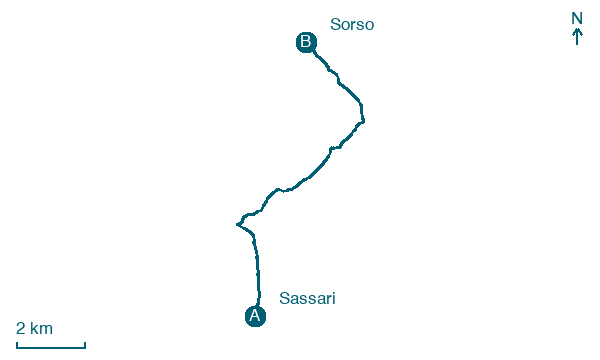
Sassari → Sorso
Walking distance 11.6 km
Download Appy for the stage map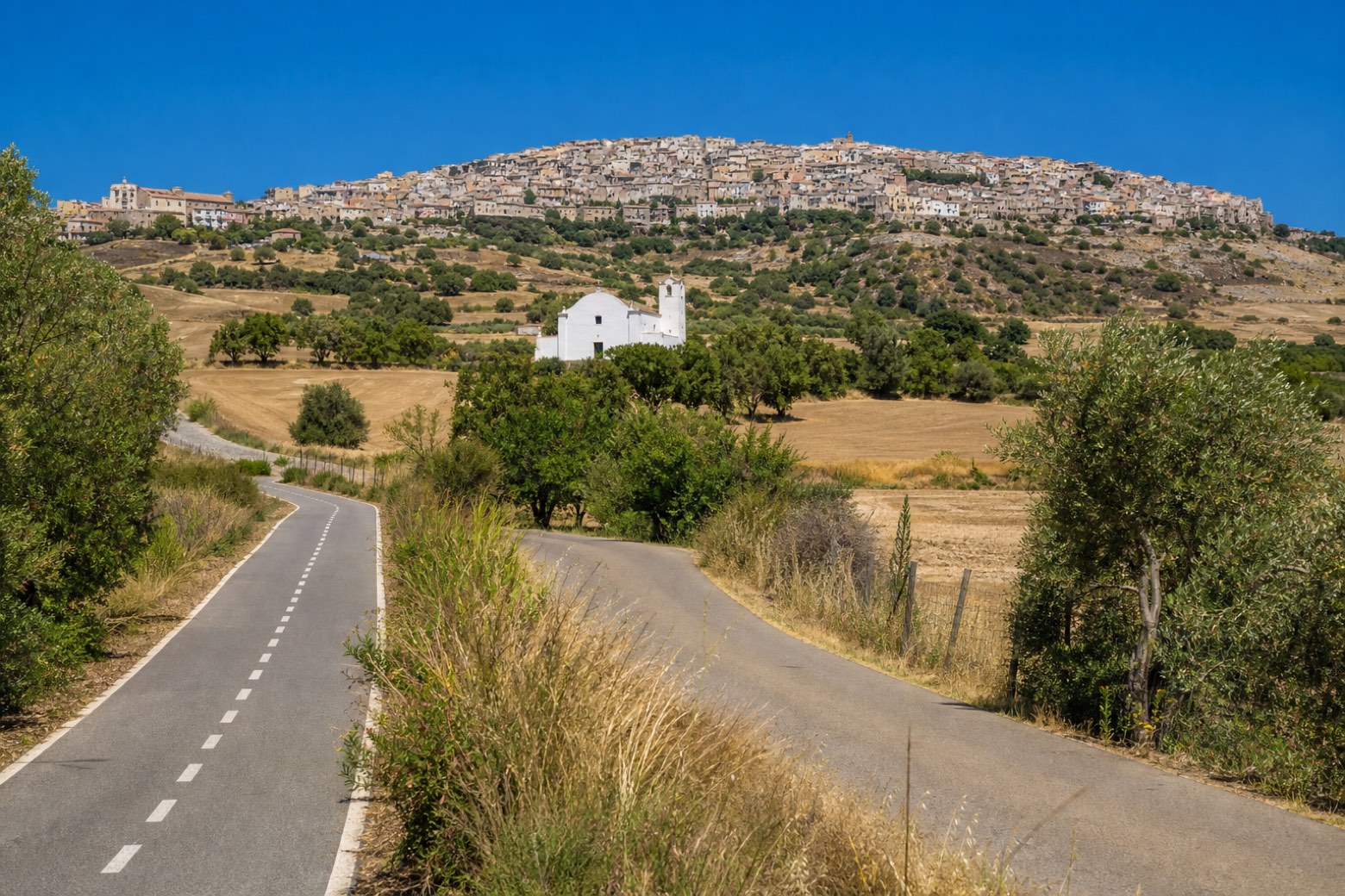
Stage information
- Ascent
- 205 m
- Descent
- 257 m
Difficulty: easy
Walking the stage
The walk leaves Sassari's Cattedrale di San Nicola on cycle paths and quiet lanes toward the coast, reaching Sennori, a farming village on a limestone hill above the plain. The stage covers about 12 km in total to Sorso, ending at its Chiesa di San Pantaleo.
Look for these places on the stage map: Zuari and Sènnaru/Sennori.
What to see on this stage
Nature and landscape
Leccio di San Pietro in Silki, Sassari
Monumental tree · 1.1 km from the trail as the crow flies
Italy’s monumental tree register identifies this specimen as Quercus ilex L. It records a height of 14 m and a trunk circumference of 415 cm.
Roverella di San'Orsola Sud Via Marginesu, Sassari
Monumental tree · 1.5 km from the trail as the crow flies
Italy’s monumental tree register identifies this specimen as Quercus pubescens Willd. It records a height of 25.3 m and a trunk circumference of 390 cm.
Map · Sassari → Sorso
Take your walk with you: download Appy
Cammino di Santu Jacu: Sassari → Sorso. Explore maps, stages and elevation in the app, and plan your train or bus journey.

