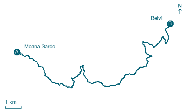
Meana Sardo → Belvì
Walking distance 19.4 km
Download Appy for the stage map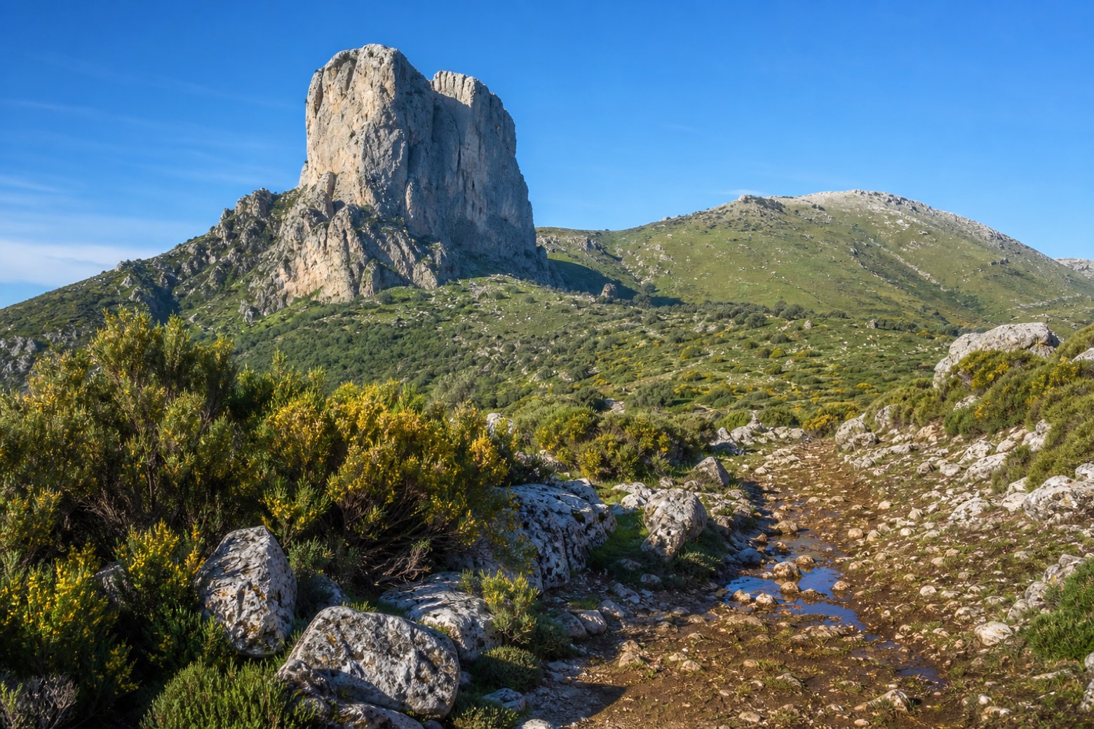
Stage information
- Ascent
- 503 m
- Descent
- 450 m
Difficulty: moderate
Walking the stage
A dirt climb passes small springs on the way up to the ridge of Bruncu Sant'Elia, at 1,083 m, and by the Tacco di Texile, a Jurassic limestone tower rising sheer over the pastures. The stage covers about 19 km into Belvì.
Before leaving Meana Sardo, locate Pino domestico di Via Montebello, Meana Sardo on the map. It is close to the starting point.
What to see on this stage
Nature and landscape
Pino domestico di Via Montebello, Meana Sardo
Monumental tree · 100 m from the trail as the crow flies
Italy’s monumental tree register identifies this specimen as Pinus pinea L. It records a height of 16 m and a trunk circumference of 380 cm.
Roverella di Cungiaus, Meana Sardo
Monumental tree · 200 m from the trail as the crow flies
Italy’s monumental tree register identifies this specimen as Quercus pubescens Willd. It records a height of 16.8 m and a trunk circumference of 410 cm.
Map · Meana Sardo → Belvì
Take your walk with you: download Appy
Cammino di Santu Jacu: Meana Sardo → Belvì. Explore maps, stages and elevation in the app, and plan your train or bus journey.

