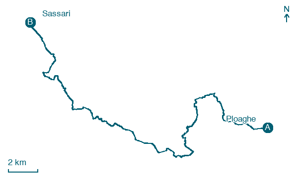
Ploaghe → Sassari
Walking distance 32.3 km
Download Appy for the stage map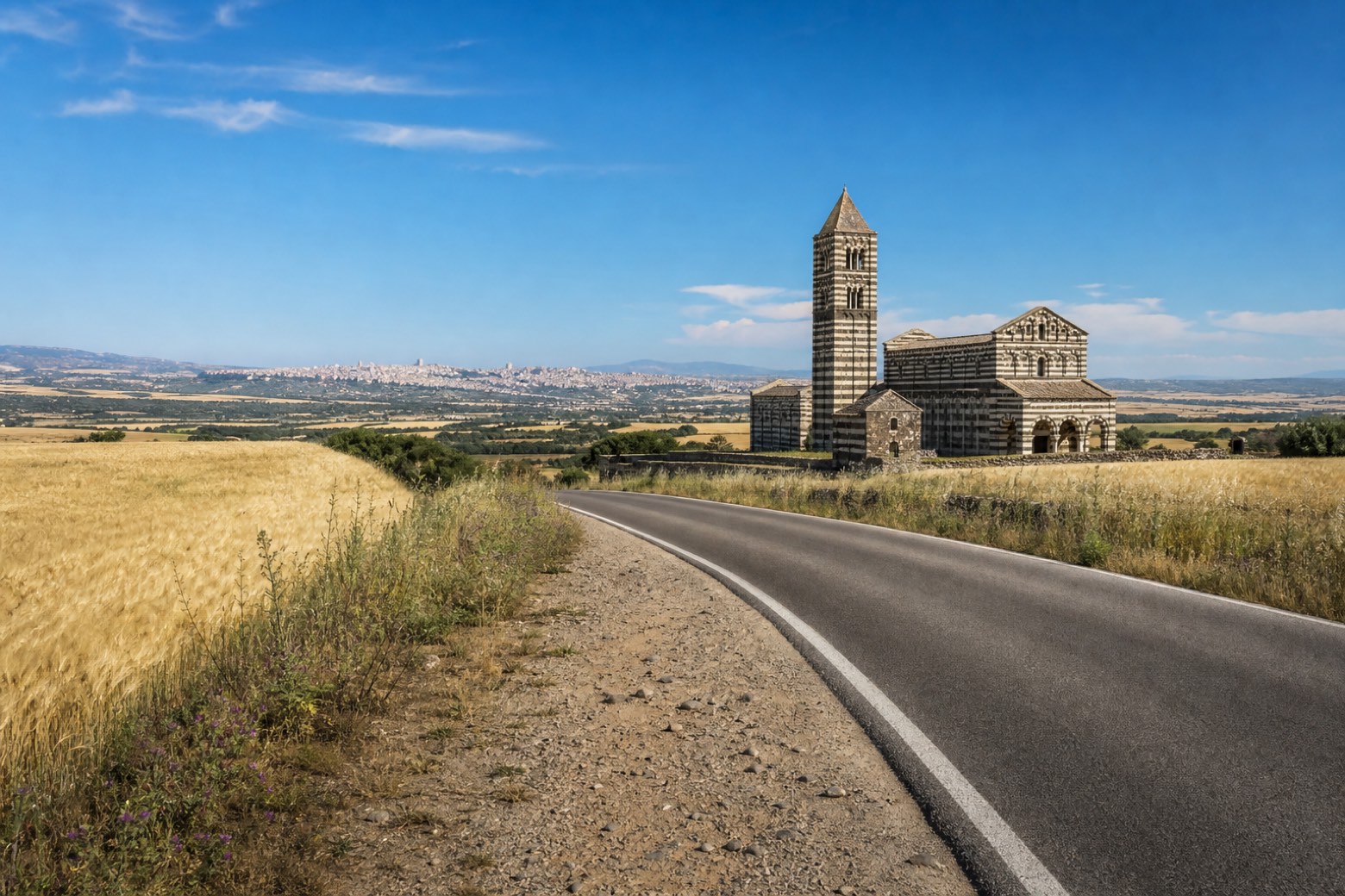
Stage information
- Ascent
- 497 m
- Descent
- 697 m
Difficulty: challenging
Walking the stage
Another long stage, about 32 km, passes the Basilica di Saccargia, built in 1116 by Camaldolese monks and known for its 13th-century frescoes, near Codrongianos. It continues through Florinas and climbs the old Sos Bajolos road before reaching Sassari.
Before leaving Ploaghe, locate Sant'Antonio da Padova on the map. It is close to the starting point.
Look for these places on the stage map: Codronzanu/Codrongianos, Fiolinas/Florinas, Ossi, and Tissi.
What to see on this stage
History and landmarks
Sant'Antonio da Padova
Church · 100 m from the trail as the crow flies
Church, dedicated to Anthony of Padua, in Ploaghe, Italy.
San Timoteo
Church · 300 m from the trail as the crow flies
Church, dedicated to Timothy, in Ploaghe, Italy.
Nature and landscape
Leccio di San Pietro in Silki, Sassari
Monumental tree · 1.1 km from the trail as the crow flies
Italy’s monumental tree register identifies this specimen as Quercus ilex L. It records a height of 14 m and a trunk circumference of 415 cm.
Leccio di Monte Bianchinu, Sassari
Monumental tree · 2 km from the trail as the crow flies
Italy’s monumental tree register identifies this specimen as Quercus ilex L. It records a height of 18 m and a trunk circumference of 440 cm.
Map · Ploaghe → Sassari
Take your walk with you: download Appy
Cammino di Santu Jacu: Ploaghe → Sassari. Explore maps, stages and elevation in the app, and plan your train or bus journey.

