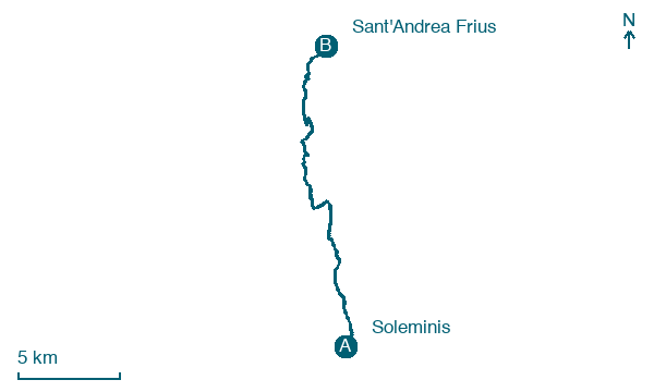
Soleminis → Sant'Andrea Frius
Walking distance 19.2 km
Download Appy for the stage map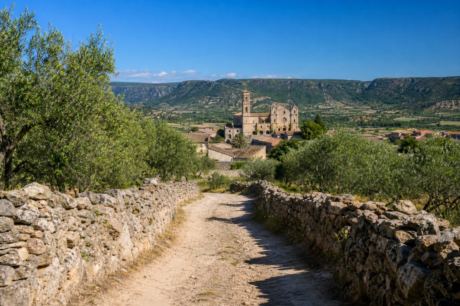
Stage information
- Ascent
- 253 m
- Descent
- 172 m
Difficulty: moderate
Walking the stage
Quiet unpaved roads run through the Rio Coxinas valley to Dolianova, where the Cattedrale di San Pantaleo blends Pisan Romanesque stonework with a Gothic facade. The stage continues on secondary roads for about 20 km to Sant'Andrea Frius.
Look for these places on the stage map: Patiolla/Dolianova.
What to see on this stage
Nature and landscape
Pino d'Aleppo di Piazza San Pantaleo, Dolianova
Monumental tree · 300 m from the trail as the crow flies
Italy’s monumental tree register identifies this specimen as Pinus halepensis Mill. It records a height of 19.5 m and a trunk circumference of 340 cm.
Pino d'Aleppo di Cattedrale San Pantaleo - Via Vescovado, Dolianova
Monumental tree · 300 m from the trail as the crow flies
Italy’s monumental tree register identifies this specimen as Pinus halepensis Mill. It records a height of 16.7 m and a trunk circumference of 265 cm.
Map · Soleminis → Sant'Andrea Frius
Take your walk with you: download Appy
Cammino di Santu Jacu: Soleminis → Sant'Andrea Frius. Explore maps, stages and elevation in the app, and plan your train or bus journey.

