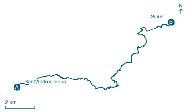
Sant'Andrea Frius → Silius
Walking distance 17.8 km
Download Appy for the stage map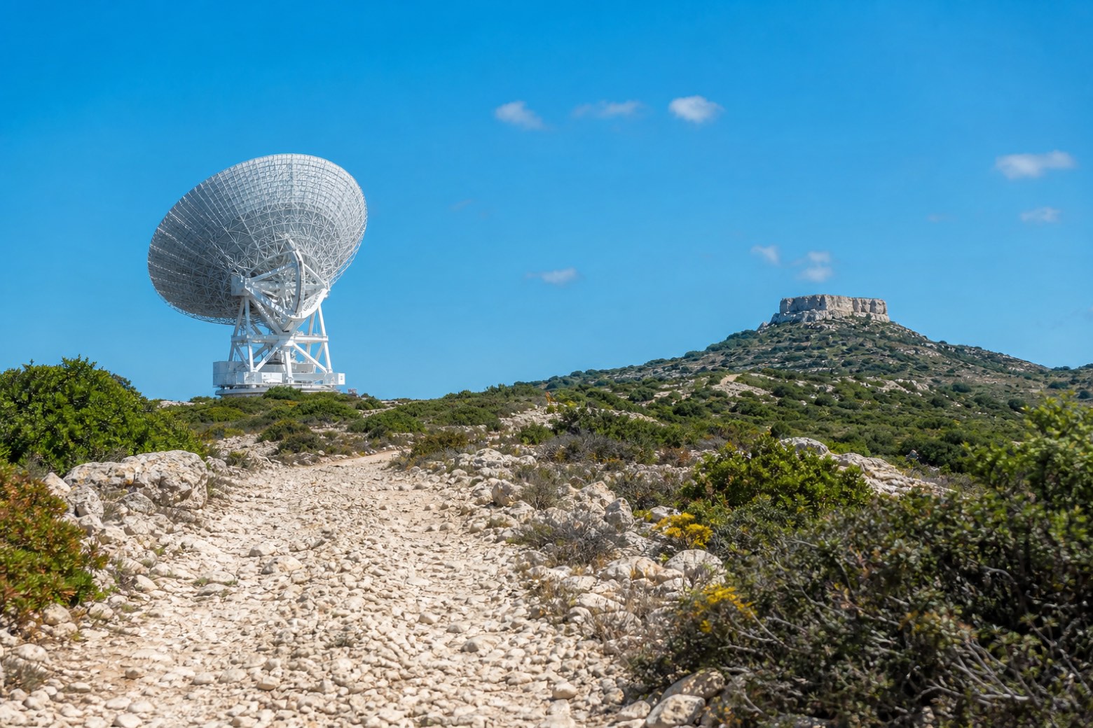
Stage information
- Ascent
- 525 m
- Descent
- 213 m
Difficulty: moderate
Walking the stage
Stony paths and white roads cross open countryside past Pranu Sànguni, where the large dish of the Sardinia Radio Telescope stands against the sky, with the ruined Castello di Sassai visible on its hill a few kilometres off the route. Fountains mark the way for about 18 km into Silius.
On arrival in Silius, consider a stop at San Sebastiano, close to the finish.
What to see on this stage
History and landmarks
Ponte
Bridge · < 100 m from the trail as the crow flies
The asset, a road bridge built at the end of the 19th century, represents an example of a road infrastructure of considerable logistical importance in the area.
San Sebastiano
Church · 300 m from the trail as the crow flies
20th-century church, dedicated to Saint Sebastian, in Silius, Italy.
Nature and landscape
Leccio di Flumini Basili, Sant'Andrea Frius
Monumental tree · < 100 m from the trail as the crow flies
Italy’s monumental tree register identifies this specimen as Quercus ilex L. It records a height of 13 m and a trunk circumference of 470 cm.
Map · Sant'Andrea Frius → Silius
Take your walk with you: download Appy
Cammino di Santu Jacu: Sant'Andrea Frius → Silius. Explore maps, stages and elevation in the app, and plan your train or bus journey.

