Sorso → Porto Torres
Walking distance 25.2 km
Download Appy for the stage map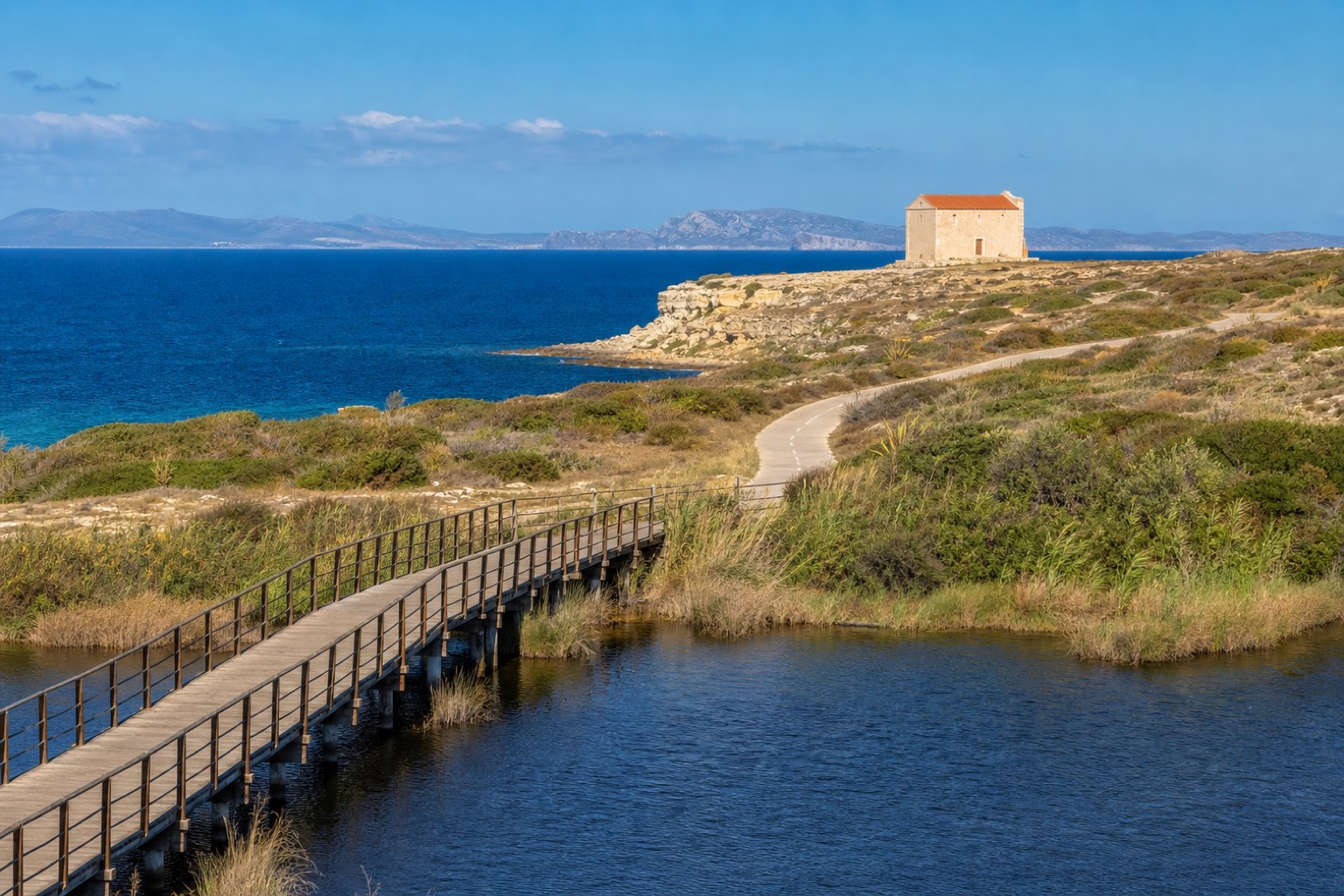
Stage information
- Ascent
- 75 m
- Descent
- 211 m
Difficulty: moderate
Walking the stage
Boardwalks cross the Stagno di Platamona, then a coastal cycle path runs past the site of Noli Me Tollere to the Chiesa di San Gavino a Mare, perched on a limestone cliff with no apse or bell tower. The roughly 25 km stage ends at the Torre Aragonese by the port in Porto Torres.
On arrival in Porto Torres, consider a stop at Torre del Porto, close to the finish.
Look for these places on the stage map: Lu Barrili-Monti, Eden Beach, Serralonga, and Regione Li Pidriazzi I.
What to see on this stage
History and landmarks
Torre del Porto
Tower · < 100 m from the trail as the crow flies
14th-century tower, in Porto Torres, Italy, designated as Italian national heritage.
Palazzo del Marchese
Palace · 300 m from the trail as the crow flies
Palace in Neoclassicism style, designed by Giuseppe Cominotti, in Porto Torres, Italy.
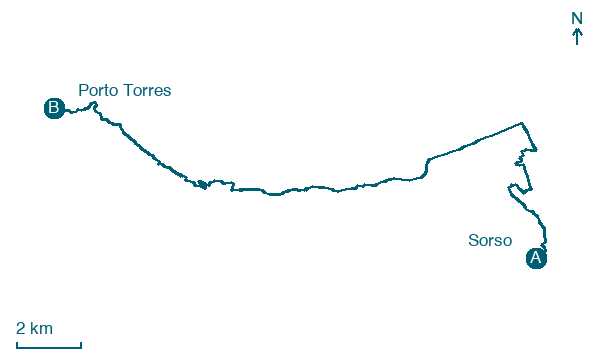
Map · Sorso → Porto Torres
Take your walk with you: download Appy
Cammino di Santu Jacu: Sorso → Porto Torres. Explore maps, stages and elevation in the app, and plan your train or bus journey.

