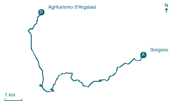
Sorgono → Agriturismo S'Argalasi
Walking distance 14.8 km
Download Appy for the stage map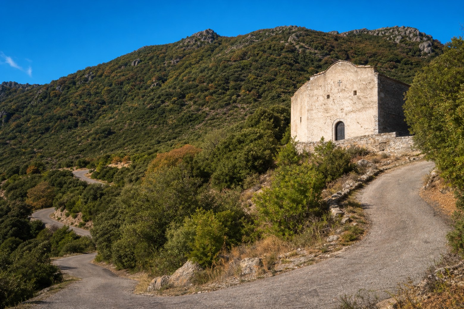
Stage information
- Ascent
- 141 m
- Descent
- 281 m
Difficulty: easy
Walking the stage
The route passes the medieval country sanctuary of San Mauro, its facade carved with old graffiti, where it is worth filling water bottles at a spring nearby. Switchbacks then climb toward Monte Lidone for about 15 km, ending at the agriturismo S'Argalasi in Austis, which has 10 beds.
Look for these places on the stage map: Atzara.
What to see on this stage
Nature and landscape
Roverella di Bau Andala, Sorgono
Monumental tree · 1.4 km from the trail as the crow flies
Italy’s monumental tree register identifies this specimen as Quercus pubescens Willd. It records a height of 23 m and a trunk circumference of 516 cm.
Bagolaro di Funtana Figassula, Atzara
Monumental tree · 1.6 km from the trail as the crow flies
Italy’s monumental tree register identifies this specimen as Celtis australis L. It records a height of 12.7 m and a trunk circumference of 438 cm.
Map · Sorgono → Agriturismo S'Argalasi
Take your walk with you: download Appy
Cammino di Santu Jacu: Sorgono → Agriturismo S'Argalasi. Explore maps, stages and elevation in the app, and plan your train or bus journey.

