Cagliari → Soleminis
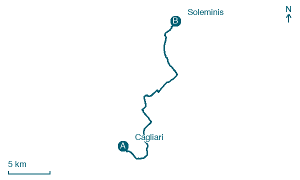
Walking distance 26.1 km
Download Appy for the stage map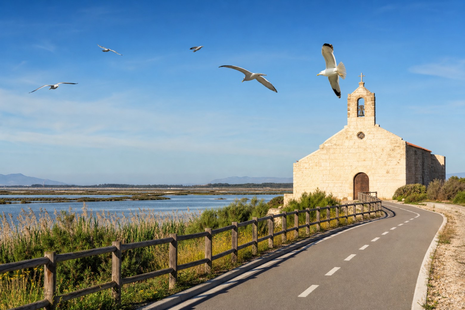
Stage information
- Ascent
- 214 m
- Descent
- 51 m
Difficulty: moderate
Walking the stage
The walk leaves Cagliari's Torre dell'Elefante on the Via Roma cycle path by the sea, then follows canals and the Molentargius marshes, rich in birdlife, toward Monserrato. Vineyards and olive groves lead into Settimo San Pietro and its 15th-century Chiesa di San Pietro, before the roughly 26 km stage ends in Soleminis.
Before leaving Cagliari, locate Palazzo "La Rinascente" on the map. It is close to the starting point.
Look for these places on the stage map: Pauli/Monserrato, Su Trémini de Bàxiu, Su Petzu Mannu, and Sètimu/Settimo San Pietro.
What to see on this stage
History and landmarks
Palazzo
Palace · < 100 m from the trail as the crow flies
building consisting of four contiguous rectangular buildings on two above-ground levels that configure an overall E-shaped plan, where the long side to the north overlooks the street while the opposite side faces the sea.
Palazzo "La Rinascente"
Palace · < 100 m from the trail as the crow flies
Building with an irregular head position, with a double body in rectangular and trapezoidal shapes, with non-load-bearing masonry perimeter walls and reinforced concrete pillars; reinforced concrete floors; flat roof.
Nature and landscape
Fico magnolioide di Piazza Giacomo Matteotti, Cagliari
Monumental tree · < 100 m from the trail as the crow flies
Italy’s monumental tree register identifies this specimen as Ficus macrophylla Desf. ex Pers. It records a height of 22.1 m and a trunk circumference of 1,200 cm.
Fico magnolioide di Via Roma - Piazza F.P. Ingrao, Cagliari
Monumental tree · < 100 m from the trail as the crow flies
Italy’s monumental tree register identifies this specimen as Ficus macrophylla Desf. ex Pers. It records a height of 20 m and a trunk circumference of 980 cm.
Map · Cagliari → Soleminis
Take your walk with you: download Appy
Cammino di Santu Jacu: Cagliari → Soleminis. Explore maps, stages and elevation in the app, and plan your train or bus journey.

