Ozieri → Ploaghe
Walking distance 32.1 km
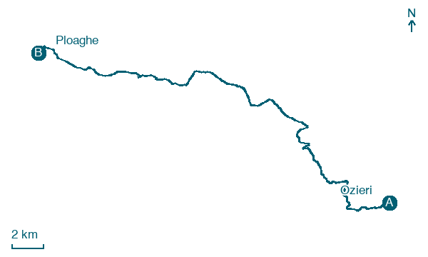
Download Appy for the stage map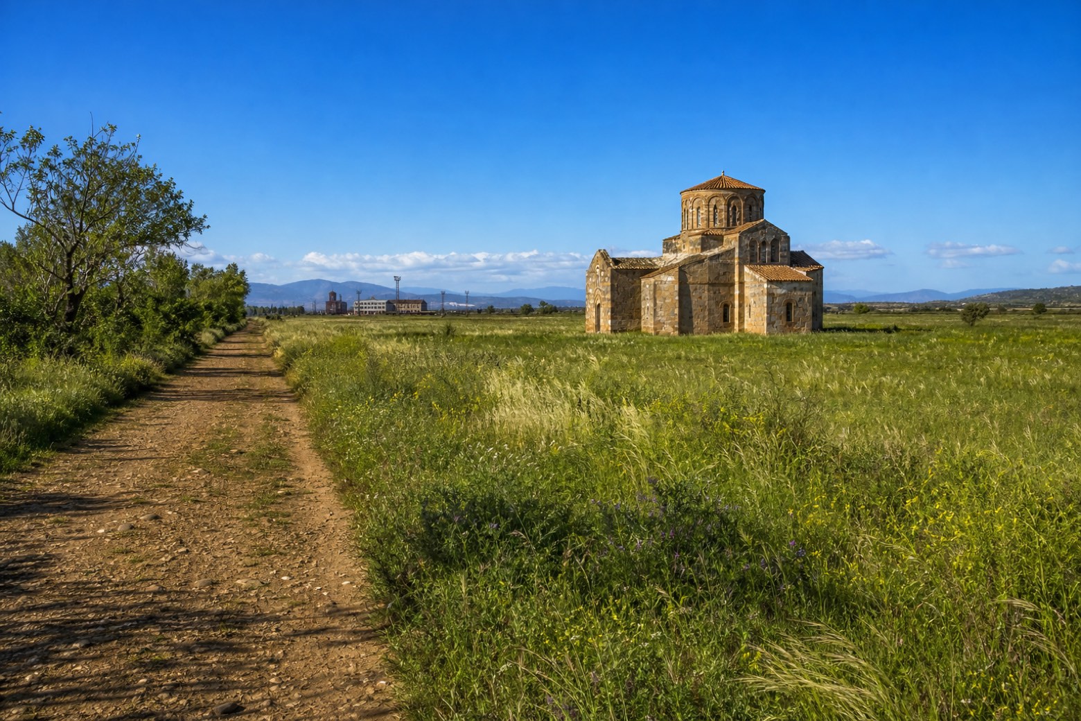
Stage information
- Ascent
- 267 m
- Descent
- 279 m
Difficulty: challenging
Walking the stage
A long day of about 32 km follows a horse trail along the bed of the old railway line to Chilivani, once a busy rail junction on the plain between Ozieri and Sassari. Chilivani itself has no accommodation, so the stage continues without a stop all the way to Ploaghe.
Before leaving Ozieri, locate Frassino maggiore di Giardini Pubblici su Cantaru, Ozieri on the map. It is close to the starting point. On arrival in Ploaghe, consider a stop at Santa Croce, close to the finish.
Look for these places on the stage map: Chilivani and Mesu 'e Rios.
What to see on this stage
History and landmarks
San Pietro
Church · < 100 m from the trail as the crow flies
Church, dedicated to Saint Peter, in Ploaghe, Italy, designated as Italian national heritage.
Santa Croce
Church · < 100 m from the trail as the crow flies
Church, dedicated to True Cross, in Ploaghe, Italy.
Nature and landscape
Frassino maggiore di Giardini Pubblici su Cantaru, Ozieri
Monumental tree · 500 m from the trail as the crow flies
Italy’s monumental tree register identifies this specimen as Fraxinus excelsior L. It records a height of 9 m and a trunk circumference of 360 cm.
Map · Ozieri → Ploaghe
Take your walk with you: download Appy
Cammino di Santu Jacu: Ozieri → Ploaghe. Explore maps, stages and elevation in the app, and plan your train or bus journey.

