Laconi → Meana Sardo
Walking distance 21.4 km
Download Appy for the stage map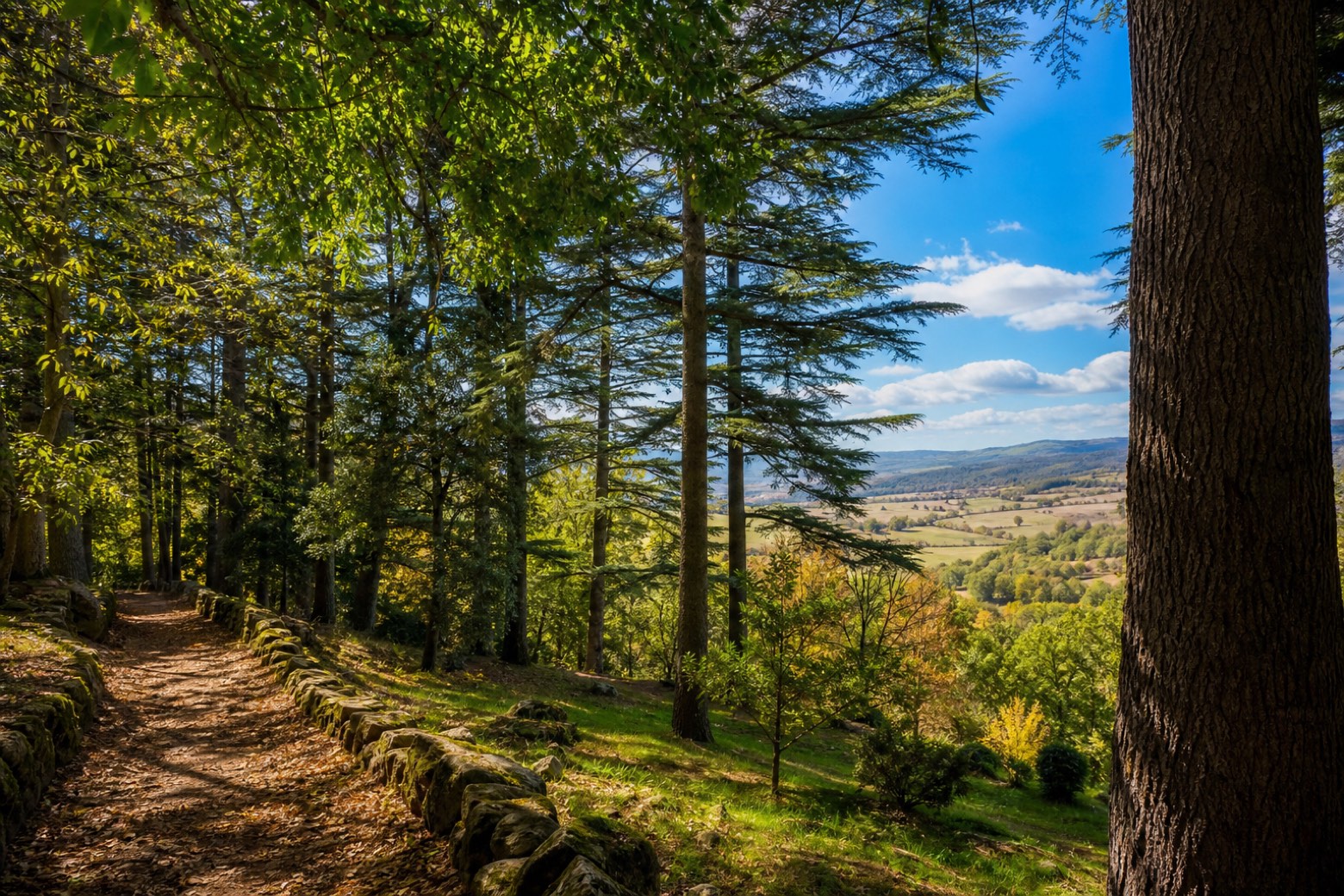
Stage information
- Ascent
- 469 m
- Descent
- 416 m
Difficulty: moderate
Walking the stage
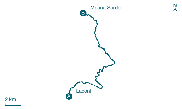
The path climbs out of Laconi through the Parco di Funtanamela, a valley with a fountain, on mostly rural dirt roads with a final stretch of asphalt. The roughly 21 km stage ends at the old railway station of Meana Sardo.
Before leaving Laconi, locate Sant'Ambrogio on the map. It is close to the starting point.
Look for these places on the stage map: Santa Sofia.
What to see on this stage
History and landmarks
Castello Aymerich
Castle · 100 m from the trail as the crow flies
Castle, in Laconi, Italy, designated as Italian national heritage.
Sant'Ambrogio
Church · < 100 m from the trail as the crow flies
Church, in Laconi, Italy, designated as Italian national heritage.
Nature and landscape
Faggio di Parco Aymerich, Laconi
Monumental tree · 100 m from the trail as the crow flies
Italy’s monumental tree register identifies this specimen as Fagus sylvatica L. It records a height of 13.7 m and a trunk circumference of 155 cm.
Platano orientale di Parco Aymerich, Laconi
Monumental tree · 100 m from the trail as the crow flies
Italy’s monumental tree register identifies this specimen as Platanus orientalis L. It records a height of 25 m and a trunk circumference of 450 cm.
Map · Laconi → Meana Sardo
Take your walk with you: download Appy
Cammino di Santu Jacu: Laconi → Meana Sardo. Explore maps, stages and elevation in the app, and plan your train or bus journey.

