Nurallao → Laconi
Walking distance 10.6 km
Download Appy for the stage map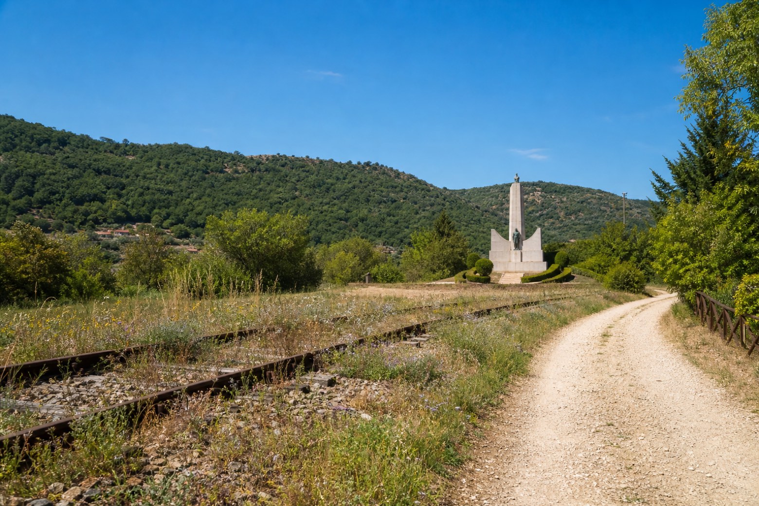
Stage information
- Ascent
- 244 m
- Descent
- 120 m
Difficulty: easy
Walking the stage
A short stage of about 11 km follows the old railway line out of Nurallao, passing the stone Monumento Aviatori, a memorial to the fallen firefighting pilots, on its way into Laconi. It ends at the wooded Parco Aymerich, a shaded historic park at the edge of the village.
On arrival in Laconi, consider a stop at Santi Ambrogio e Ignazio, close to the finish.
Look for these places on the stage map: Su Lau.
What to see on this stage
History and landmarks
Castello Aymerich
Castle · 200 m from the trail as the crow flies
Castle, in Laconi, Italy, designated as Italian national heritage.
Santi Ambrogio e Ignazio
Church · 200 m from the trail as the crow flies
Church, dedicated to Ignatius of Laconi, in Laconi, Italy.
Nature and landscape
Cedro del Libano di Parco Aymerich, Laconi
Monumental tree · 100 m from the trail as the crow flies
Italy’s monumental tree register identifies this specimen as Cedrus libani A.Richard. It records a height of 29 m and a trunk circumference of 440 cm.
Corbezzolo di Parco Aymerich, Laconi
Monumental tree · 100 m from the trail as the crow flies
Italy’s monumental tree register identifies this specimen as Arbutus unedo L. It records a height of 7.4 m and a trunk circumference of 104 cm.
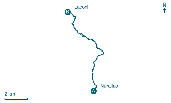
Map · Nurallao → Laconi
Take your walk with you: download Appy
Cammino di Santu Jacu: Nurallao → Laconi. Explore maps, stages and elevation in the app, and plan your train or bus journey.

