Mandas → Nurallao
Walking distance 21.8 km
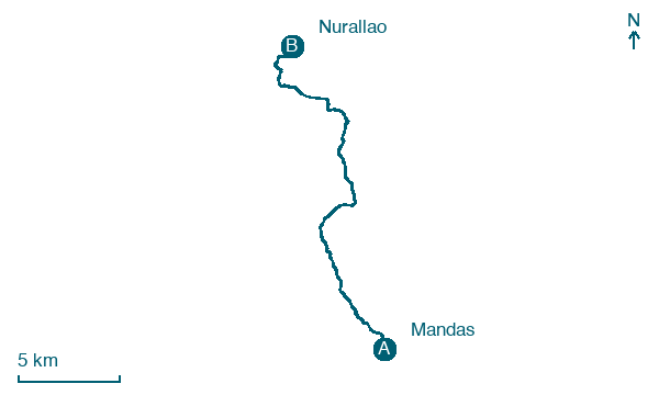
Download Appy for the stage map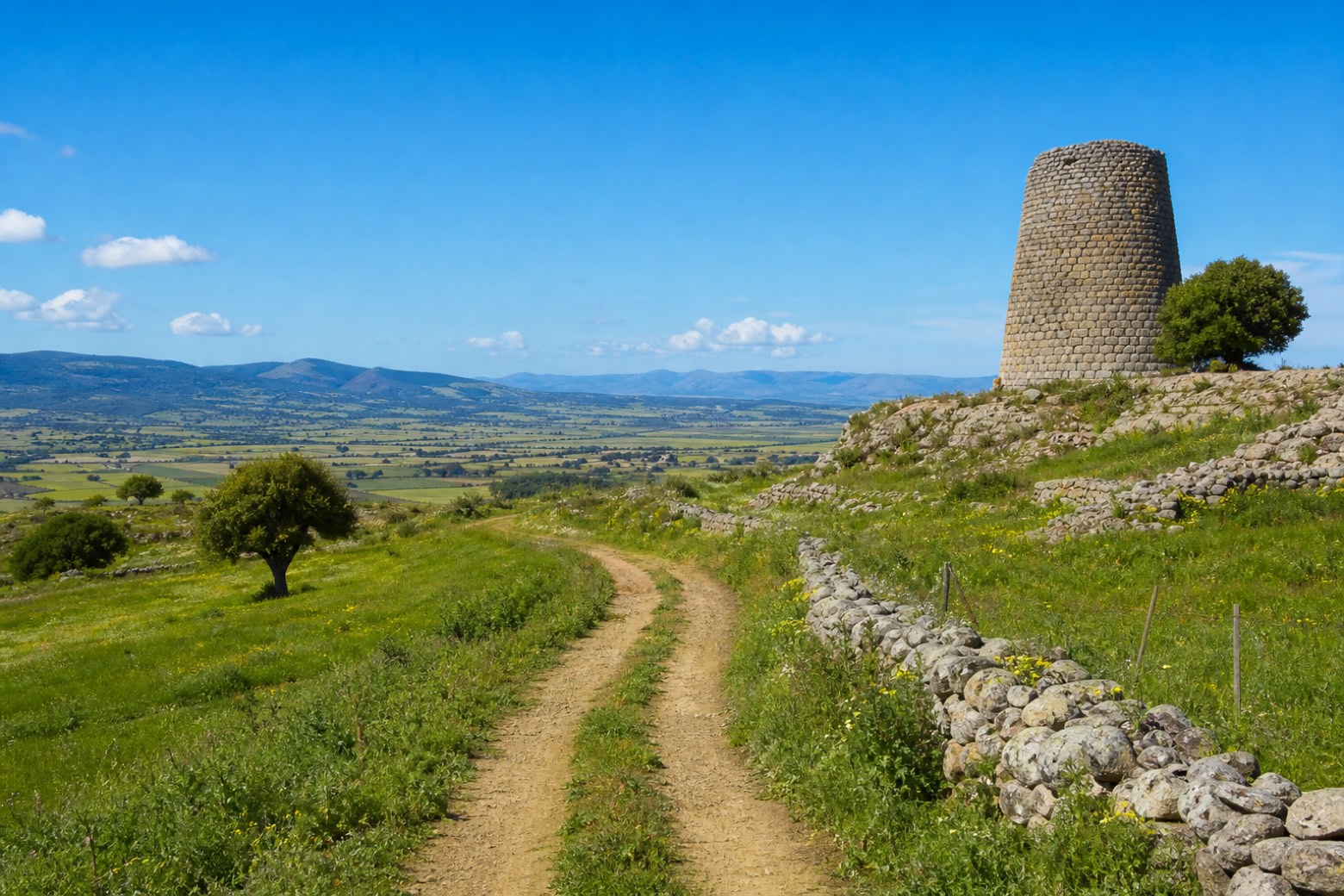
Stage information
- Ascent
- 311 m
- Descent
- 400 m
Difficulty: moderate
Walking the stage
Trails and country lanes run through Gergei and Isili, skirting the shores of Lago Is Barrocus, up to the Nuraghe Is Paras standing at the edge of the Sarcidano plateau, with the valley spreading out below. The stage covers about 23 km to Nurallao, on the edge of the Barbagia hills.
Before leaving Mandas, locate Pino d'Aleppo di Stazione Ferroviaria, Mandas on the map. It is close to the starting point.
Look for these places on the stage map: Gerxei/Gergei and Ìsili/Isili.
What to see on this stage
Nature and landscape
Pino d'Aleppo di Stazione Ferroviaria, Mandas
Monumental tree · < 100 m from the trail as the crow flies
Italy’s monumental tree register identifies this specimen as Pinus halepensis Mill. It records a height of 20 m and a trunk circumference of 330 cm.
Pioppo bianco di Zaccuria, Isili
Monumental tree · 700 m from the trail as the crow flies
Italy’s monumental tree register identifies this specimen as Populus alba L. It records a height of 28 m and a trunk circumference of 480 cm.
Map · Mandas → Nurallao
Take your walk with you: download Appy
Cammino di Santu Jacu: Mandas → Nurallao. Explore maps, stages and elevation in the app, and plan your train or bus journey.

