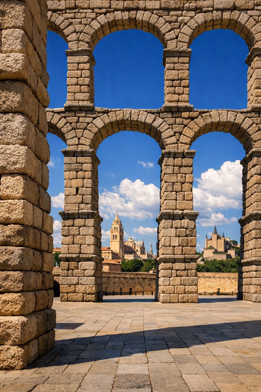
Camino de Madrid
Castilla y León, Spain
Spain · Madrid → Astorga
Distance
317 km
Stages
13
Difficulty
moderate
Best months
Apr-Jun, Sep-Oct
Camino de Madrid · Stages and distances
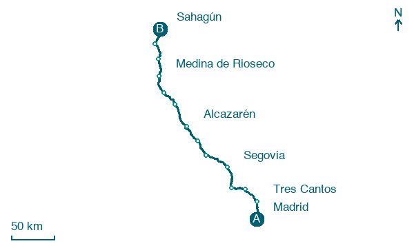
Walking distances for Appy’s stages (13)
| Stage | km |
|---|---|
| 1. Madrid → Tres Cantos | 24.8 |
| 2. Tres Cantos → Manzanares el Real | 24.1 |
| 3. Manzanares el Real → Cercedilla | 19.2 |
| 4. Cercedilla → Segovia | 28.7 |
| 5. Segovia → Santa María la Real de Nieva | 32.4 |
| 6. Santa María la Real de Nieva → Coca | 21.4 |
| 7. Coca → Alcazarén | 25.6 |
| 8. Alcazarén → Simancas | 30.9 |
| 9. Simancas → Peñaflor de Hornija | 21 |
| 10. Peñaflor de Hornija → Medina de Rioseco | 24.6 |
| 11. Medina de Rioseco → Cuenca de Campos | 22.6 |
| 12. Cuenca de Campos → Santervás de Campos | 21.1 |
| 13. Santervás de Campos → Sahagún | 20.6 |
| Total | 317 |
About
About 320 km from Madrid to Grajal de Campos, a journey through time. This spiritual walk weaves through the heart of Spain, passing Camorritos and La Granja, where the scent of fresh bread mingles with ancient stone.
With an elevation gain of 2,394 meters, it challenges you physically while inviting introspection. 13 stages offer a varied of landscapes and local traditions, each village a chapter in the story.
Hikers traverse this route year-round, finding solace in its history and the rhythm of their own footsteps.
Stages
13 stages
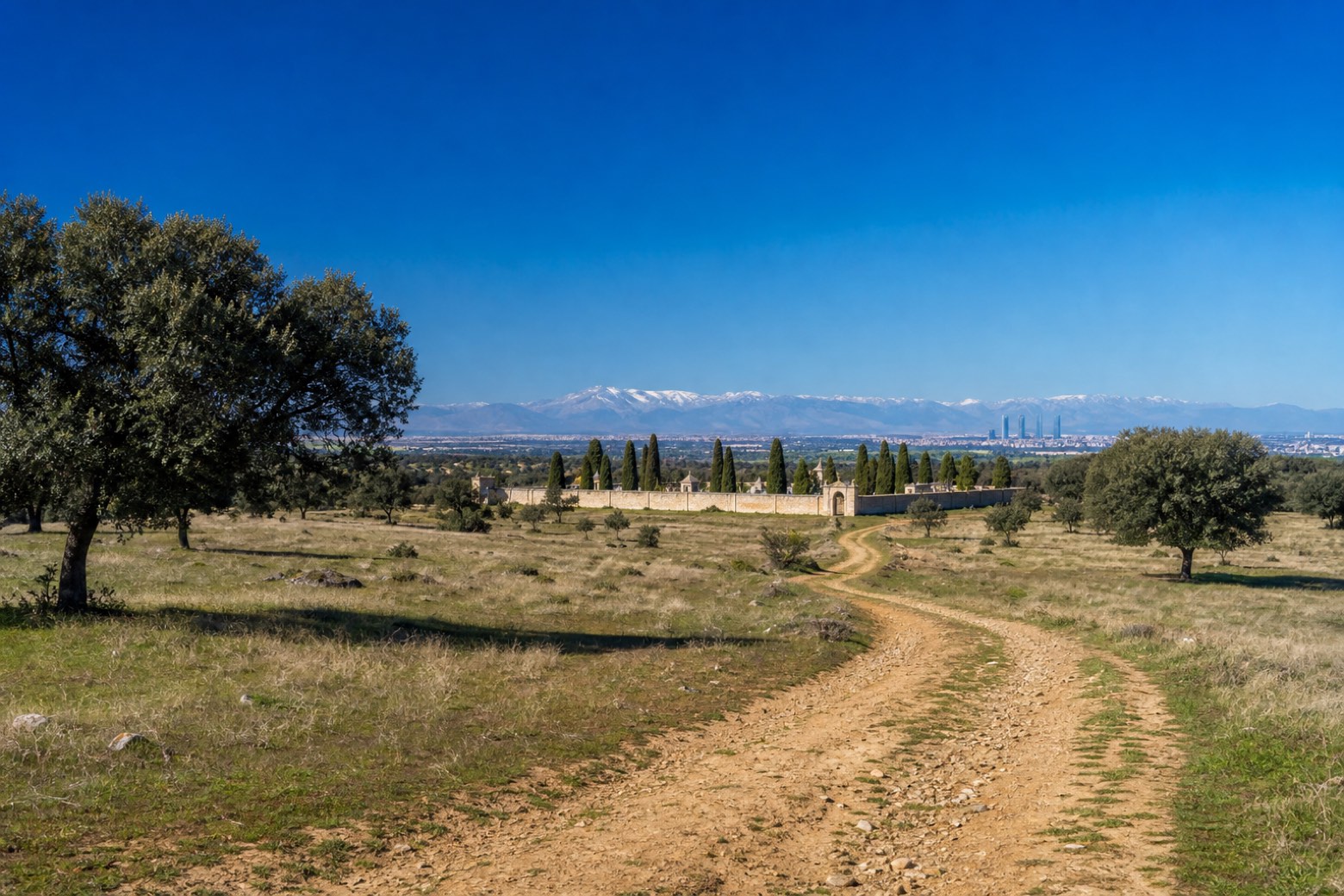 Stage 1
Madrid → Tres Cantos
moderate- Distance
- 25 km
- Ascent
- 182 m
- Descent
- 106 m
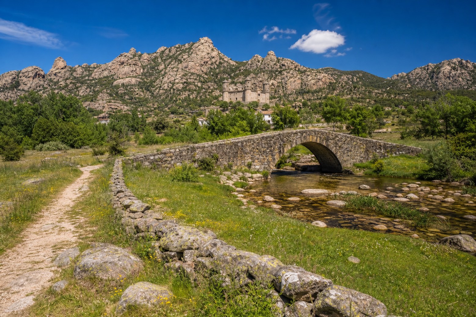 Stage 2
Tres Cantos → Manzanares el Real
moderate- Distance
- 24 km
- Ascent
- 416 m
- Descent
- 259 m
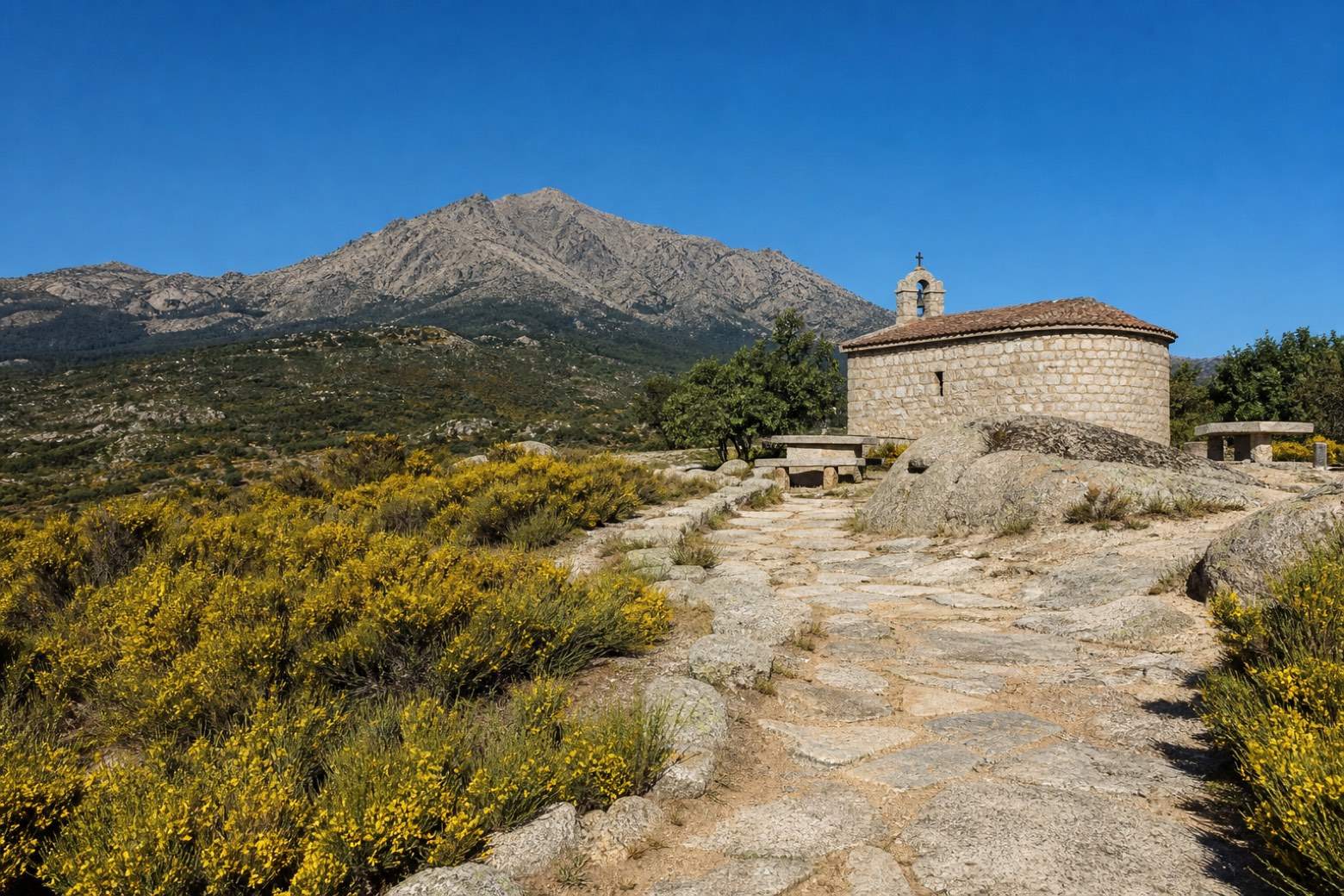 Stage 3
Manzanares el Real → Cercedilla
moderate- Distance
- 19 km
- Ascent
- 412 m
- Descent
- 140 m
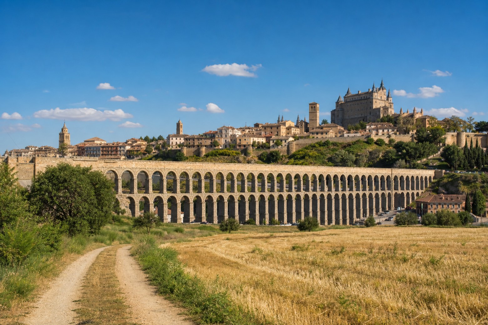 Stage 4
Cercedilla → Segovia
challenging- Distance
- 29 km
- Ascent
- 652 m
- Descent
- 860 m
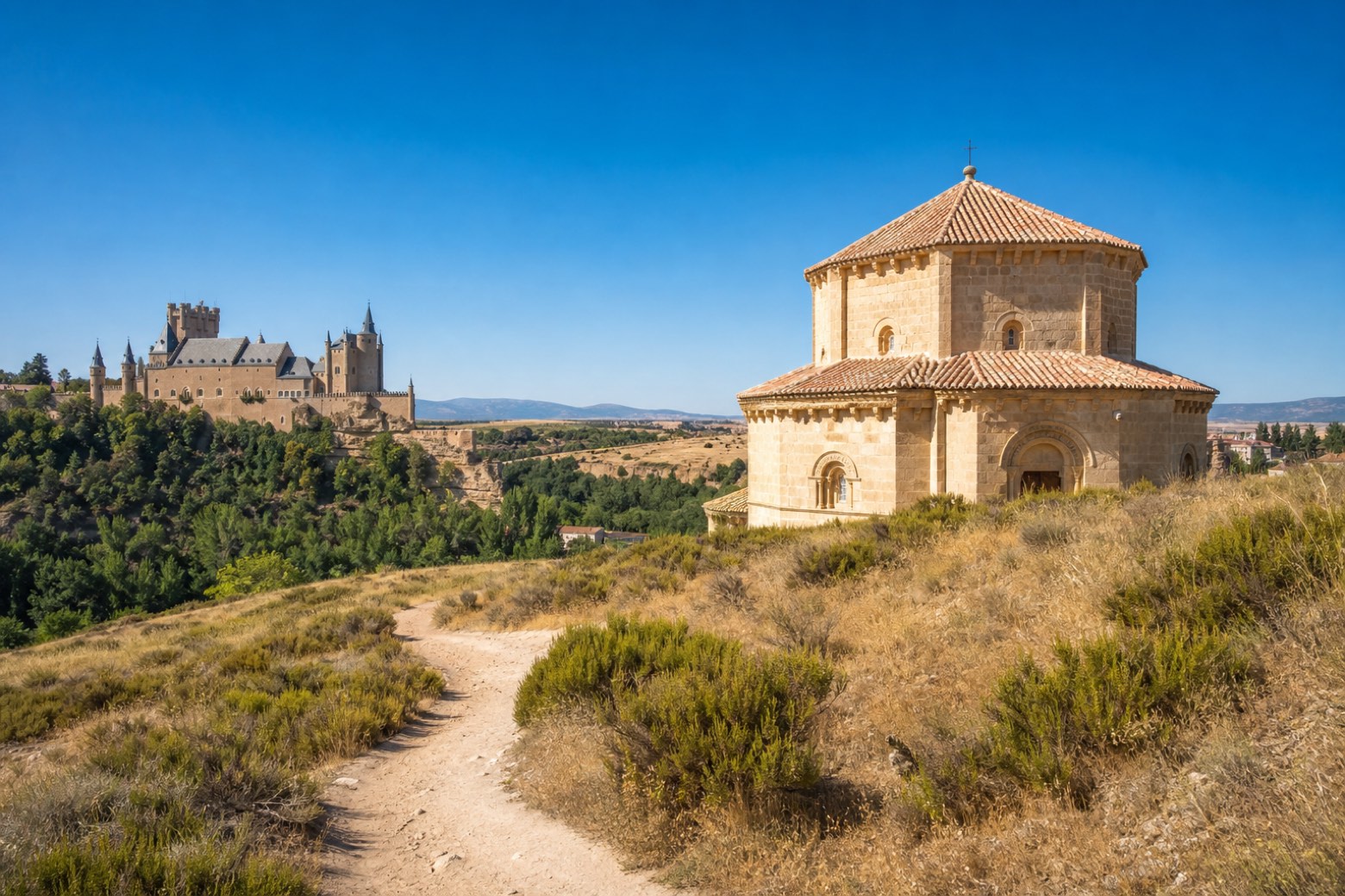 Stage 5
Segovia → Santa María la Real de Nieva
challenging- Distance
- 32 km
- Ascent
- 217 m
- Descent
- 304 m
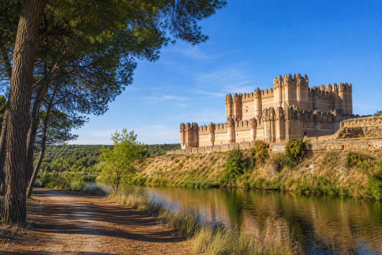 Stage 6
- Distance
- 21 km
- Ascent
- 0 m
- Descent
- 79 m
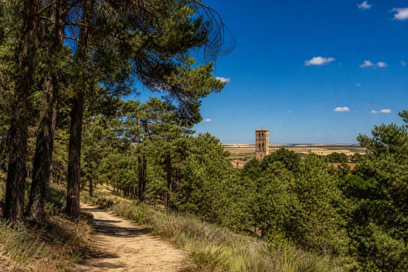 Stage 7
Coca → Alcazarén
moderate- Distance
- 26 km
- Ascent
- 16 m
- Descent
- 41 m
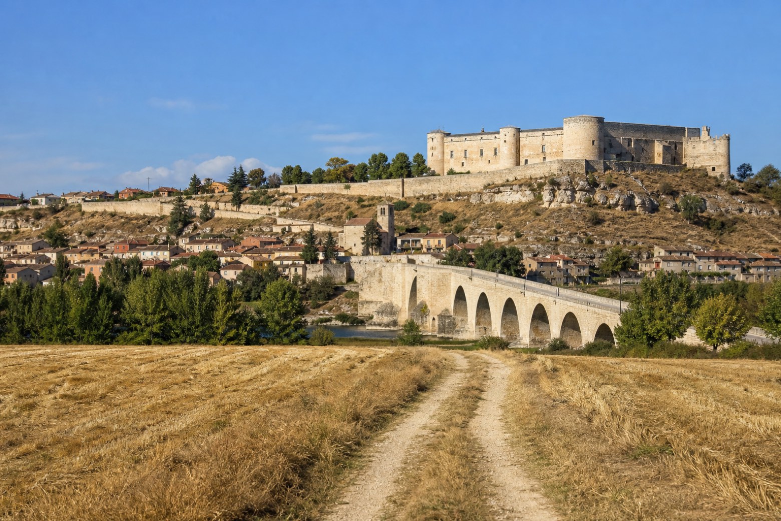 Stage 8
Alcazarén → Simancas
challenging- Distance
- 31 km
- Ascent
- 78 m
- Descent
- 67 m
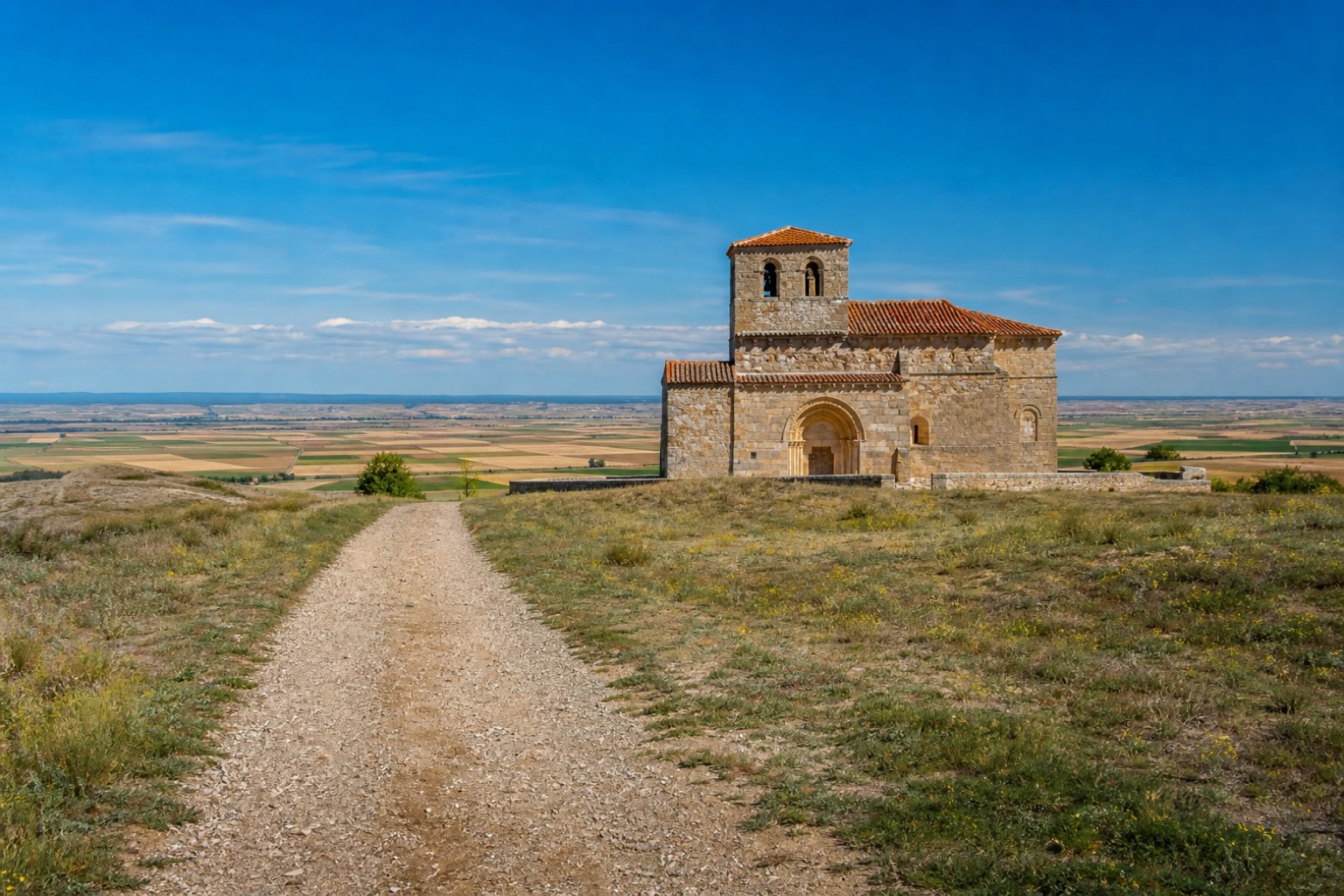 Stage 9
Simancas → Peñaflor de Hornija
moderate- Distance
- 21 km
- Ascent
- 179 m
- Descent
- 75 m
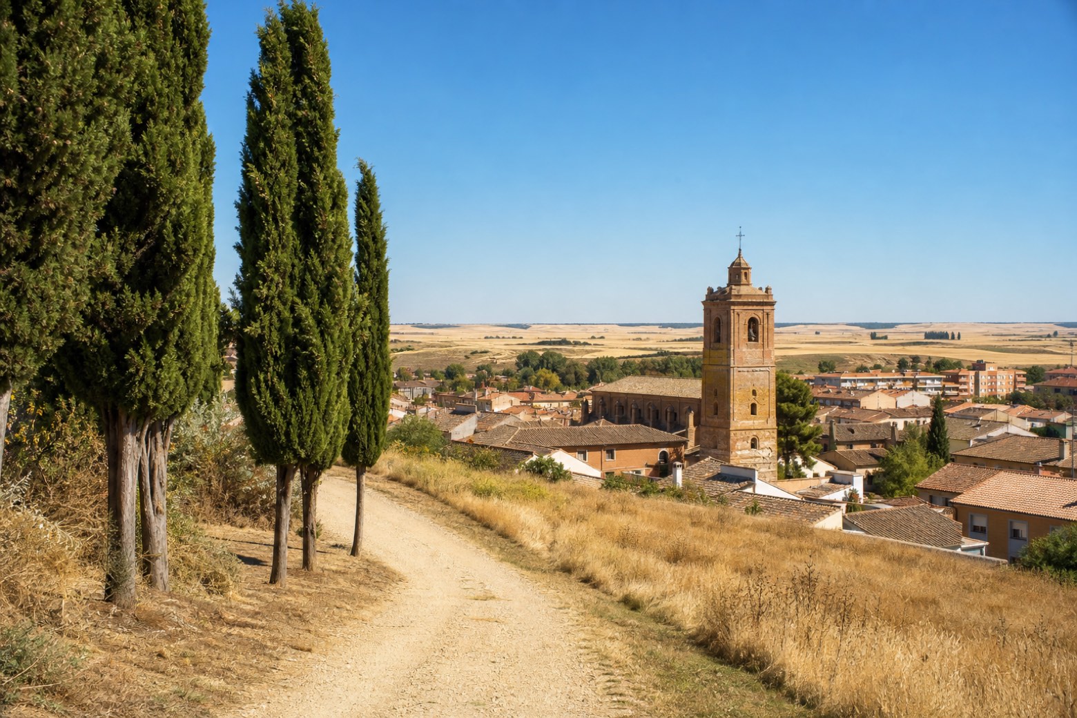 Stage 10
- Distance
- 25 km
- Ascent
- 70 m
- Descent
- 163 m
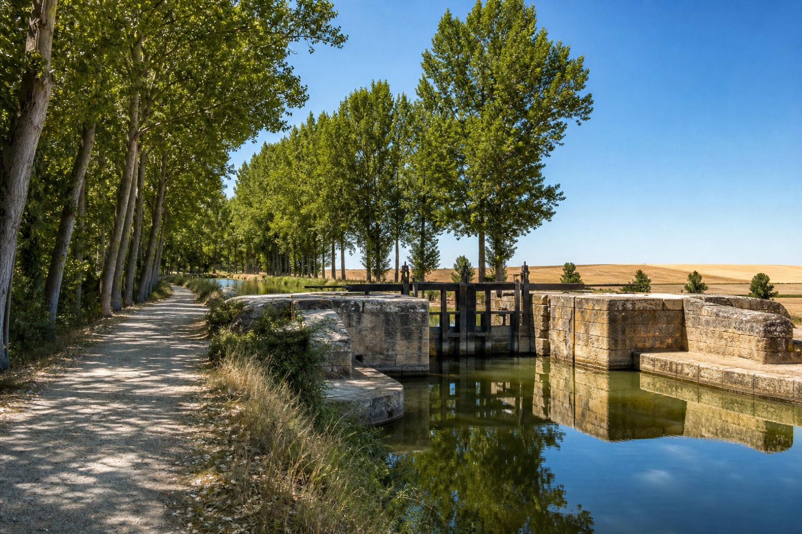 Stage 11
- Distance
- 23 km
- Ascent
- 32 m
- Descent
- 8 m
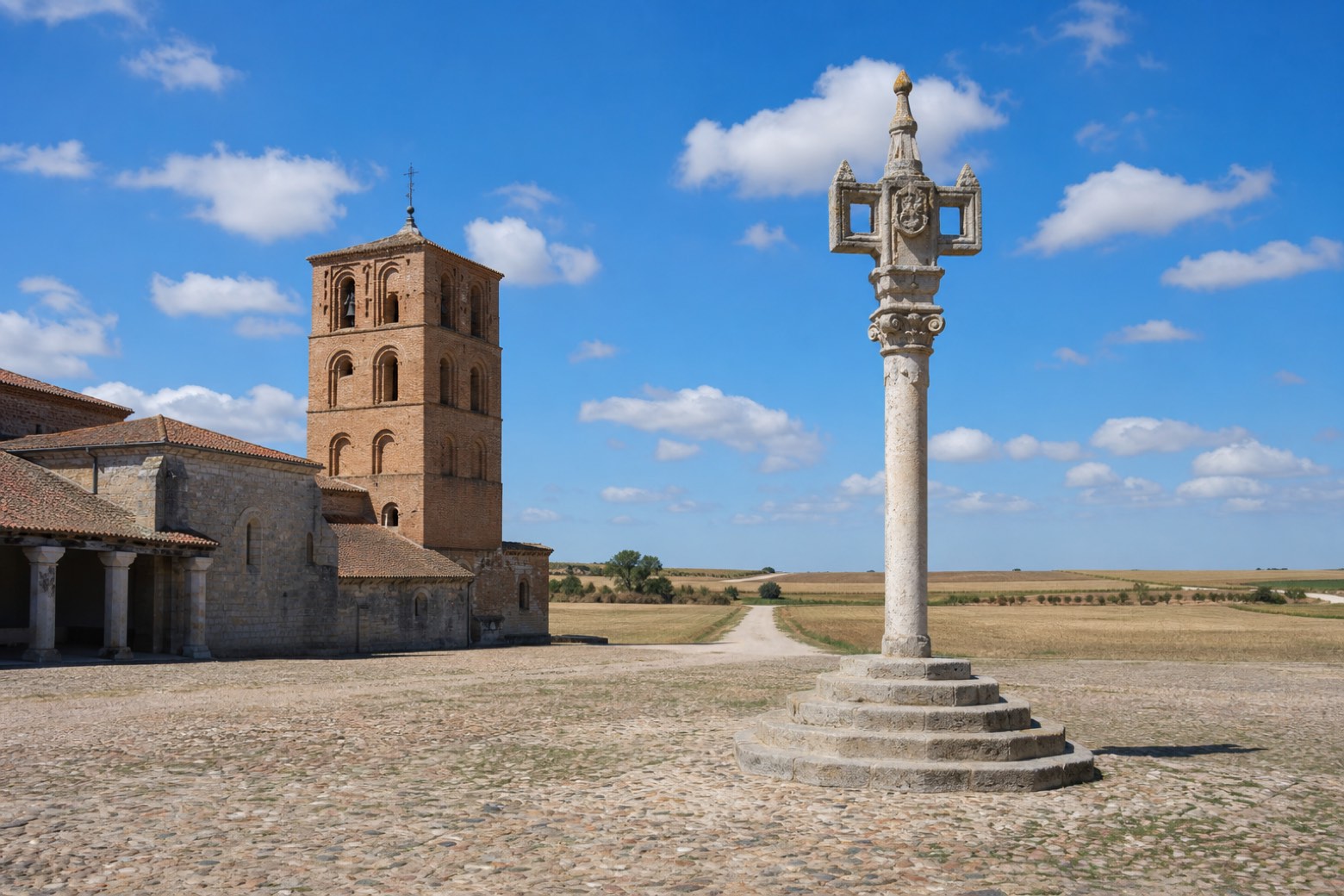 Stage 12
- Distance
- 21 km
- Ascent
- 37 m
- Descent
- 59 m
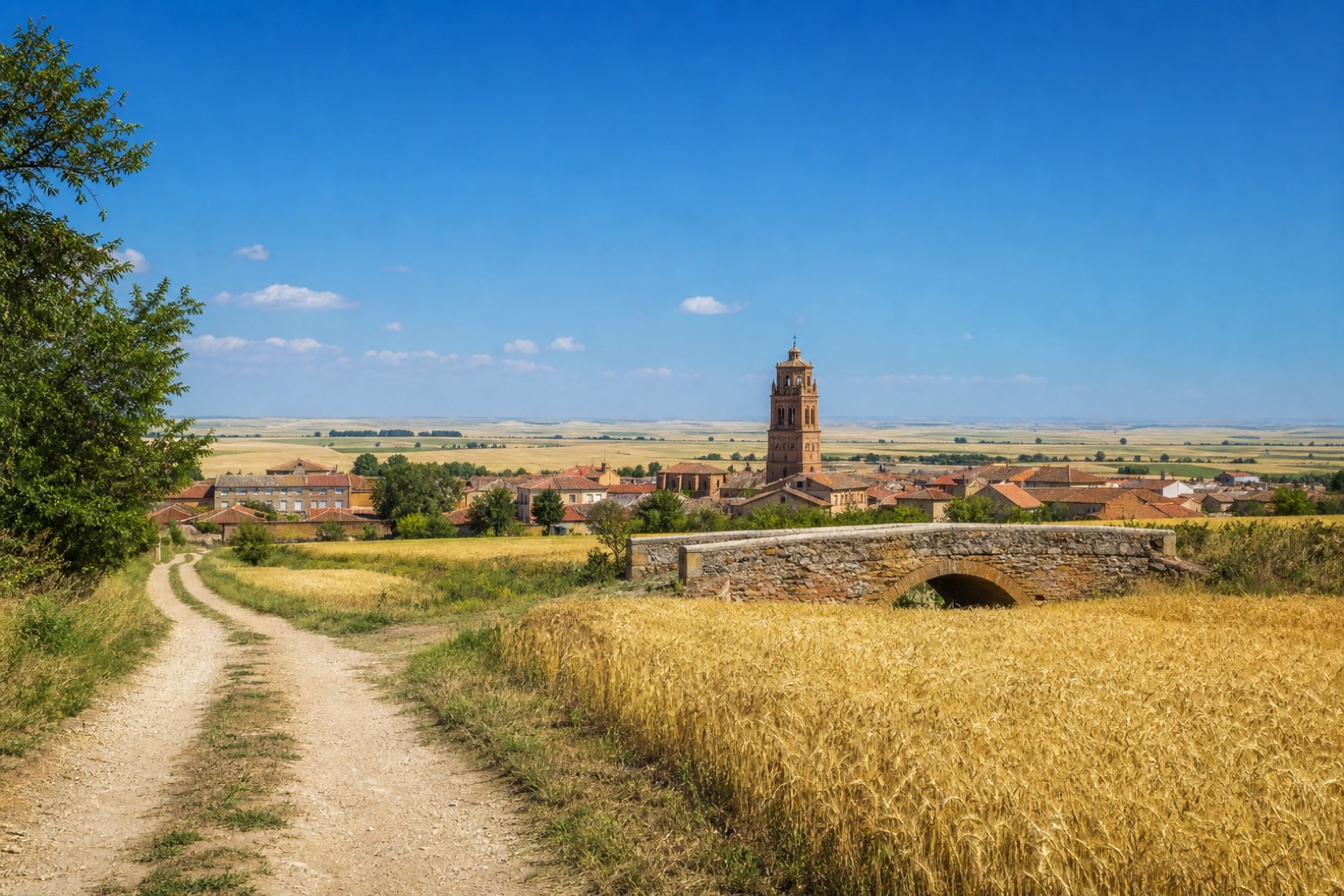 Stage 13
Santervás de Campos → Sahagún
moderate- Distance
- 21 km
- Ascent
- 62 m
- Descent
- 7 m
Points of interest
- Convento de Nuestra Señora de los Ángeles
16th-century monastery, in Madrid, Spain.
- Monastery of San Antonio el Real
Monastery, in Segovia, Spain, designated as bien de interés cultural.
- Castle of Simancas
Castle. Designated as bien de interés cultural.
- Grajal Counts Palace, Grajal de Campos
Palace in Renaissance style, in Grajal de Campos, Spain, designated as bien de interés cultural.
- Monasterio de Santa Clara
17th-century monastery, in Centro, Spain.
- Convent of Nuestra Señora de la Merced
16th-century monastery, in Madrid, Spain.
- Cerro Minguete
Natural landmark, in Community of Madrid, Spain, at 2,026 m elevation.
- Montón de Trigo
Natural landmark, in Segovia Province, Spain, designated as Lugar de Interés Geológico.
Travel
Find connections for your cammino.
Search trainsMore walks in Spain
Plan your walking trip
All articles and guidesHow to choose a walking route: stages, days and ascent
How many days can you actually spend walking? Start there, then choose stages that leave you time to stop along the way.
How to plan a walking trip by train and bus
Two different stations, a last bus and a backpack. Fit the journeys out and home around the days you want to spend walking.
Take your walk with you: download Appy
Camino de Madrid. Explore maps, stages and elevation in the app, and plan your train or bus journey.

