Segovia → Santa María la Real de Nieva
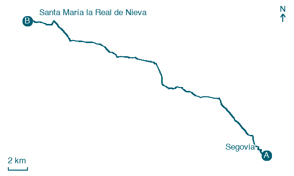
Walking distance 32.4 km
Download Appy for the stage map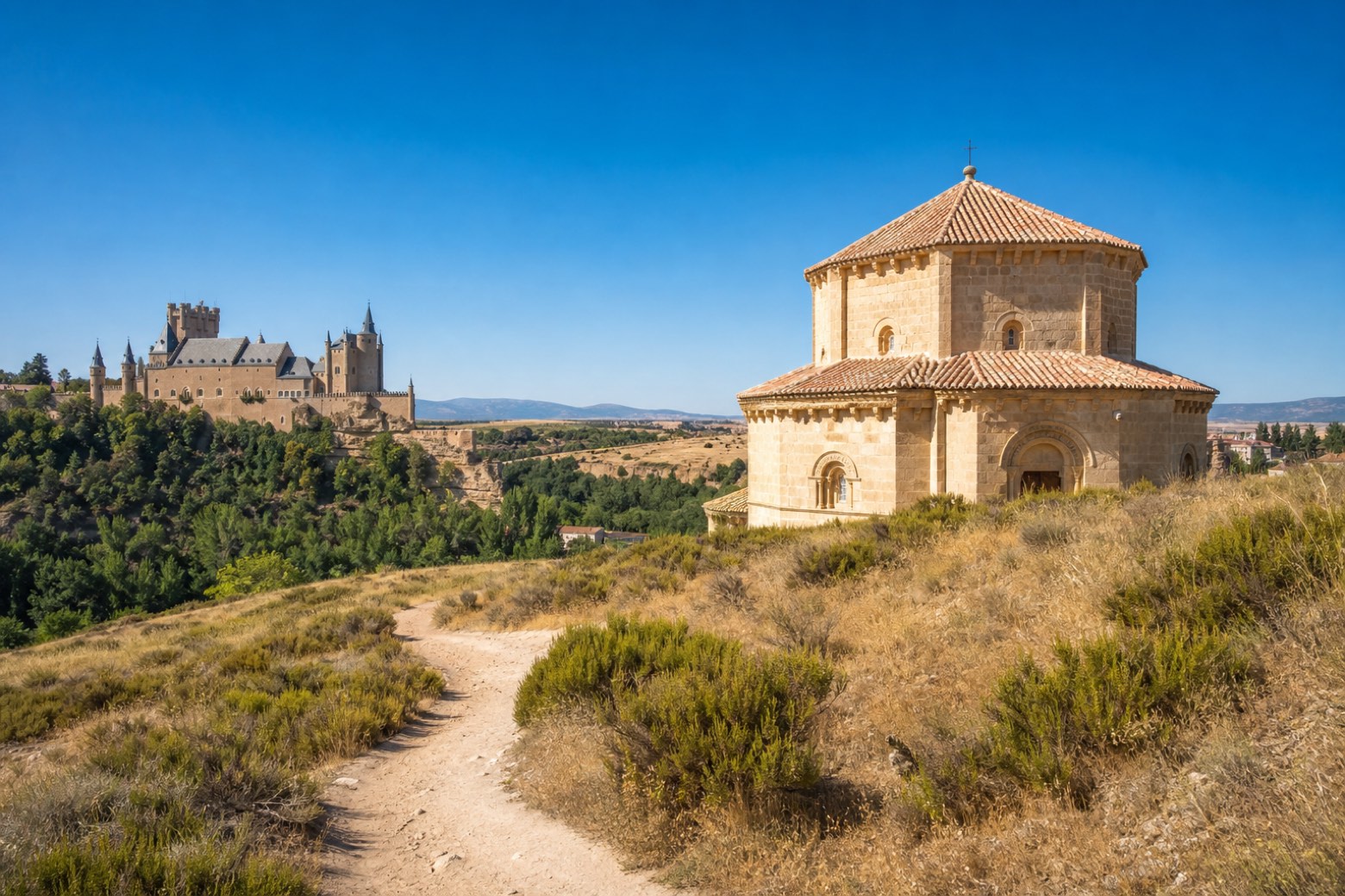
Stage information
- Ascent
- 217 m
- Descent
- 304 m
Difficulty: challenging
Walking the stage
Leaving Segovia past the Alcázar, the route climbs to the thirteenth century Vera Cruz church in Zamarramala and crosses farmland to Valseca and Los Huertos, then follows the old Eresma railway line and the Cristo de los Afligidos hermitage into Añe. After crossing the Moro river near Pinilla Ambroz, the path reaches the porticoed Plaza Mayor of Santa María la Real de Nieva and the Gothic cloister of the Monasterio de Santa María de la Soterraña.
Before leaving Segovia, locate Old Town and Aqueduct of Segovia on the map. It is close to the starting point.
Look for these places on the stage map: Zamarramala, La Estación, Añe, and Pascuales.
What to see on this stage
History and landmarks
Monastery of the Encarnación
Monastery · 700 m from the trail as the crow flies
16th-century monastery, in Segovia, Spain.
Monastery of San Antonio el Real
Monastery · 900 m from the trail as the crow flies
Monastery, in Segovia, Spain, designated as bien de interés cultural.
Nature and landscape
Old Town and Aqueduct of Segovia
National park · 100 m from the trail as the crow flies
The Roman aqueduct is regarded as Spain's greatest piece of Roman civil engineering and one of the best preserved monuments of ancient Rome on the peninsula. With the old town around it, it has been UNESCO World Heritage since 1985.
Peña Pinilla
Summit · 300 m from the trail as the crow flies
Map · Segovia → Santa María la Real de Nieva
Take your walk with you: download Appy
Camino de Madrid: Segovia → Santa María la Real de Nieva. Explore maps, stages and elevation in the app, and plan your train or bus journey.

