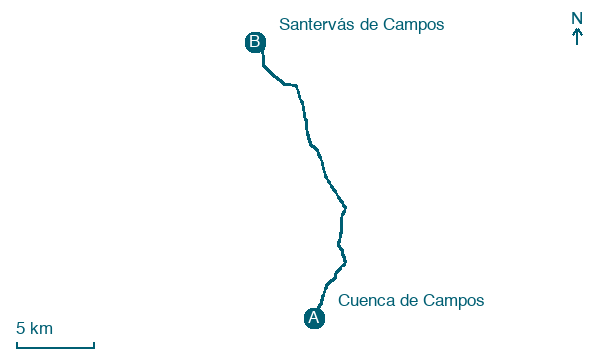
Cuenca de Campos → Santervás de Campos
Walking distance 21.1 km
Download Appy for the stage map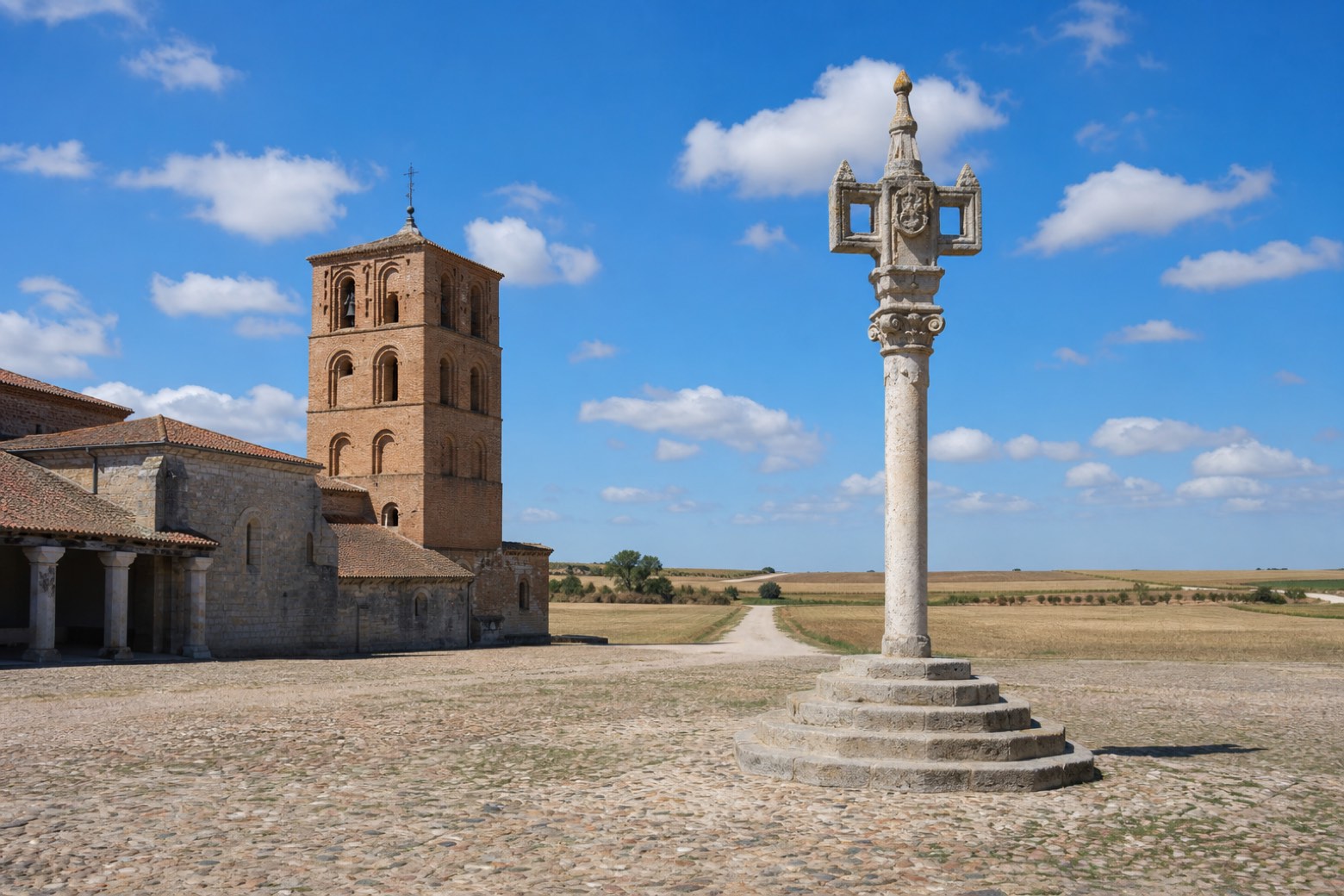
Stage information
- Ascent
- 37 m
- Descent
- 59 m
Difficulty: moderate
Walking the stage
Leaving Cuenca de Campos along the poplar-lined Calle Sol, the path follows the old Tren Burra railway bed past the Ermita de San Bernardino to Villalón de Campos, where a sixteenth century stone rollo stands in the Plaza Mayor beside the Iglesia de San Juan Bautista. Flat tracks continue through the small village of Fontihoyuelo to Santervás de Campos.
Before leaving Cuenca de Campos, locate Convento de San Bernardino de Siena (Cuenca de Campos) on the map. It is close to the starting point.
Look for these places on the stage map: Villalón de Campos, Fontihoyuelo, and Villacarralón.
What to see on this stage
History and landmarks
Villalón de Campos Pillory
< 100 m from the trail as the crow flies
Convento de San Bernardino de Siena (Cuenca de Campos)
200 m from the trail as the crow flies
Map · Cuenca de Campos → Santervás de Campos
Take your walk with you: download Appy
Camino de Madrid: Cuenca de Campos → Santervás de Campos. Explore maps, stages and elevation in the app, and plan your train or bus journey.

