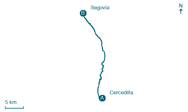
Cercedilla → Segovia
Walking distance 28.7 km
Download Appy for the stage map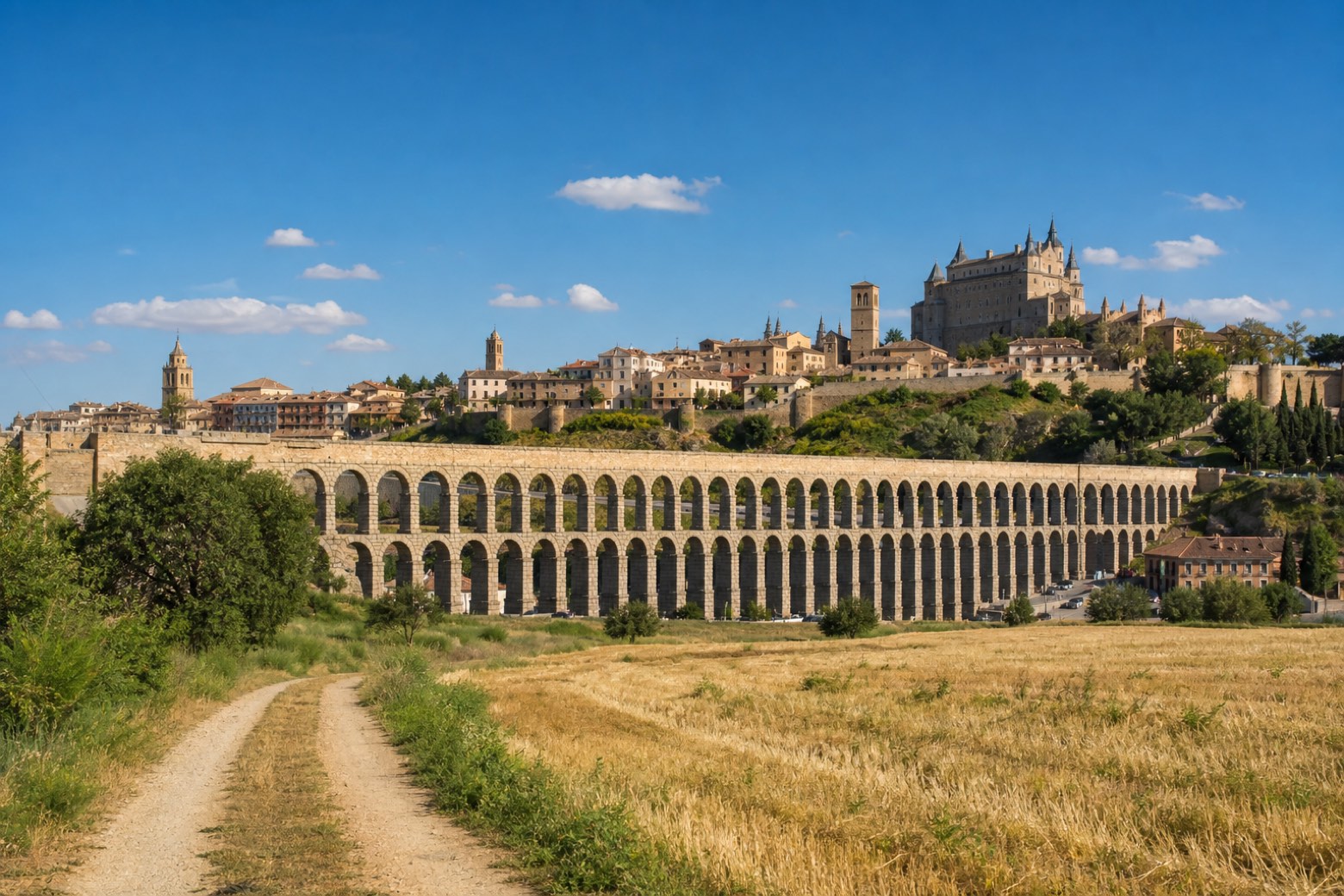
Stage information
- Ascent
- 652 m
- Descent
- 860 m
Difficulty: challenging
Walking the stage
A climb on the old Dehesas road passes the Puente del Descalzo, built under Felipe V, and the Pradera de Corralitos before the steepest section reaches the Puerto de la Fuenfría at 1,796 metres, the highest point on the whole walk. The descent passes the ruined buildings of Casarás from the time of Felipe II and the Fuente de la Reina spring, crossing open country to Segovia, where the walk ends at the Roman aqueduct in the Plaza del Azoguejo.
On arrival in Segovia, consider a stop at Old Town and Aqueduct of Segovia, close to the finish.
Look for these places on the stage map: Las Dehesas, Peñas del Erizo, and Carrascalejo.
What to see on this stage
History and landmarks
Roman Road of Fuenfría
< 100 m from the trail as the crow flies
Monument, in Segovia Province, Spain, designated as cultural heritage.
Segovia Station
300 m from the trail as the crow flies
19th-century monument, in Segovia, Spain, designated as cultural heritage, covering 109891.0 km².
Nature and landscape
Old Town and Aqueduct of Segovia
National park · 100 m from the trail as the crow flies
The Roman aqueduct is regarded as Spain's greatest piece of Roman civil engineering and one of the best preserved monuments of ancient Rome on the peninsula. With the old town around it, it has been UNESCO World Heritage since 1985.
Los Sanleonardos
Summit · < 100 m from the trail as the crow flies
Map · Cercedilla → Segovia
Take your walk with you: download Appy
Camino de Madrid: Cercedilla → Segovia. Explore maps, stages and elevation in the app, and plan your train or bus journey.

