Medina de Rioseco → Cuenca de Campos
Walking distance 22.6 km
Download Appy for the stage map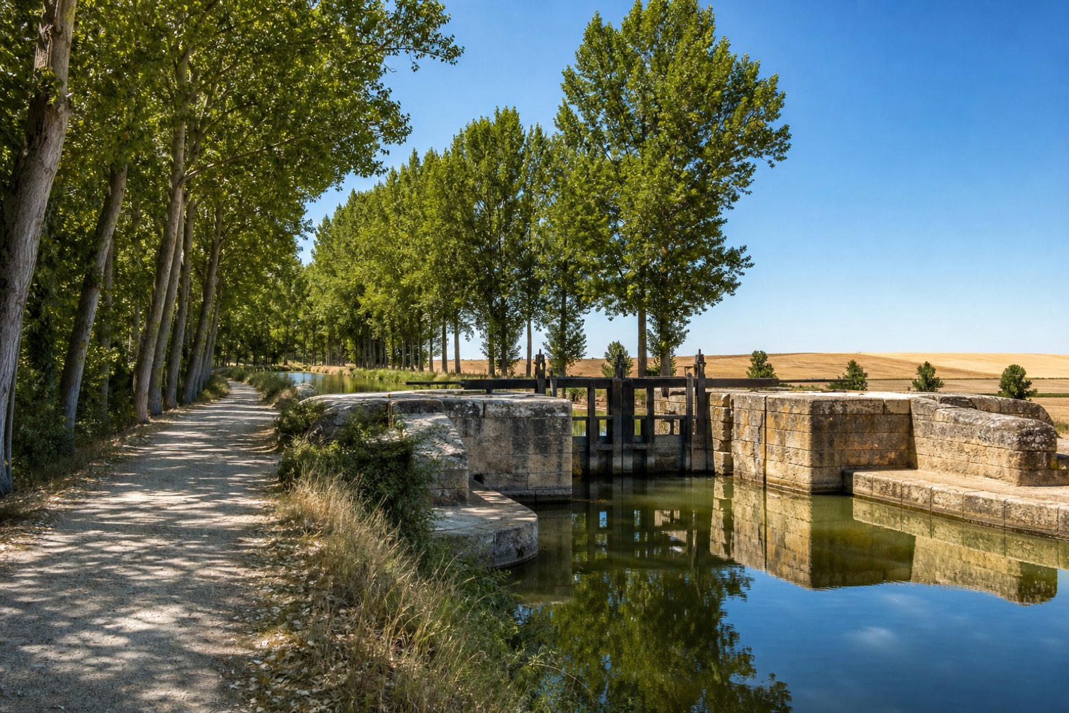
Stage information
- Ascent
- 32 m
- Descent
- 8 m
Difficulty: moderate
Walking the stage
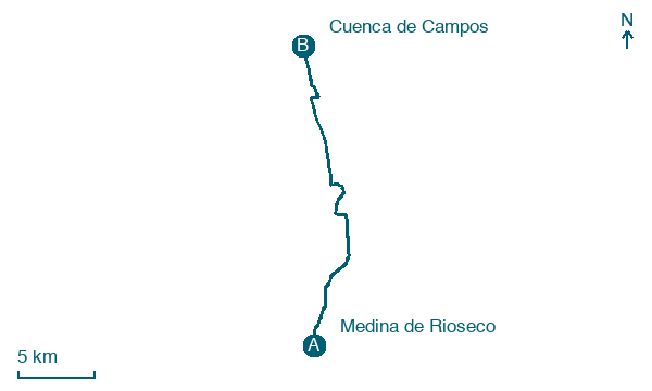
From the porticoed main street of Medina de Rioseco, a shaded towpath runs for several kilometres beside the poplar-lined Canal de Castilla, an eighteenth century engineering work, past its seventh lock. After the Sequillo river and the ruined Torre de San Juan the route reaches Tamariz de Campos, then crosses open plains through Moral de la Reina to the church tower of Cuenca de Campos.
Before leaving Medina de Rioseco, locate Fábrica de harinas San Antonio on the map. It is close to the starting point.
Look for these places on the stage map: Villanueva de San Mancio and Tamariz de Campos.
What to see on this stage
History and landmarks
Fábrica de harinas San Antonio
< 100 m from the trail as the crow flies
19th-century monument, in Medina de Rioseco, Spain, designated as bien de interés cultural, covering 2410.0 km².
Convento de San Francisco
Monastery · 900 m from the trail as the crow flies
Monastery in Renaissance style, in Medina de Rioseco, Spain, designated as bien de interés cultural.
Map · Medina de Rioseco → Cuenca de Campos
Take your walk with you: download Appy
Camino de Madrid: Medina de Rioseco → Cuenca de Campos. Explore maps, stages and elevation in the app, and plan your train or bus journey.

