Manzanares el Real → Cercedilla
Walking distance 19.2 km
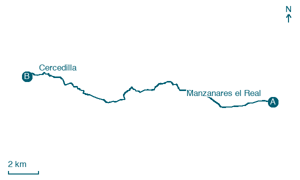
Download Appy for the stage map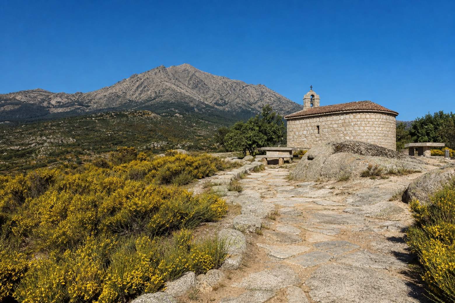
Stage information
- Ascent
- 412 m
- Descent
- 140 m
Difficulty: moderate
Walking the stage
From the ruins of the old Manzanares castle the route passes the La Pedriza visitor centre and the Ermita de San Isidro, with La Maliciosa peak in view, then crosses Mataelpino and climbs through forest to the Alto de la Angostura pass. The path descends into the mountain town of Navacerrada at 1,200 metres before a final stretch of track reaches Cercedilla.
Before leaving Manzanares el Real, locate Old castle of Manzanares el Real on the map. It is close to the starting point.
Look for these places on the stage map: El Boalo, Los Cebales, Navacerrada, and El Baillo y las Hojarascas.
What to see on this stage
History and landmarks
New Castle of Manzanares el Real
Castle · 500 m from the trail as the crow flies
Old castle of Manzanares el Real
< 100 m from the trail as the crow flies
Nature and landscape
Navacerrada Reservoir
Lake · 1.2 km from the trail as the crow flies
Lake covering 93.0 km². Navacerrada Dam is a reservoir in Navacerrada in the Community of Madrid, Spain.
El Alcornocal
1.6 km from the trail as the crow flies
Map · Manzanares el Real → Cercedilla
Take your walk with you: download Appy
Camino de Madrid: Manzanares el Real → Cercedilla. Explore maps, stages and elevation in the app, and plan your train or bus journey.

