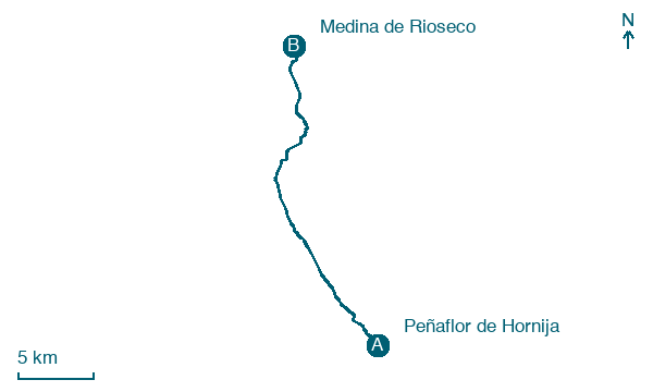
Peñaflor de Hornija → Medina de Rioseco
Walking distance 24.6 km
Download Appy for the stage map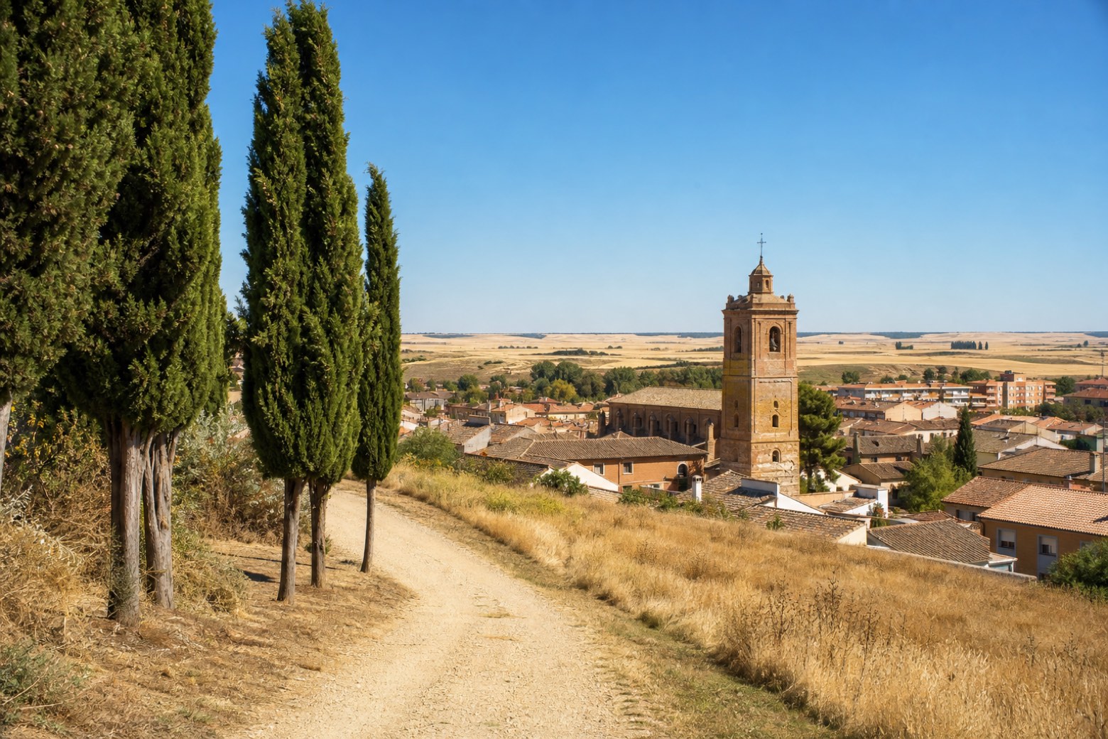
Stage information
- Ascent
- 70 m
- Descent
- 163 m
Difficulty: moderate
Walking the stage
A cobbled descent from the Plaza Mayor of Peñaflor de Hornija leads to dirt tracks near the monastery of La Santa Espina, then on to Castromonte and across the Bajoz river. Flat paths past Valverde de Campos and the old Tren Burra railway line follow the Sequillo river into Medina de Rioseco, home to the Convento de Santa Clara.
On arrival in Medina de Rioseco, consider a stop at Fábrica de harinas San Antonio, close to the finish.
Look for these places on the stage map: Castromonte and Valverde de Campos.
What to see on this stage
History and landmarks
Fábrica de harinas San Antonio
< 100 m from the trail as the crow flies
19th-century monument, in Medina de Rioseco, Spain, designated as bien de interés cultural, covering 2410.0 km².
Convento de San Francisco
Monastery · 300 m from the trail as the crow flies
Monastery in Renaissance style, in Medina de Rioseco, Spain, designated as bien de interés cultural.
Map · Peñaflor de Hornija → Medina de Rioseco
Take your walk with you: download Appy
Camino de Madrid: Peñaflor de Hornija → Medina de Rioseco. Explore maps, stages and elevation in the app, and plan your train or bus journey.

