Santa María la Real de Nieva → Coca
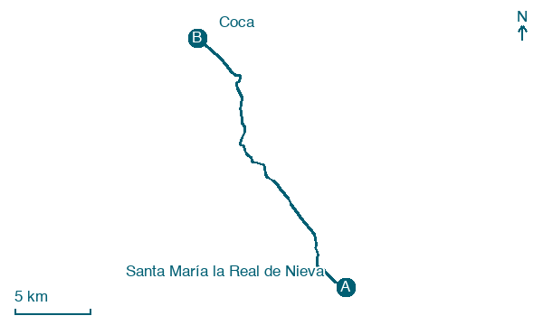
Walking distance 21.4 km
Download Appy for the stage map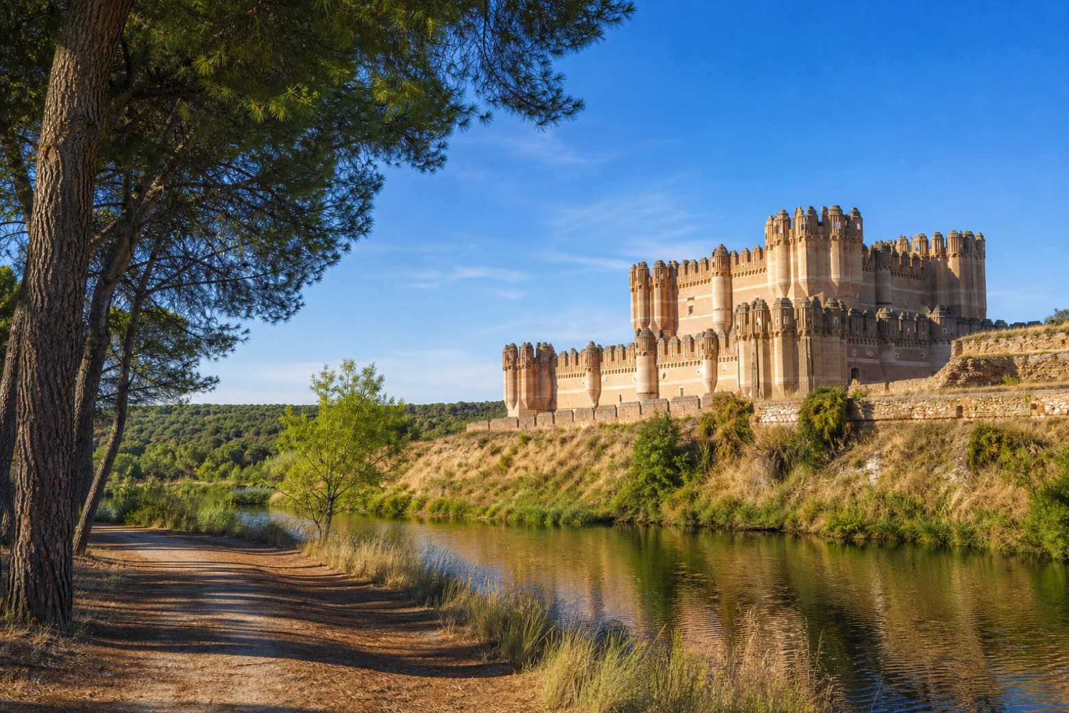
Stage information
- Ascent
- 0 m
- Descent
- 79 m
Difficulty: moderate
Walking the stage
The path crosses the Balisa stream into a resin pine forest, running parallel to a hidden high-speed rail line before open farmland leads to Nava de la Asunción. Dirt paths and two tunnels under the line follow the Eresma river into Coca, where the walk ends beneath the brick Mudéjar walls of the fifteenth century Castillo de Coca, built for the Fonseca family, and the parish church of Santa María.
Before leaving Santa María la Real de Nieva, locate Nuestra Señora de la Soterraña on the map. It is close to the starting point. On arrival in Coca, consider a stop at Castle of Coca, close to the finish.
Look for these places on the stage map: Nieva and Nava de la Asunción.
What to see on this stage
History and landmarks
Nuestra Señora de la Soterraña
< 100 m from the trail as the crow flies
Castle of Coca
Castle · 400 m from the trail as the crow flies
Map · Santa María la Real de Nieva → Coca
Take your walk with you: download Appy
Camino de Madrid: Santa María la Real de Nieva → Coca. Explore maps, stages and elevation in the app, and plan your train or bus journey.

