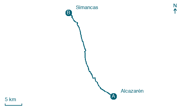
Alcazarén → Simancas
Walking distance 30.9 km
Download Appy for the stage map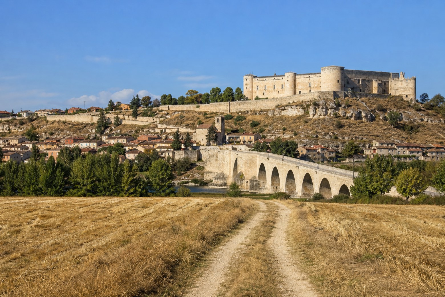
Stage information
- Ascent
- 78 m
- Descent
- 67 m
Difficulty: challenging
Walking the stage
Past the wine cellars behind Alcazarén, a pine forest track reaches the low stone Roman bridge over the Adaja river near the Ermita de Sieteiglesias, where the Eresma and Adaja rivers meet. The road passes through Valdestillas and its Nuestra Señora del Milagro church, over the Duero bridge at Puente Duero, and across the medieval bridge over the Pisuerga into Simancas, where the Renaissance castle holds the Archivo General de Simancas beside the Iglesia del Salvador.
On arrival in Simancas, consider a stop at Puente de Simancas, close to the finish.
Look for these places on the stage map: Valdestillas.
What to see on this stage
History and landmarks
Puente de Simancas
Bridge · < 100 m from the trail as the crow flies
Bridge, in Simancas, Spain, designated as bien de interés cultural, built in stone.
Puente Duero
< 100 m from the trail as the crow flies
Historic village, in Valladolid, Spain, at 686 m elevation.
Map · Alcazarén → Simancas
Take your walk with you: download Appy
Camino de Madrid: Alcazarén → Simancas. Explore maps, stages and elevation in the app, and plan your train or bus journey.

