Stage 13 · Camino de Madrid
Santervás de Campos → Sahagún
Stage information
Distance: 21 km
Ascent: 62 m
Descent: 7 m
Difficulty: moderate. Difficulty recorded in the catalogue.
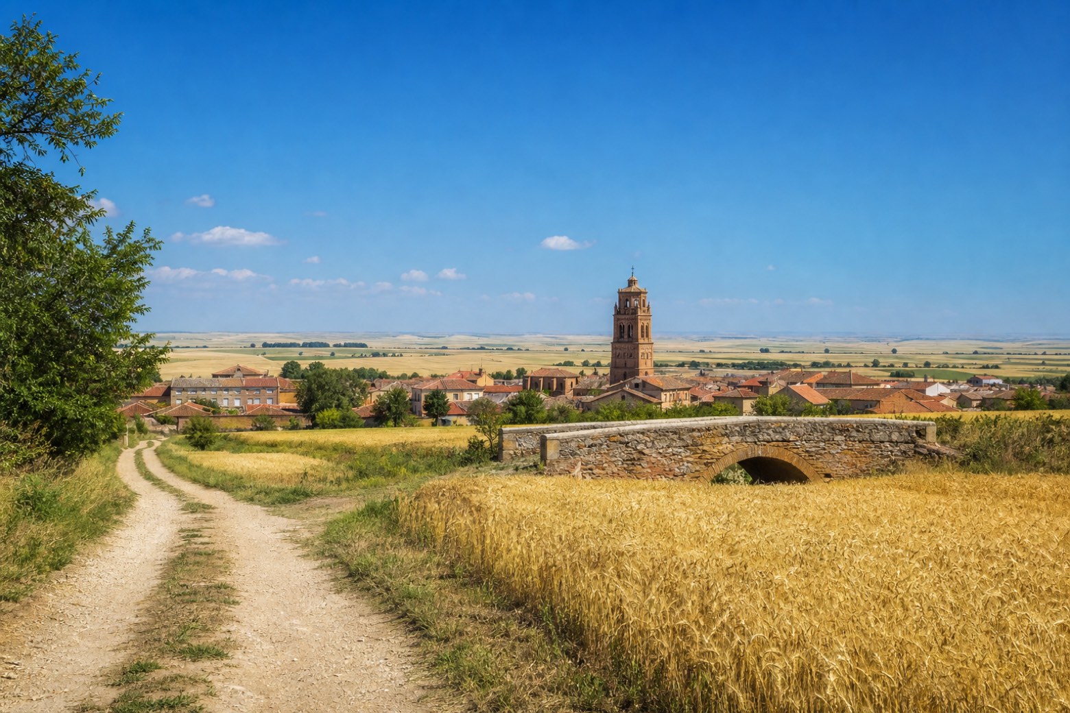
A road shoulder and earthen tracks lead past Arenillas de Valderaduey, crossing the canal that marks the border between the provinces of Valladolid and León, then follow the Valderaduey river under the high-speed rail line toward Grajal de Campos and San Pedro de las Dueñas. The final stretch reaches Sahagún, where the Camino de Madrid ends at the Mudéjar brick towers of the Iglesia de San Tirso, beside the ruined arch of the Real Monasterio de San Benito, and joins the Camino Francés.
View all stages of Camino de Madrid
Take your walk with you: download Appy
Camino de Madrid: Santervás de Campos → Sahagún. Explore maps, stages and elevation in the app, and plan your train or bus journey.