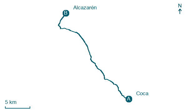
Coca → Alcazarén
Walking distance 25.6 km
Download Appy for the stage map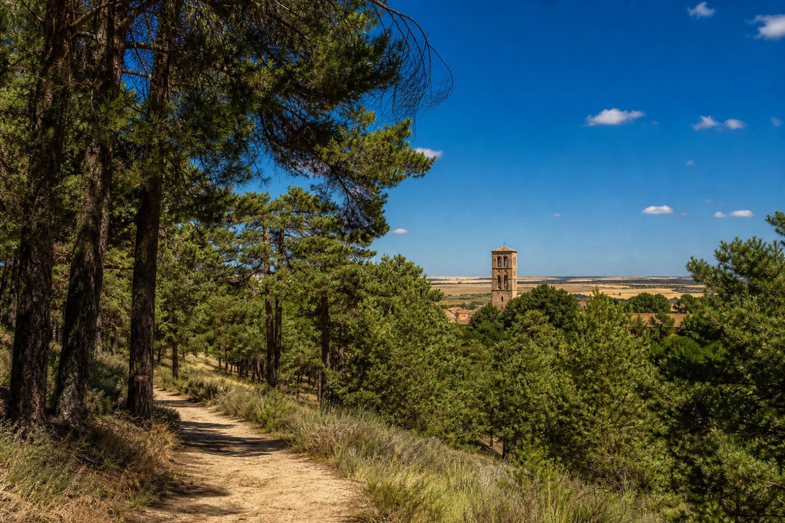
Stage information
- Ascent
- 16 m
- Descent
- 41 m
Difficulty: moderate
Walking the stage
From the Plaza Mayor of Coca the route passes the Romanesque tower of the Iglesia de San Nicolás and crosses the Voltoya river, then runs on sandy tracks through pine forest along the Eresma river. Villeguillo is the last village in Segovia province before open farmland leads to Alcazarén.
Before leaving Coca, locate Castle of Coca on the map. It is close to the starting point.
Look for these places on the stage map: Villeguillo and Llano de Olmedo.
What to see on this stage
History and landmarks
Castle of Coca
Castle · 300 m from the trail as the crow flies
Villeguillo
< 100 m from the trail as the crow flies
Map · Coca → Alcazarén
Take your walk with you: download Appy
Camino de Madrid: Coca → Alcazarén. Explore maps, stages and elevation in the app, and plan your train or bus journey.

