Madrid → Tres Cantos
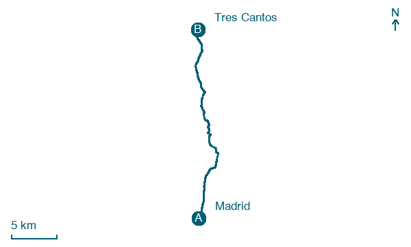
Walking distance 24.8 km
Download Appy for the stage map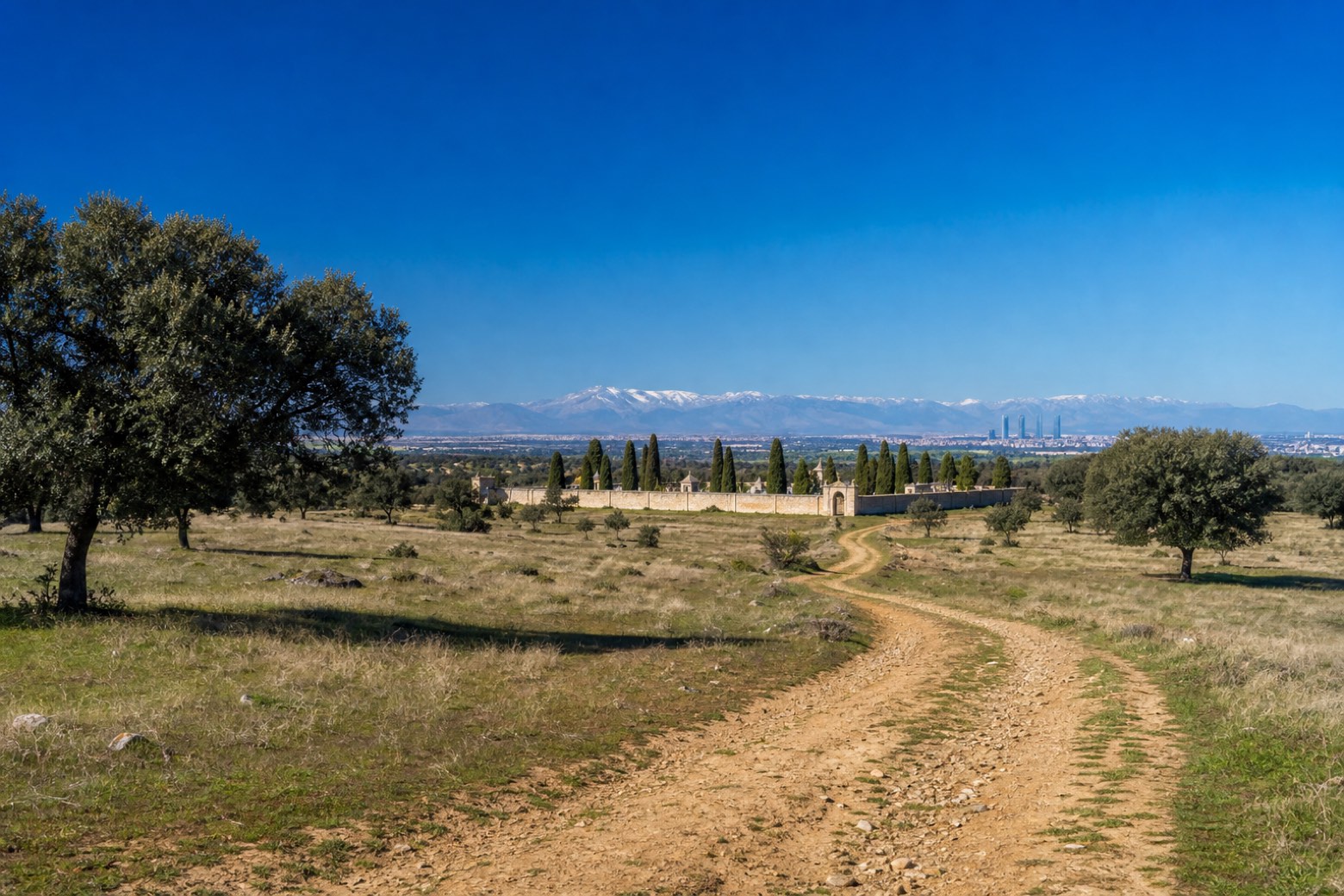
Stage information
- Ascent
- 182 m
- Descent
- 106 m
Difficulty: moderate
Walking the stage
The walk leaves Madrid from the Iglesia de Santiago y San Juan Bautista near the Royal Palace, crossing Puerta del Sol and Gran Vía before the Paseo de la Castellana runs past Plaza de Castilla, the Cuatro Torres skyscrapers and the Hospital Ramón y Cajal. Past the Cementerio de Fuencarral the city ends abruptly at open country, and a track through the old Dehesa Quemada pastureland crosses toward El Goloso with the Sierra de Guadarrama on the horizon, reaching Tres Cantos.
Before leaving Madrid, locate Convento de Nuestra Señora de los Ángeles on the map. It is close to the starting point.
What to see on this stage
History and landmarks
Caserón de San Bernardo
< 100 m from the trail as the crow flies
Monument, designed by Francisco Jareño y Alarcón, in Madrid, Spain, designated as cultural heritage.
Convento de Nuestra Señora de los Ángeles
Monastery · < 100 m from the trail as the crow flies
16th-century monastery, in Madrid, Spain.
Nature and landscape
Sabatini Central Pond
Lake · 400 m from the trail as the crow flies
20th-century lake, designed by Fernando García Mercadal, in Madrid, Spain.
Large Pond of Plaza de España
Lake · 400 m from the trail as the crow flies
20th-century lake, in Madrid, Spain.
Map · Madrid → Tres Cantos
Take your walk with you: download Appy
Camino de Madrid: Madrid → Tres Cantos. Explore maps, stages and elevation in the app, and plan your train or bus journey.

