Tres Cantos → Manzanares el Real
Walking distance 24.1 km
Download Appy for the stage map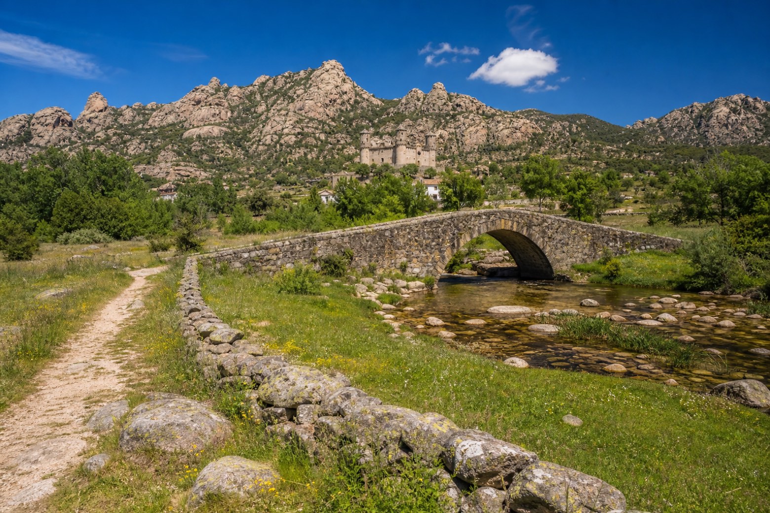
Stage information
- Ascent
- 416 m
- Descent
- 259 m
Difficulty: moderate
Walking the stage
Dirt tracks follow the Arroyo Tejada stream through oak meadows to Colmenar Viejo, passing the Ermita de Santa Ana and the Basílica de la Asunción. Beyond the town the path rejoins the GR-124, crosses the sixteenth century Puente del Batán and climbs with views of the La Pedriza granite crags before the Santillana reservoir spillway leads into Manzanares el Real, below the fifteenth century Mendoza castle.
On arrival in Manzanares el Real, consider a stop at New Castle of Manzanares el Real, close to the finish.
Look for these places on the stage map: Colmenar Viejo and San Pedro.
What to see on this stage
History and landmarks
Yacimientos arqueológicos de Colmenar Viejo
Archaeological site · < 100 m from the trail as the crow flies
New Castle of Manzanares el Real
Castle · 500 m from the trail as the crow flies
Nature and landscape
El Alcornocal
1.6 km from the trail as the crow flies
Peña el Gato
Summit · 1.3 km from the trail as the crow flies
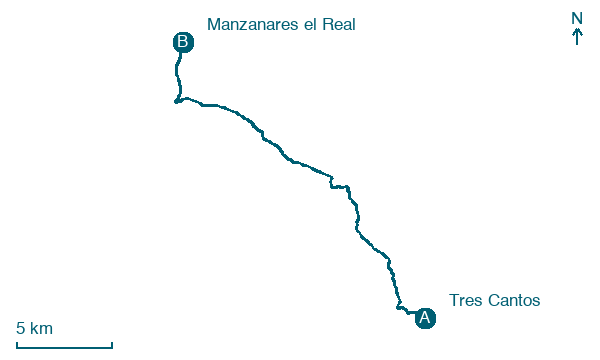
Map · Tres Cantos → Manzanares el Real
Take your walk with you: download Appy
Camino de Madrid: Tres Cantos → Manzanares el Real. Explore maps, stages and elevation in the app, and plan your train or bus journey.

