San Pantaleo → Palau
Walking distance 25 km
Download Appy for the stage map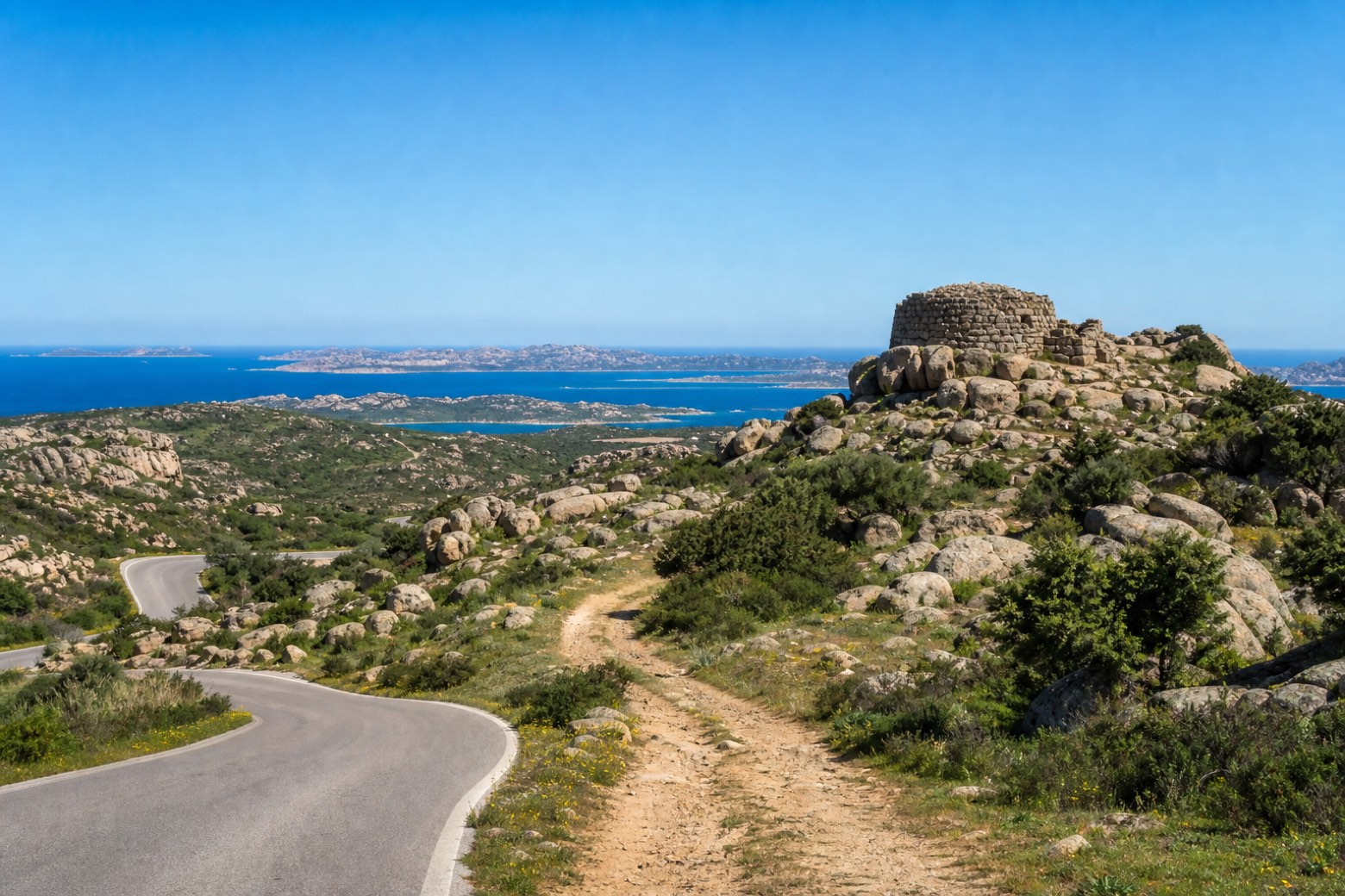
Stage information
- Ascent
- 92 m
- Descent
- 244 m
Difficulty: moderate
Walking the stage
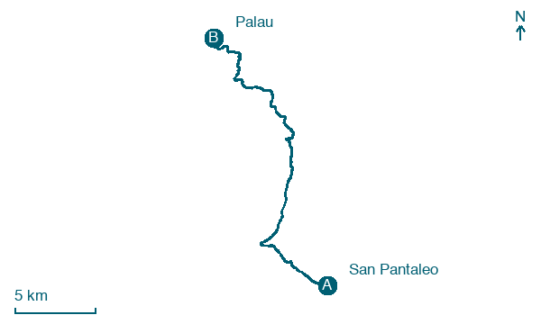
Paved roads and dirt tracks pass the Complesso nuragico di Albucciu, a nuraghe built against a granite outcrop, with the La Maddalena archipelago opening ahead to the north. The line reaches Palau on the Bocche di Bonifacio.
Before leaving San Pantaleo, locate Saint Pantaleon church on the map. It is close to the starting point.
Look for these places on the stage map: Alzachèna/Arzachena, La Conia, Tanca Manna, and Capo d'Orso.
What to see on this stage
History and landmarks
Saint Pantaleon church
Church · < 100 m from the trail as the crow flies
Albucciu nuragic complex
Archaeological site · 800 m from the trail as the crow flies
Map · San Pantaleo → Palau
Take your walk with you: download Appy
Cammino 100 Torri: Via Gallura: San Pantaleo → Palau. Explore maps, stages and elevation in the app, and plan your train or bus journey.

