Porto Pozzo → Capo Testa
Walking distance 19 km
Download Appy for the stage map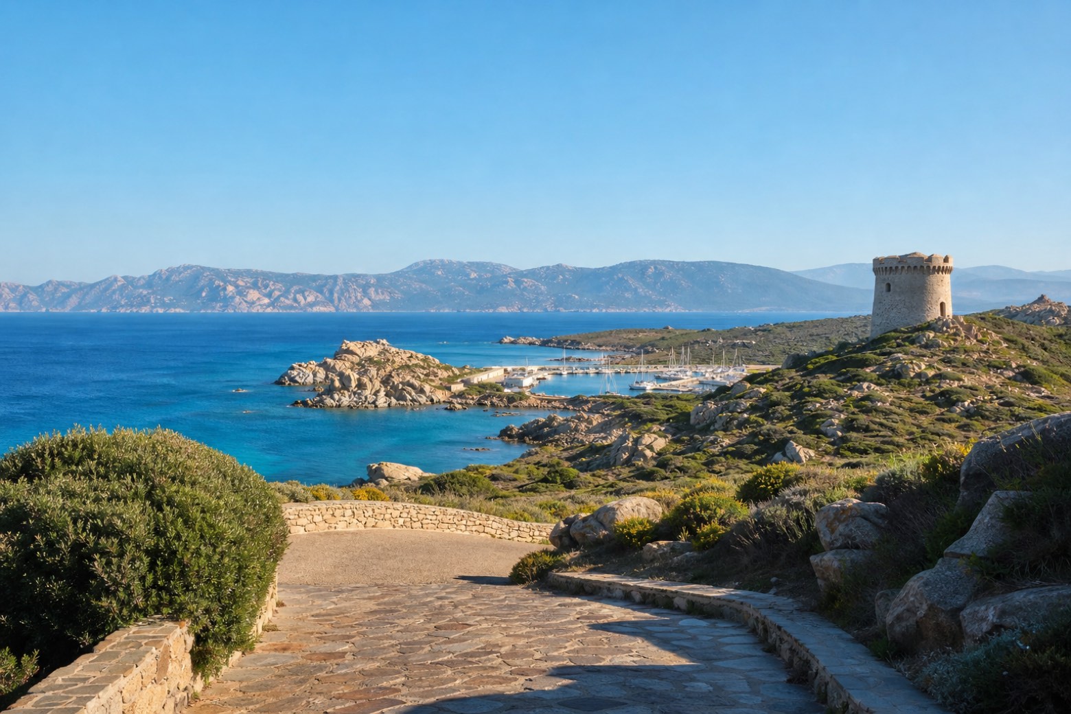
Stage information
- Ascent
- 278 m
- Descent
- 227 m
Difficulty: moderate
Walking the stage
Paved streets and granite paths pass Torre di Longonsardo, a Spanish coastal tower above the harbour of Santa Teresa Gallura, with the cliffs of Corsica across the strait. The stage ends at Capo Testa, a headland rather than a town, so lodging there is not confirmed.
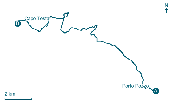
Before leaving Porto Pozzo, locate Laguna di Porto Pozzo on the map. It is close to the starting point. On arrival in Capo Testa, consider a stop at Valle della Luna, close to the finish.
Look for these places on the stage map: Villaggio Valentina, Frazione Ruoni, Lungoni/Santa Teresa Gallura, and Baia Santa Reparata.
What to see on this stage
History and landmarks
Torre di Longonsardo
Tower · < 100 m from the trail as the crow flies
Nature and landscape
Valle della Luna
700 m from the trail as the crow flies
Laguna di Porto Pozzo
Lake · 700 m from the trail as the crow flies
Map · Porto Pozzo → Capo Testa
Take your walk with you: download Appy
Cammino 100 Torri: Via Gallura: Porto Pozzo → Capo Testa. Explore maps, stages and elevation in the app, and plan your train or bus journey.

