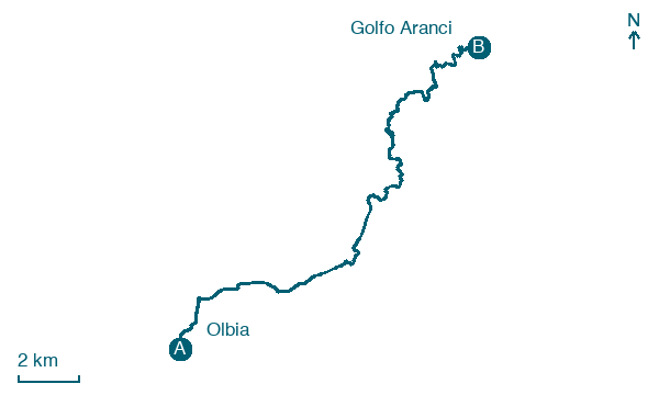
Olbia → Golfo Aranci
Walking distance 22.2 km
Download Appy for the stage map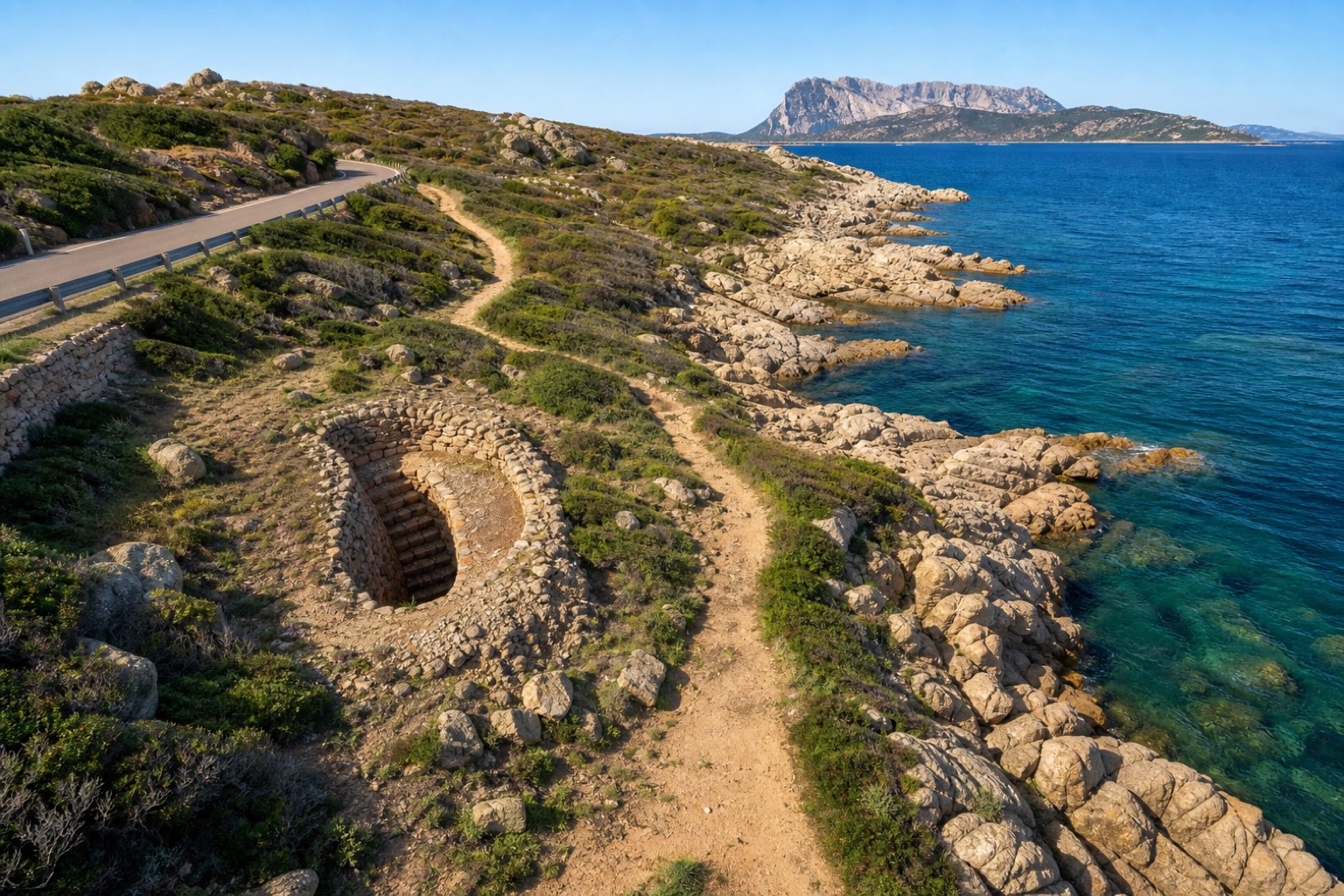
Stage information
- Ascent
- 85 m
- Descent
- 91 m
Difficulty: moderate
Walking the stage
Coast road and dirt tracks lead past the Pozzo sacro di Sa Testa, a nuragic sacred well with a stone stairway down to its water chamber, with Capo Figari rising ahead to the north-east. The via continues to Golfo Aranci.
Before leaving Olbia, locate Villa Clorinda on the map. It is close to the starting point.
Look for these places on the stage map: Sa Testa, Nodu Pianu, Punta Pedrosa, and Spiaggia Bianca.
What to see on this stage
History and landmarks
Palazzo
Palace · < 100 m from the trail as the crow flies
A trapezoidal building of about 690 square meters, situated on a lot of approximately 1280 square meters, it is structured over two levels, with projections and a portico on the SE facade, while on the short side it faces Corso Umberto I with an entrance pronaos topped by a balustraded balcony.
Villa Clorinda
Palace · 100 m from the trail as the crow flies
Residential building with an asymmetric plan (today two new bodies are attached laterally), featuring a vertical development over two floors and an additional level added later above the projecting molded cornice, beyond which rises a crenellated belvedere turret.
Nature and landscape
Gelso nero di Via Siena 5, Olbia
Monumental tree · 900 m from the trail as the crow flies
Italy’s monumental tree register identifies this specimen as Morus nigra L. It records a height of 8 m and a trunk circumference of 450 cm.
Map · Olbia → Golfo Aranci
Take your walk with you: download Appy
Cammino 100 Torri: Via Gallura: Olbia → Golfo Aranci. Explore maps, stages and elevation in the app, and plan your train or bus journey.

