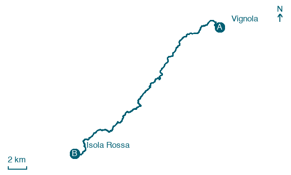
Vignola → Isola Rossa
Walking distance 29.9 km
Download Appy for the stage map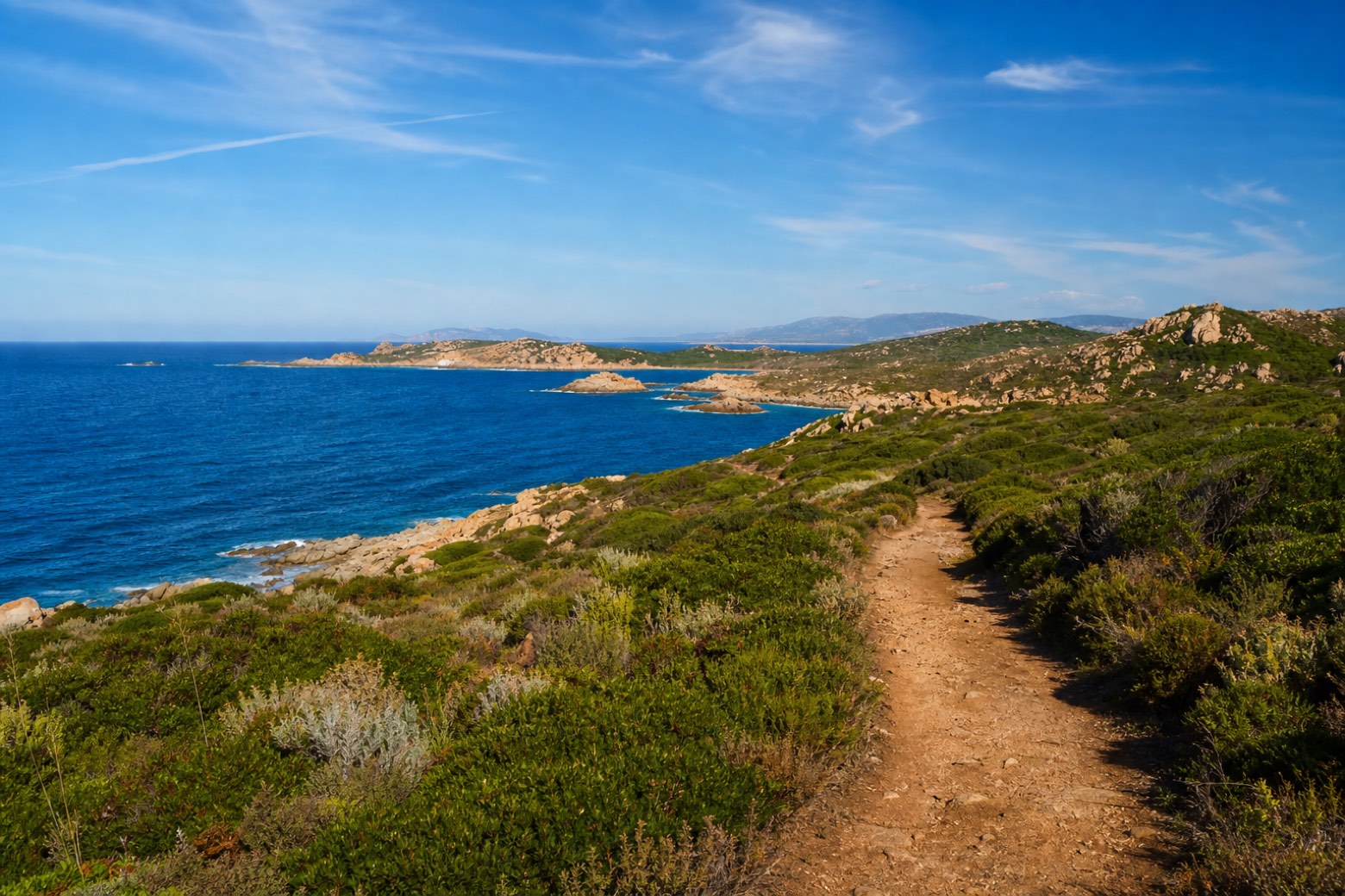
Stage information
- Ascent
- 268 m
- Descent
- 278 m
Difficulty: challenging
Walking the stage
Dirt tracks follow the coast to Torre dell'Isola Rossa, a round tower on the Isola Rossa headland, with the Golfo dell'Asinara opening to the west. This is the longest stage of the via, ending at the resort village of Isola Rossa.
On arrival in Isola Rossa, consider a stop at Torre dell'Isola Rossa, close to the finish.
Look for these places on the stage map: Portobello di Gallura, Costa Paradiso, and Canneddi.
What to see on this stage
History and landmarks
Torre dell'Isola Rossa
Tower · < 100 m from the trail as the crow flies
Map · Vignola → Isola Rossa
Take your walk with you: download Appy
Cammino 100 Torri: Via Gallura: Vignola → Isola Rossa. Explore maps, stages and elevation in the app, and plan your train or bus journey.

