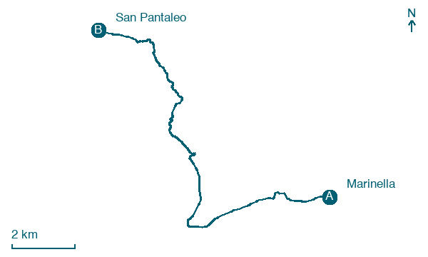
Marinella → San Pantaleo
Walking distance 14.2 km
Download Appy for the stage map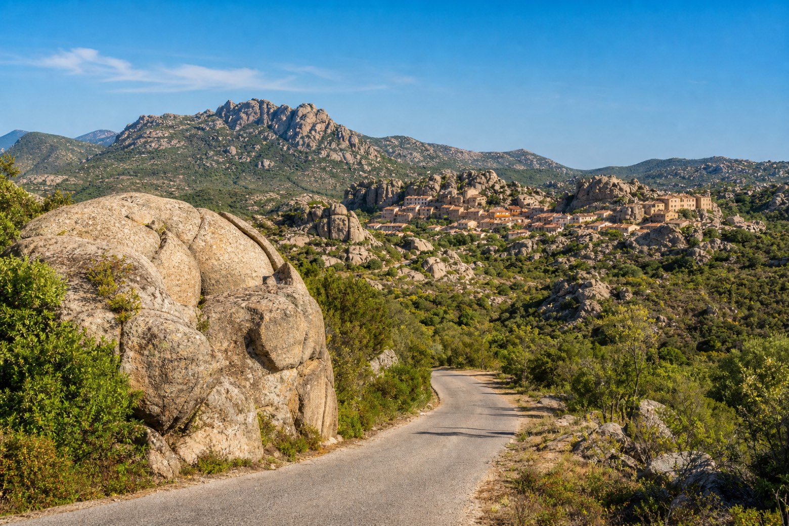
Stage information
- Ascent
- 358 m
- Descent
- 197 m
Difficulty: easy
Walking the stage
Country roads lead inland to San Pantaleo, a village set among granite outcrops with Monte Cugnana rising close to the south. The shortest stage of the via, it pauses here before turning back toward the coast road that continues north toward Palau and the Bocche di Bonifacio.
On arrival in San Pantaleo, consider a stop at Saint Pantaleon church, close to the finish.
Look for these places on the stage map: Rudalza and Cugnana Verde.
What to see on this stage
History and landmarks
Saint Pantaleon church
Church · < 100 m from the trail as the crow flies
Map · Marinella → San Pantaleo
Take your walk with you: download Appy
Cammino 100 Torri: Via Gallura: Marinella → San Pantaleo. Explore maps, stages and elevation in the app, and plan your train or bus journey.

