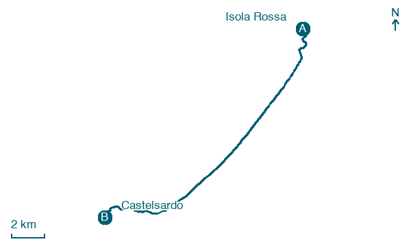
Isola Rossa → Castelsardo
Walking distance 19.5 km
Download Appy for the stage map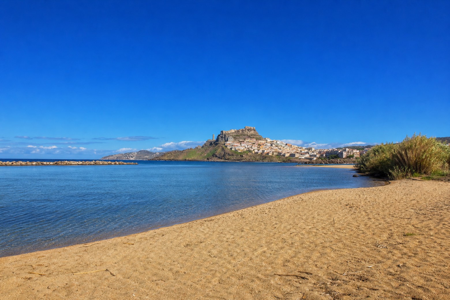
Stage information
- Ascent
- 120 m
- Descent
- 27 m
Difficulty: moderate
Walking the stage
The line follows sand along the Valledoria shore, crossing the Coghinas river mouth directly; a bridge detour may be needed. Beyond, Via Gallura ends near Castelsardo, its medieval castle crowning the old town on its promontory above the Golfo dell'Asinara, where Via Catalana begins.
Before leaving Isola Rossa, locate Torre dell'Isola Rossa on the map. It is close to the starting point.
Look for these places on the stage map: Li Scalitti, Codaruina/Valledoria, San Pietro a Mare, and La Ciaccia.
What to see on this stage
History and landmarks
Torre dell'Isola Rossa
Tower · 300 m from the trail as the crow flies
Map · Isola Rossa → Castelsardo
Take your walk with you: download Appy
Cammino 100 Torri: Via Gallura: Isola Rossa → Castelsardo. Explore maps, stages and elevation in the app, and plan your train or bus journey.

