Capo Testa → Vignola
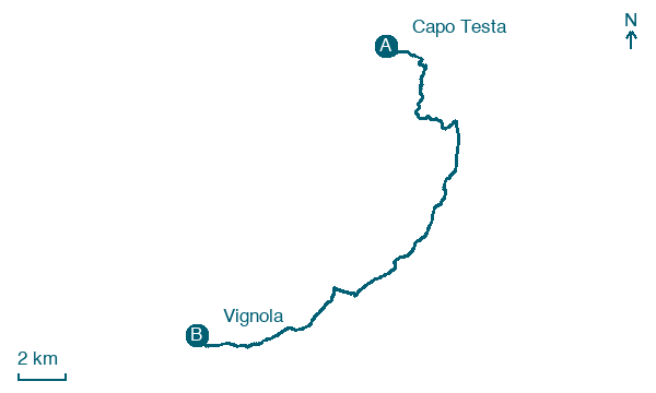
Walking distance 25.5 km
Download Appy for the stage map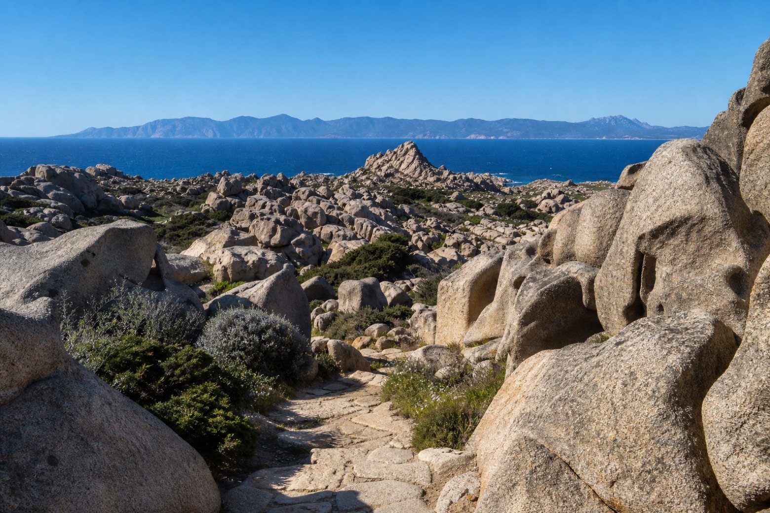
Stage information
- Ascent
- 180 m
- Descent
- 207 m
Difficulty: moderate
Walking the stage
Granite paths cross the wind-sculpted boulders of the Valle della Luna at Capo Testa, with Corsica across the strait to the north, before dirt tracks continue west along the coast to the hamlet of Vignola, in the comune of Aglientu.
Before leaving Capo Testa, locate Valle della Luna on the map. It is close to the starting point.
Look for these places on the stage map: Baia Santa Reparata, Rena Majore/Rena Majori, Residenza dell'Aquila, and Lu Lamoni.
What to see on this stage
Nature and landscape
Valle della Luna
500 m from the trail as the crow flies
Map · Capo Testa → Vignola
Take your walk with you: download Appy
Cammino 100 Torri: Via Gallura: Capo Testa → Vignola. Explore maps, stages and elevation in the app, and plan your train or bus journey.

