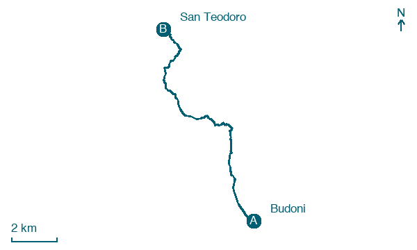
Budoni → San Teodoro
Walking distance 12.2 km
Download Appy for the stage map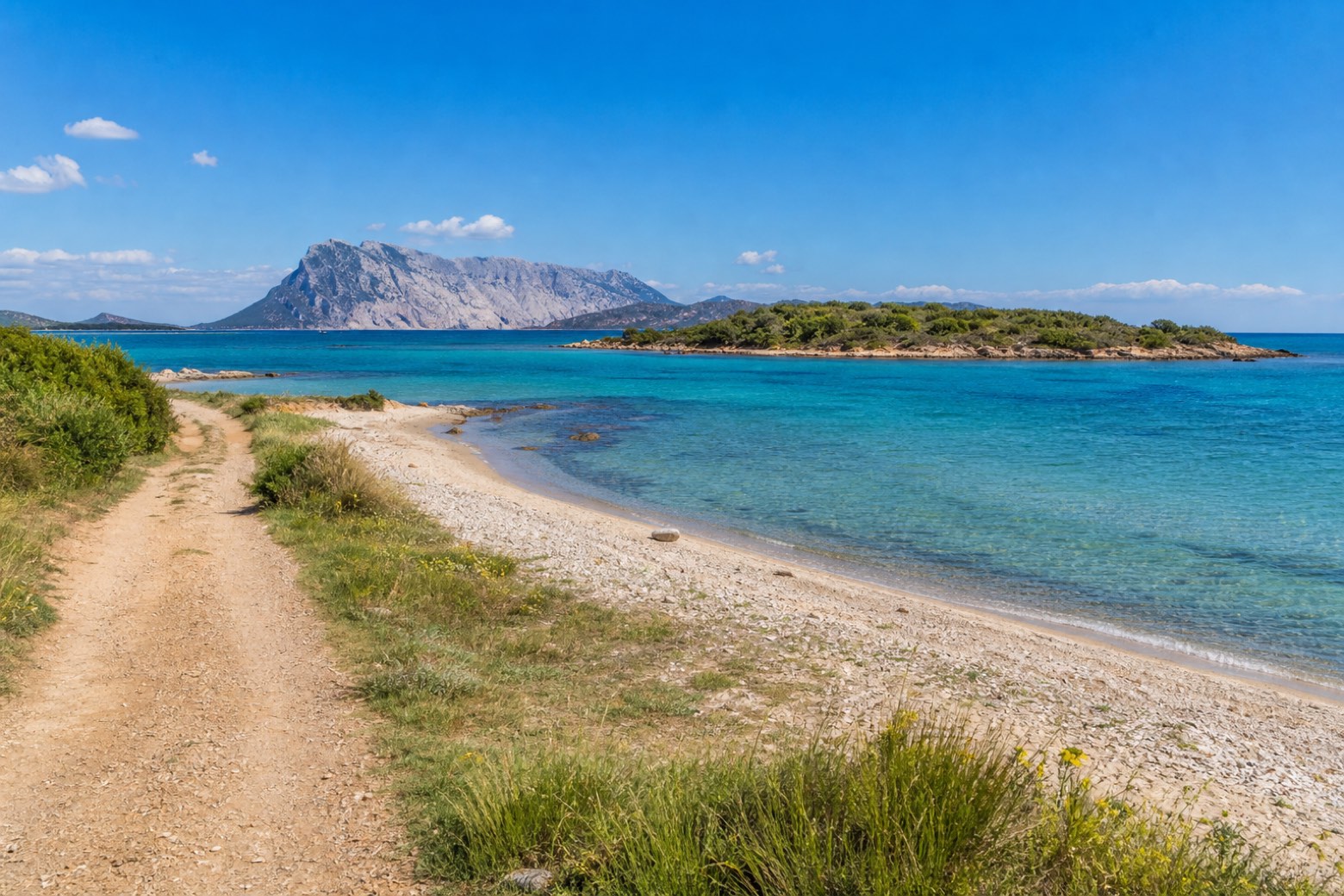
Stage information
- Ascent
- 112 m
- Descent
- 111 m
Difficulty: easy
Walking the stage
Dirt tracks and beach lead north from Budoni past the Isolotto di Ottiolu, a small islet off the Ottiolu marina, with the Isola di Tavolara rising from the sea ahead. Via Gallura opens the fourth leg of the ring, running along the granite coast toward Castelsardo.
Look for these places on the stage map: Agrustos, Ottiolu, Lu Miriacheddu, and La Padula Sicca.
What to see on this stage
Nature and landscape
Ottiolu cay
400 m from the trail as the crow flies
Map · Budoni → San Teodoro
Take your walk with you: download Appy
Cammino 100 Torri: Via Gallura: Budoni → San Teodoro. Explore maps, stages and elevation in the app, and plan your train or bus journey.

