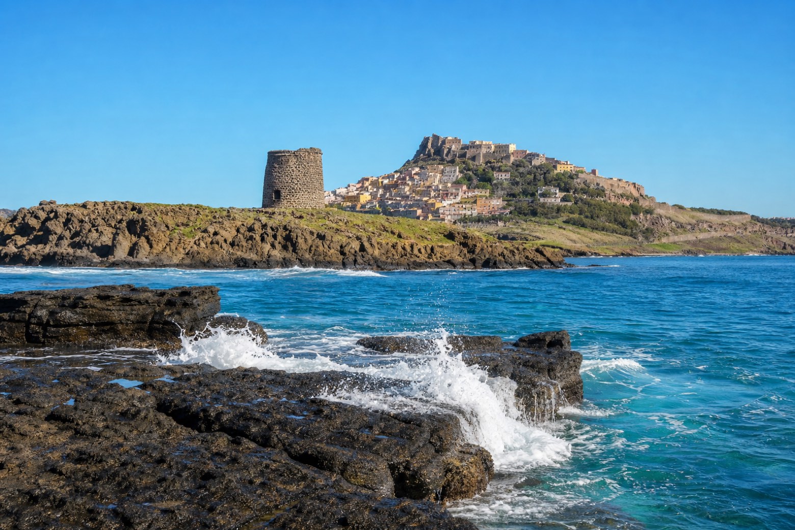
Cammino 100 Torri: Via Catalana
Sardegna, Italy
Italy · Castelsardo, Italy → Bosa, Italy
Distance
228 km
Stages
10
Difficulty
moderate
Best months
Mar-Jun, Sep-Nov
About
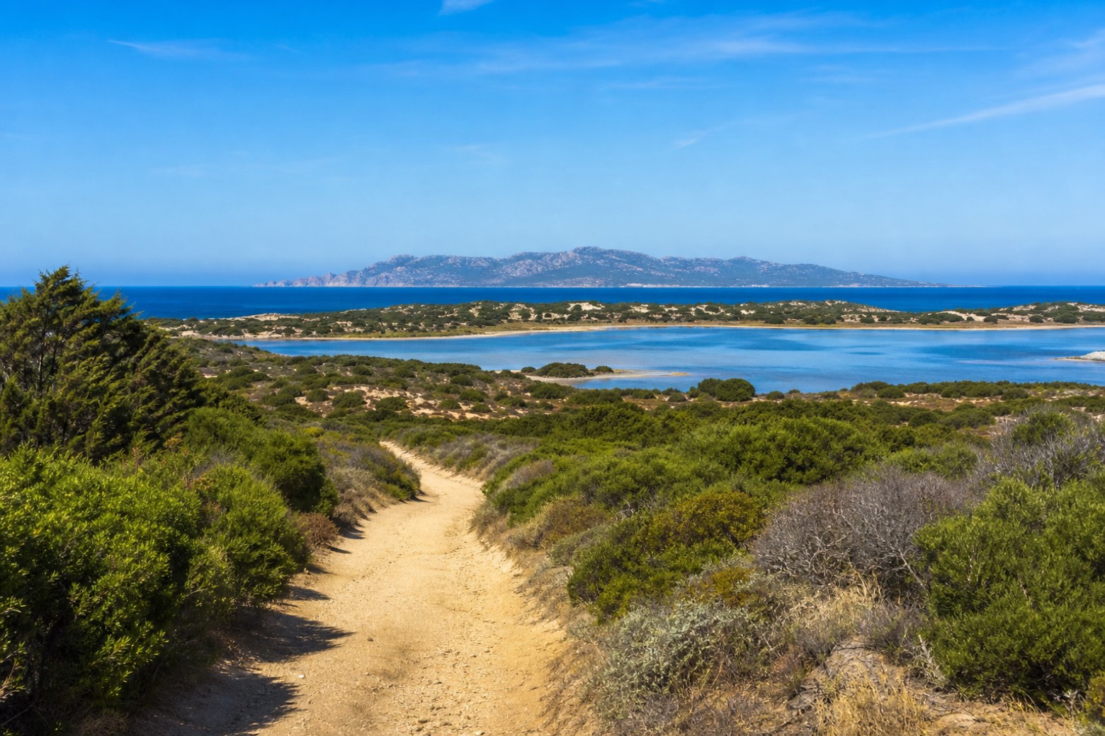
Via Catalana is one of the eight vie of the Cammino 100 Torri, the coastal ring past Sardinia's old defence towers; it takes over from Via Gallura at Castelsardo and hands on to Via dei Giganti at Bosa. About 230 km along the north-west coast, it passes Porto Torres, Stintino, the cliffs of Capo Caccia and the Catalan town of Alghero.
Stages
10 stages
- Stage 1
Castelsardo → Platamona
challengingDistance30 kmAscent89 mDescent188 m 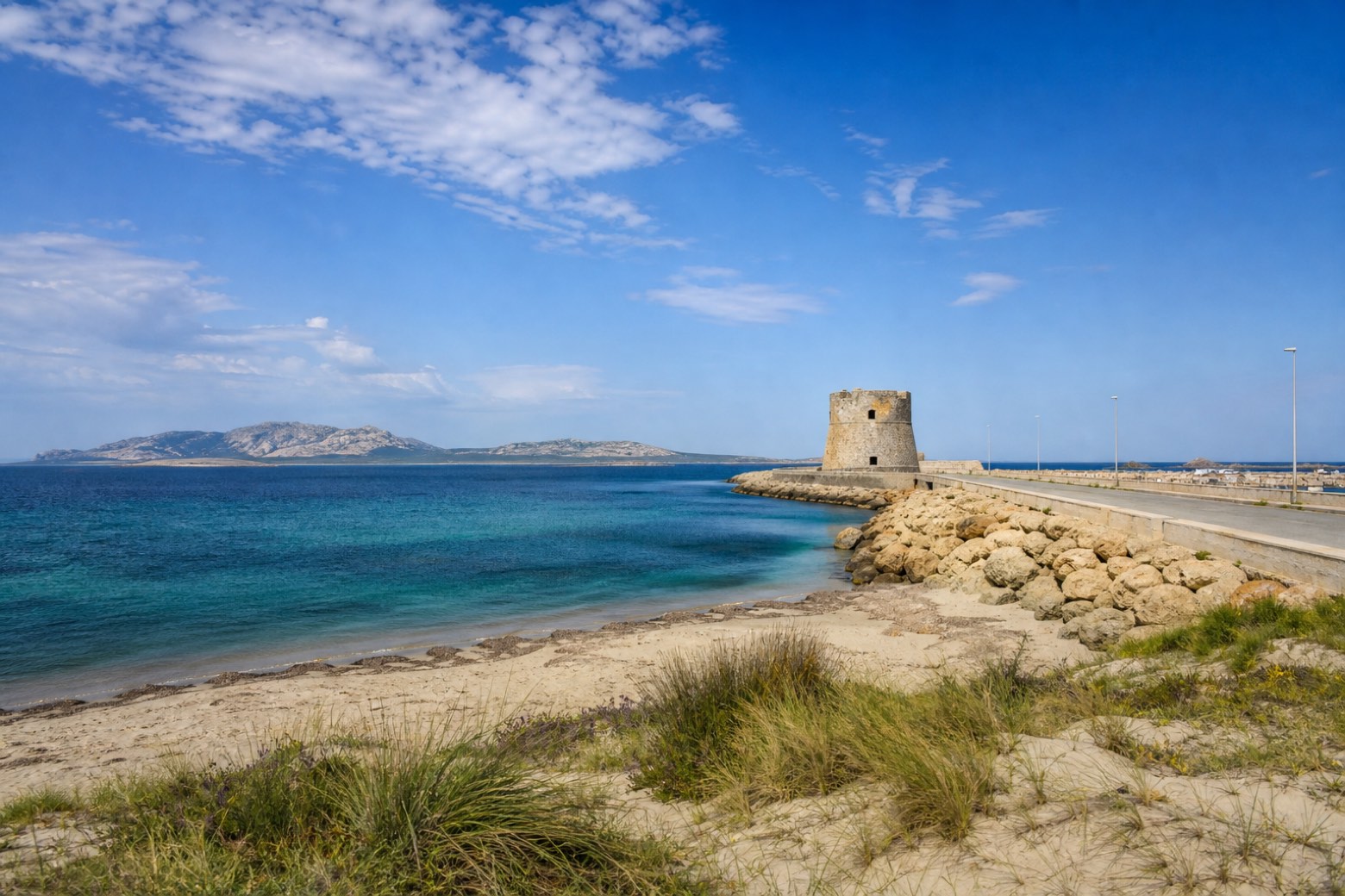 Stage 2
Platamona → Torre delle Saline
challengingDistance30 kmAscent72 mDescent67 m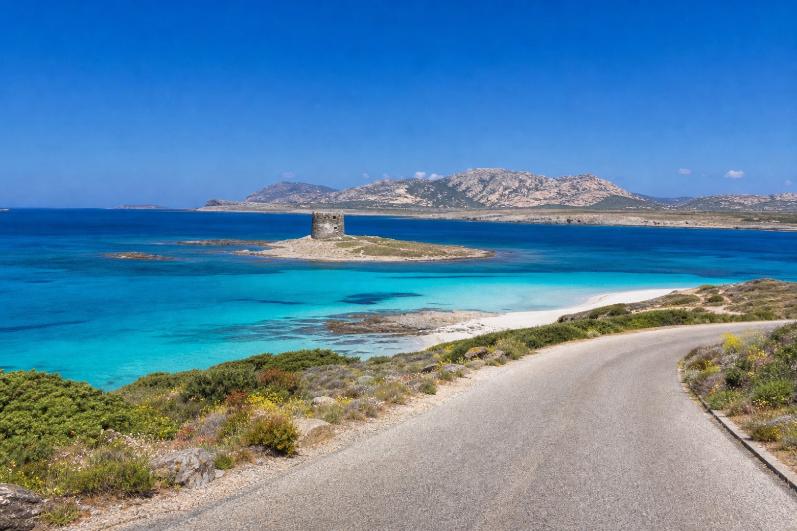 Stage 3Distance15 kmAscent226 mDescent200 m
 Stage 4
Stintino → Biancareddu
moderateDistance22 kmAscent257 mDescent168 m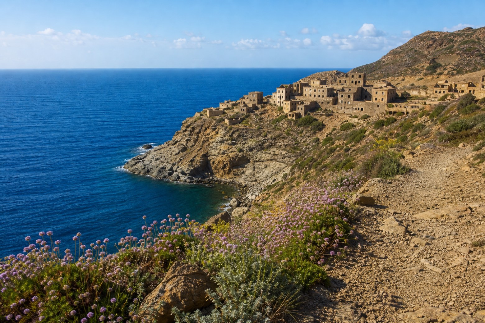 Stage 5Distance13 kmAscent227 mDescent324 m
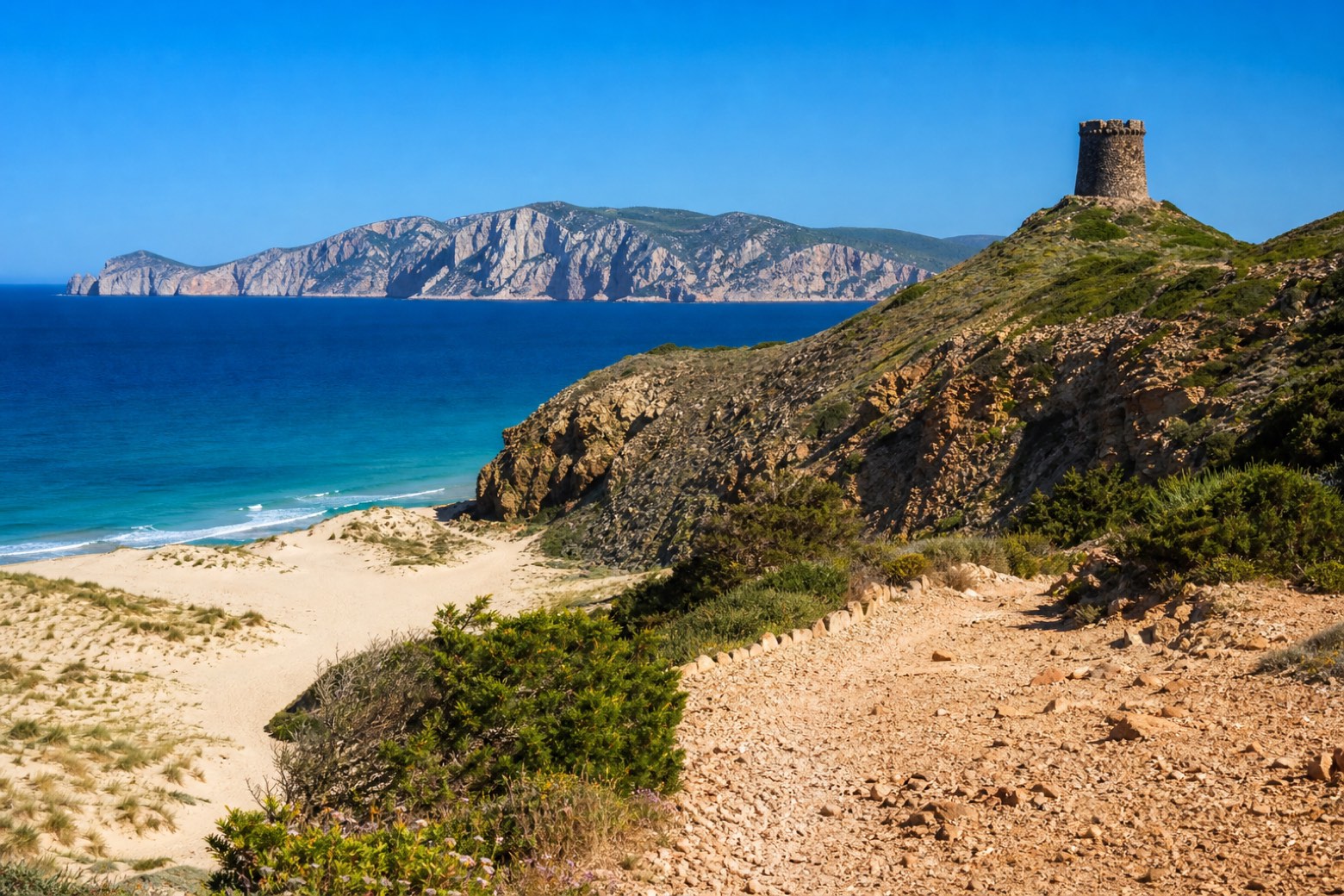 Stage 6
Argentiera → Porticciolo
moderateDistance20 kmAscent475 mDescent491 m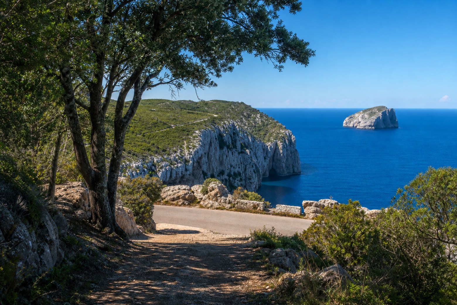 Stage 7
Porticciolo → Maristella
moderateDistance24 kmAscent240 mDescent241 m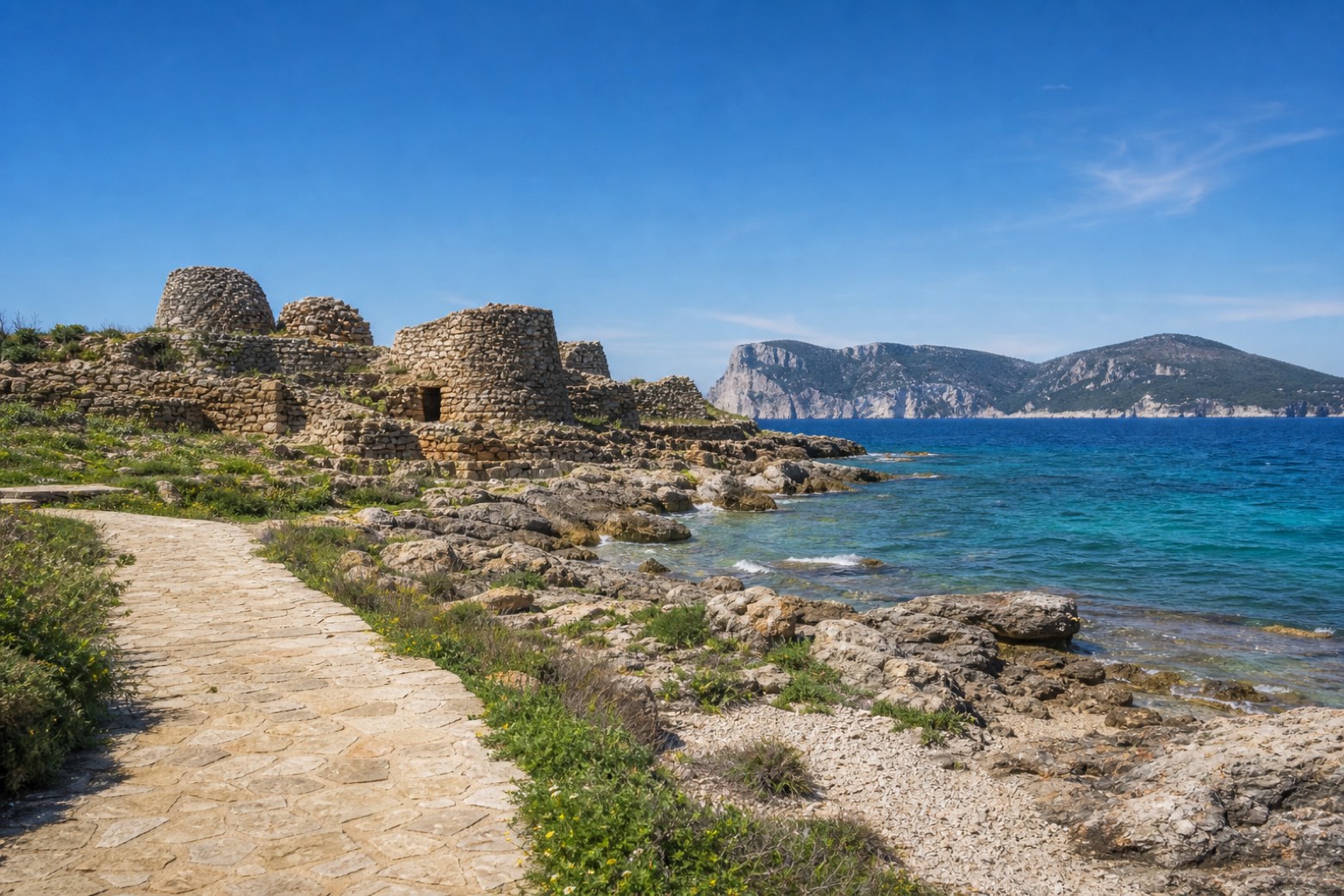 Stage 8
Maristella → Alghero
moderateDistance21 kmAscent177 mDescent175 m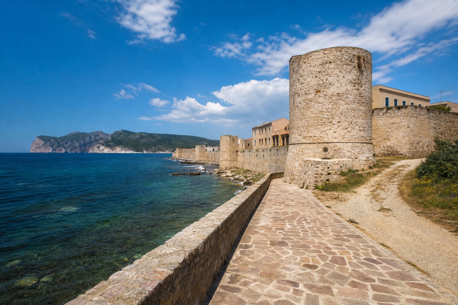 Stage 9
Alghero → Nuraghe Appiu
moderateDistance22 kmAscent647 mDescent199 m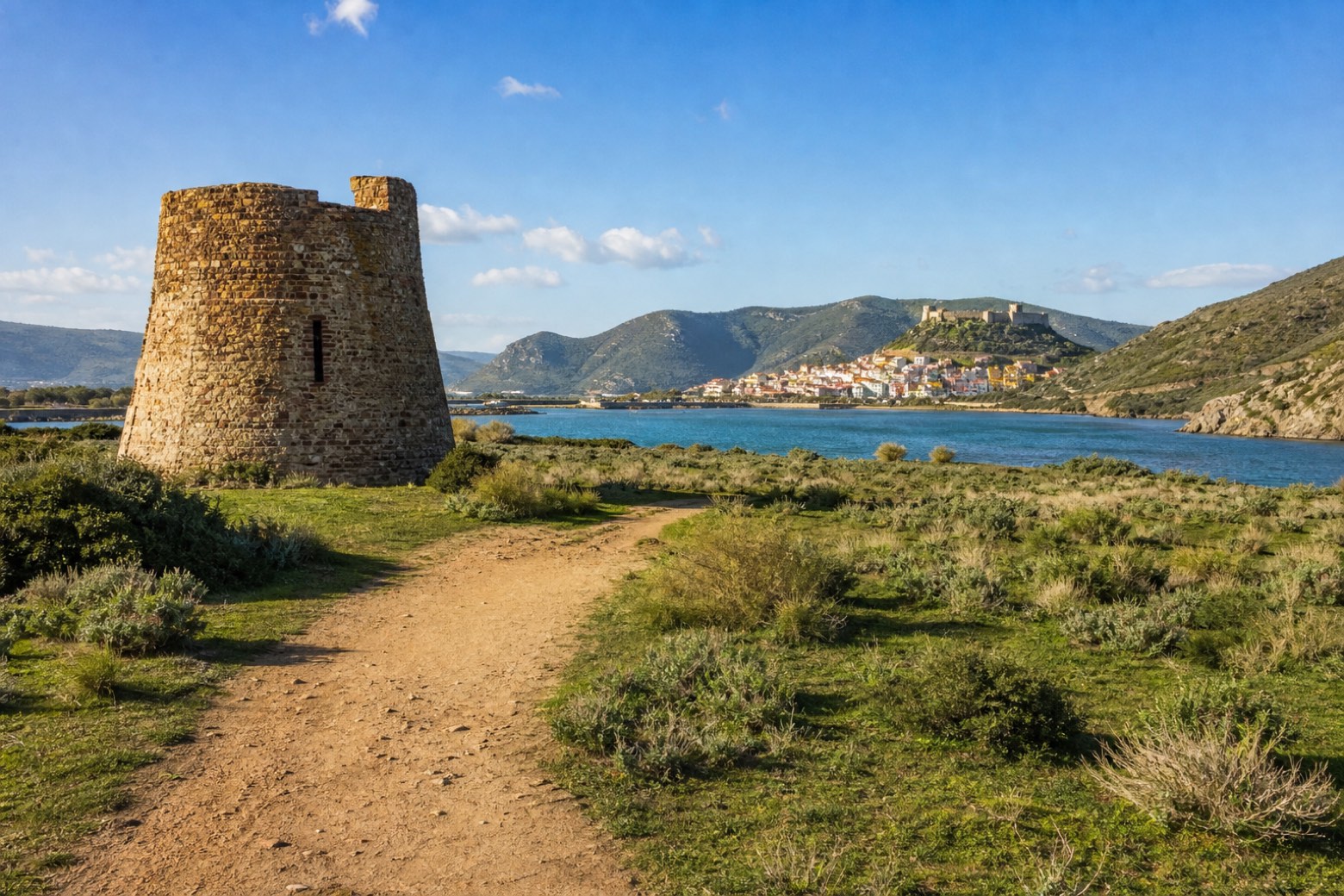 Stage 10
Nuraghe Appiu → Bosa Marina
challengingDistance32 kmAscent323 mDescent754 m
Travel
Find connections for your cammino.
Search trainsMore walks in Italy

Plan your walking trip
How to choose a walking route: stages, days and ascent
Choose a walking route by comparing daily stages, available days, ascent and transport links. Practical planning with examples from the Appy catalogue.
How to plan a walking trip by train and bus
Plan travel to and from your walk: stage endpoints, stations, stops and the connection to the trail. A practical guide to routes and transport with Appy.
Take your walk with you: download Appy
Cammino 100 Torri: Via Catalana. Explore maps, stages and elevation in the app, and plan your train or bus journey.