Porto Taverna → Olbia
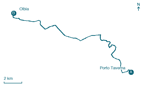
Walking distance 20.8 km
Download Appy for the stage map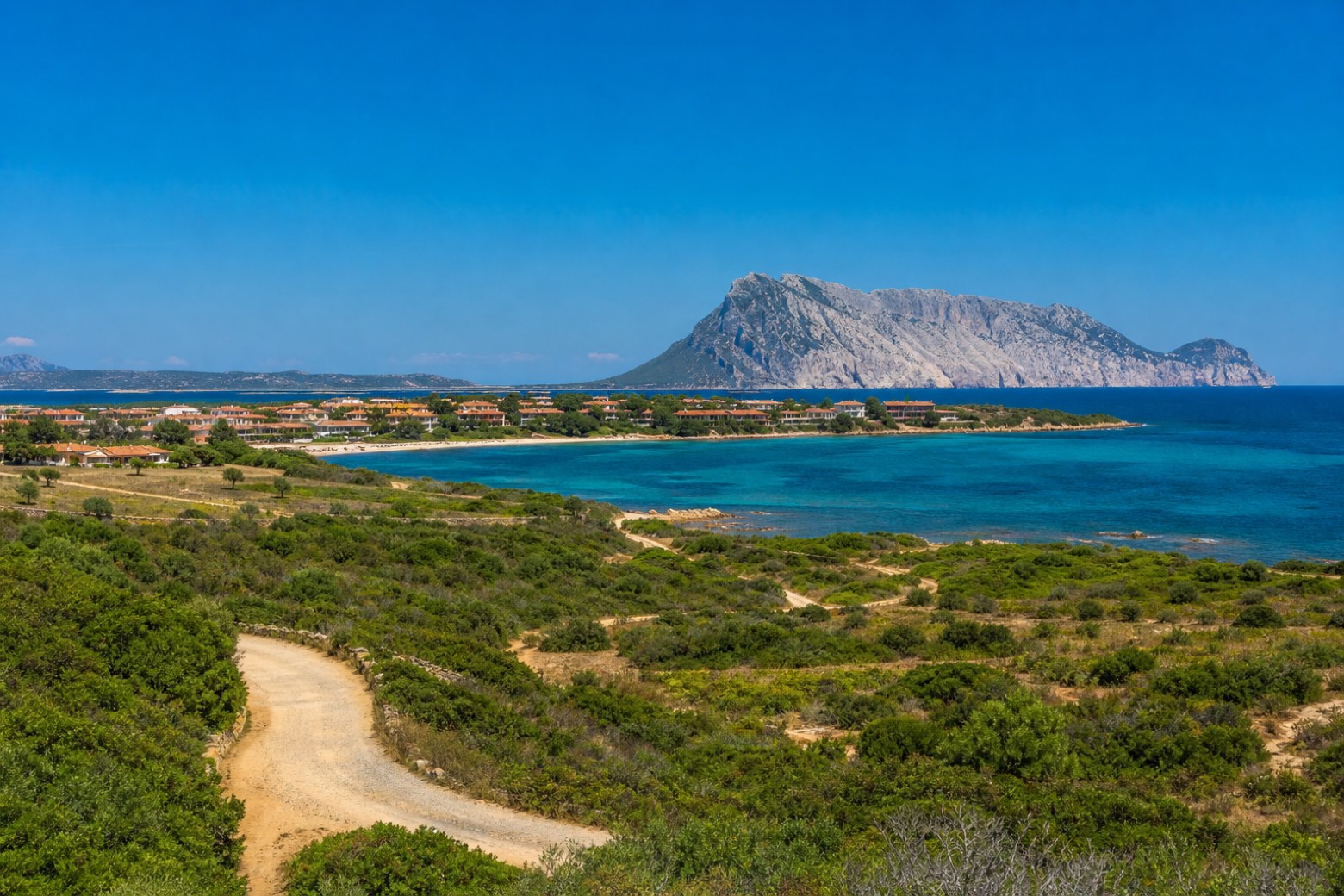
Stage information
- Ascent
- 26 m
- Descent
- 37 m
Difficulty: moderate
Walking the stage
Dirt tracks and minor roads run past Murta Maria, a seaside hamlet on the coast south of Olbia, with Tavolara to the east. The line reaches Olbia, the ring's easiest access point by port and airport, and the largest town on this via.
Before leaving Porto Taverna, locate Stagno di Porto Taverna on the map. It is close to the starting point. On arrival in Olbia, consider a stop at Villa Clorinda, close to the finish.
Look for these places on the stage map: Lu Stangu, Costa Romantica, Murta Maria, and Le Vecchie Saline.
What to see on this stage
History and landmarks
Villa Clorinda
Palace · 600 m from the trail as the crow flies
Residential building with an asymmetric plan (today two new bodies are attached laterally), featuring a vertical development over two floors and an additional level added later above the projecting molded cornice, beyond which rises a crenellated belvedere turret.
Palazzo, privato
Palace · 700 m from the trail as the crow flies
Residential building of rectangular shape, of the palace type, dating back to the early 1900s.
Nature and landscape
Stagno di Porto Taverna
Lake · 200 m from the trail as the crow flies
Gelso nero di Via Siena 5, Olbia
Monumental tree · 700 m from the trail as the crow flies
Italy’s monumental tree register identifies this specimen as Morus nigra L. It records a height of 8 m and a trunk circumference of 450 cm.
Map · Porto Taverna → Olbia
Take your walk with you: download Appy
Cammino 100 Torri: Via Gallura: Porto Taverna → Olbia. Explore maps, stages and elevation in the app, and plan your train or bus journey.

