
Sentiero dell'Inglese
Calabria, Italy
Italy · Pentedattilo, Italy → Staiti, Italy
Distance
102 km
Stages
7
Difficulty
moderate
Best months
Apr-Jun, Sep-Oct
About
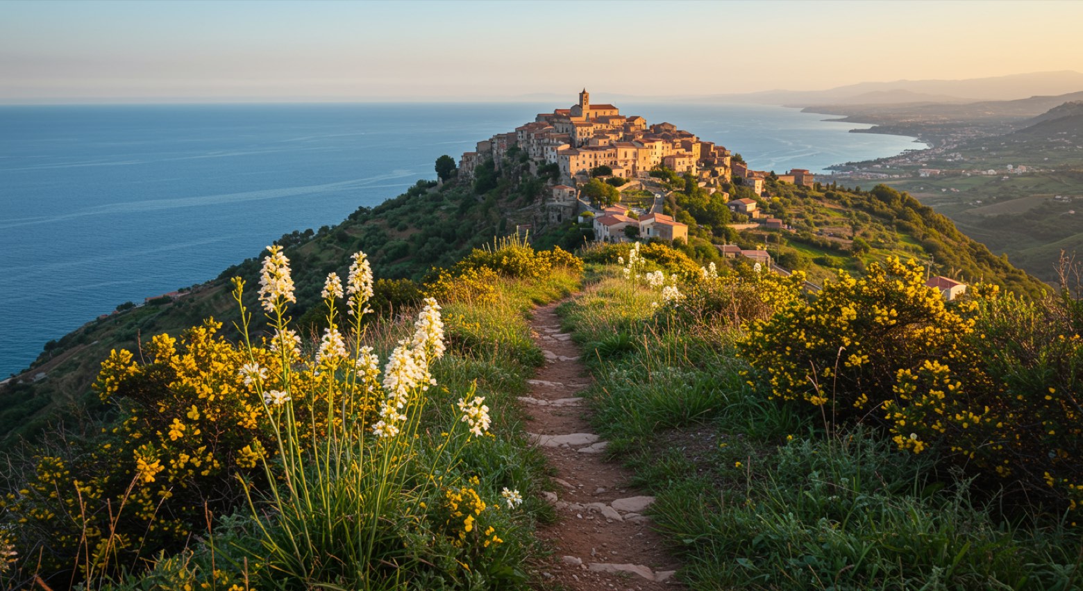
The Sentiero dell'Inglese is a 100 km cultural walk tracing Edward Lear's 1847 journey through the rugged Aspromonte mountains. Starting in Pentedattilo, its stone facades echoing history, it winds through ancient Greek-speaking communities, ending in Staiti, where tradition breathes.
Seven stages, 6,292 m of elevation gain: this is no stroll. It’s an immersion in rocky paths and lush valleys, where every turn reveals art and nature entwined.
Best in spring and autumn, the trail invites those seeking more than just a hike; it offers a connection to a landscape in stories.
Stages
7 stages
 Stage 1
Pentedattilo → Bagaladi
moderateDistance18 kmAscent895 mDescent712 m Stage 2
Bagaladi → Amendolea
moderateDistance17 kmAscent672 mDescent1008 m Stage 3
Amendolea → Bova
challengingDistance15 kmAscent1374 mDescent736 m Stage 4
Bova → Bova
challengingDistance19 kmAscent1771 mDescent1764 m Stage 5
Bova → Palizzi
moderateDistance12 kmAscent712 mDescent1207 m Stage 6Distance12 kmAscent312 mDescent277 m
 Stage 7
Pietrapennata → Staiti
moderateDistance9 kmAscent556 mDescent712 m
Points of interest
Travel
Find connections for your cammino.
Search trainsMore walks in Italy



Plan your walking trip
How to choose a walking route: stages, days and ascent
Choose a walking route by comparing daily stages, available days, ascent and transport links. Practical planning with examples from the Appy catalogue.
How to plan a walking trip by train and bus
Plan travel to and from your walk: stage endpoints, stations, stops and the connection to the trail. A practical guide to routes and transport with Appy.
Take your walk with you: download Appy
Sentiero dell'Inglese. Explore maps, stages and elevation in the app, and plan your train or bus journey.