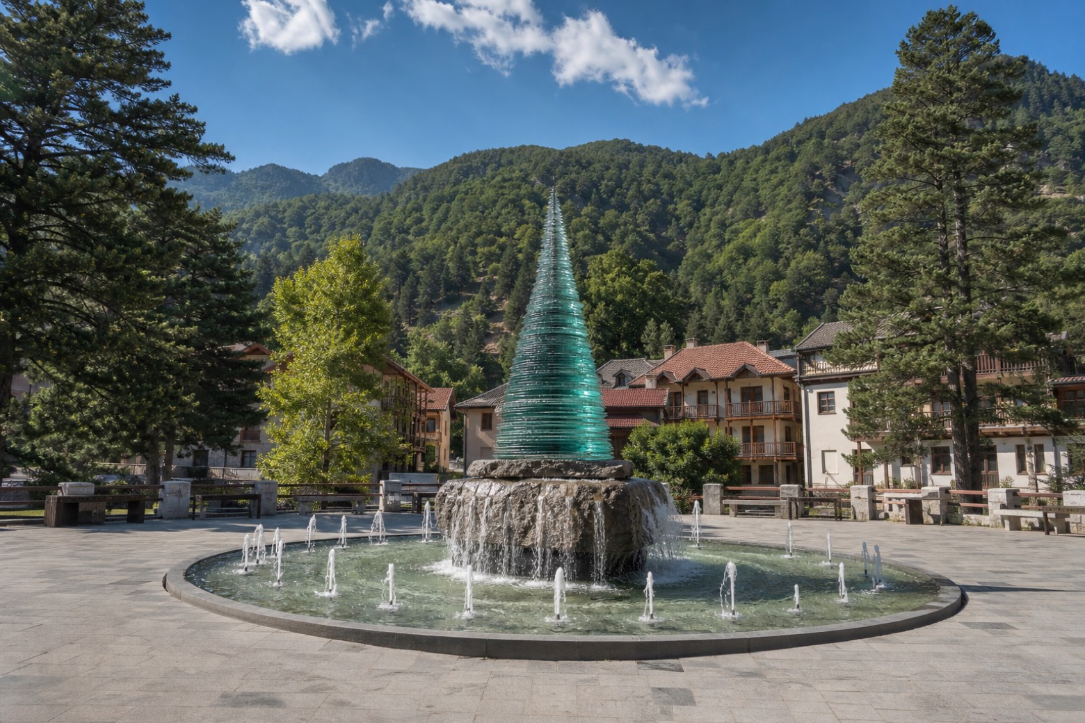
Sentiero del Brigante
Calabria, Italy
Italy · Stilo
Distance
116 km
Stages
7
Difficulty
moderate
Best months
Apr-Jun, Sep-Oct
About
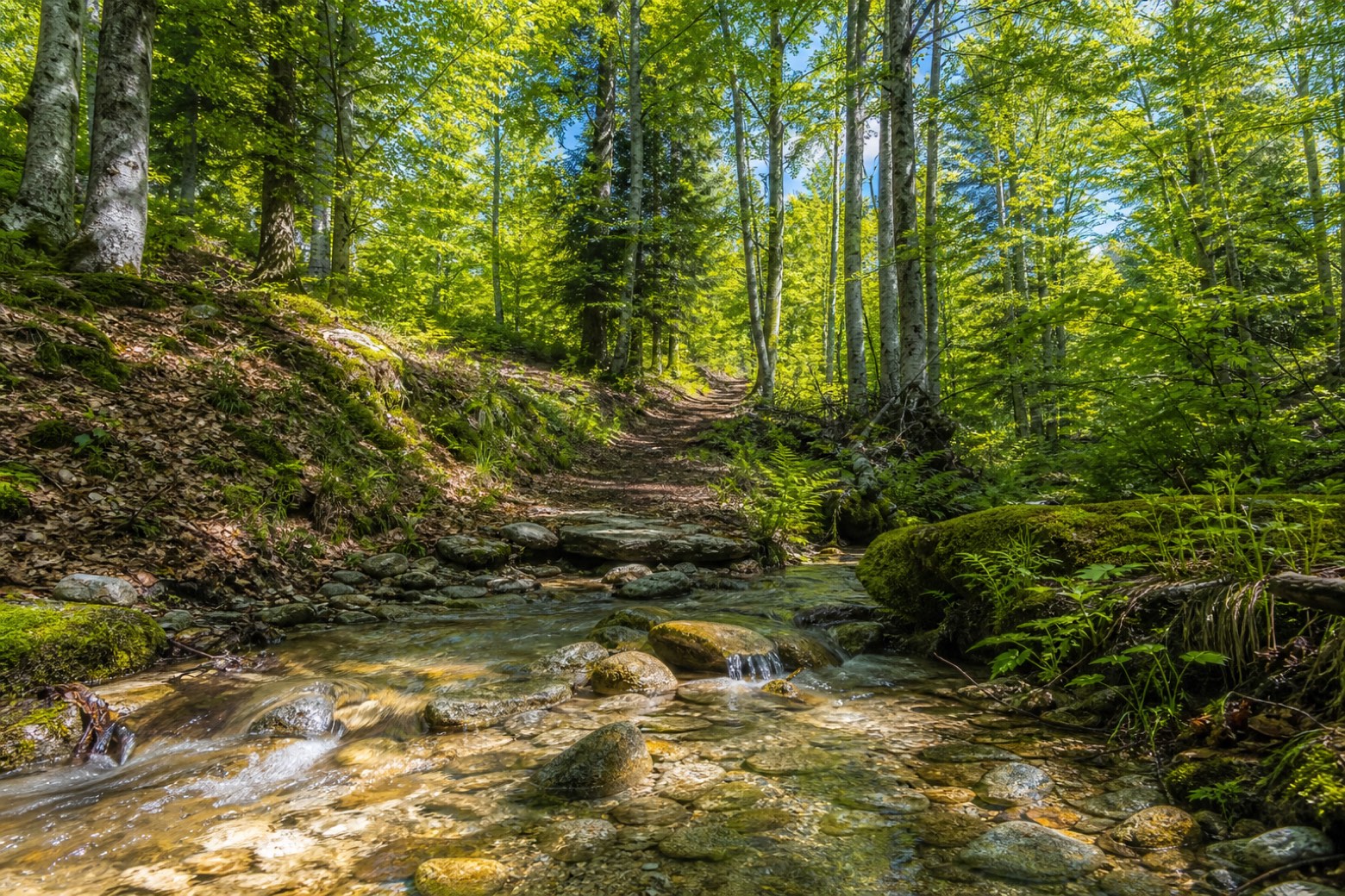
The Sentiero del Brigante runs along the high ridge of southern Calabria, from Gambarie in the Aspromonte National Park to Stilo in the Serre Regional Park, in seven stages. You walk between about 800 and 1,500 metres for most of the way, through beech and fir forest, past the old Zervò sanatorium, the Trepitò woods and Lake Zomaro, then over the Limina pass into the Serre.
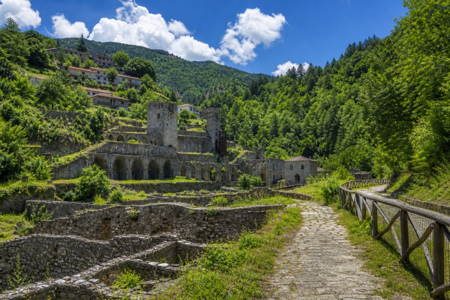
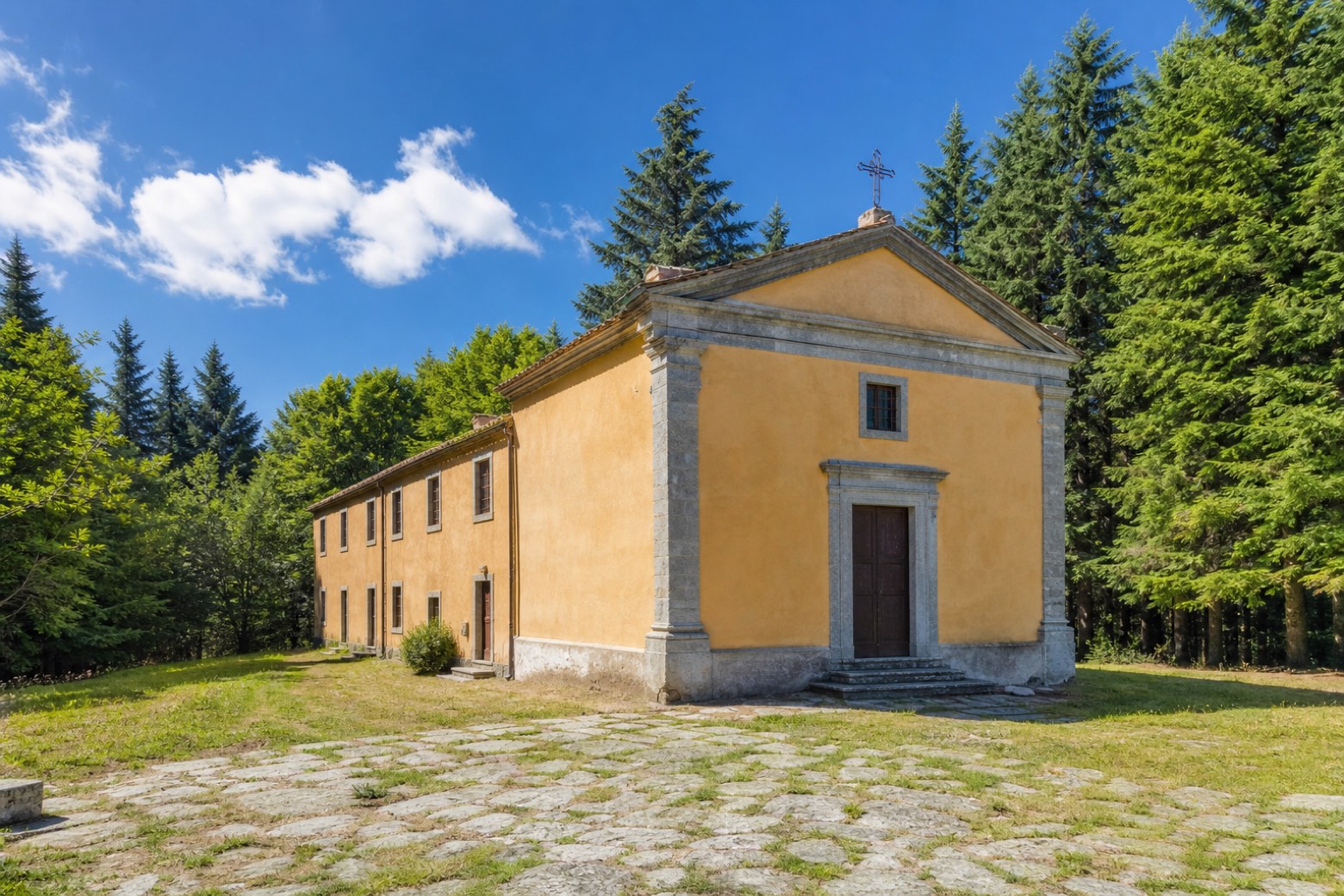
The last stage drops past the Bourbon ironworks of Mongiana and Ferdinandea to Stilo and its Byzantine Cattolica, with an alternative ending at the Charterhouse of Serra San Bruno. It is looked after by the GEA hiking group with the two parks.
Stages
7 stages
- Stage 1
Gambarie → Piani di Carmelia
moderate- Distance
- 15 km
- Ascent
- 386 m
- Descent
- 383 m
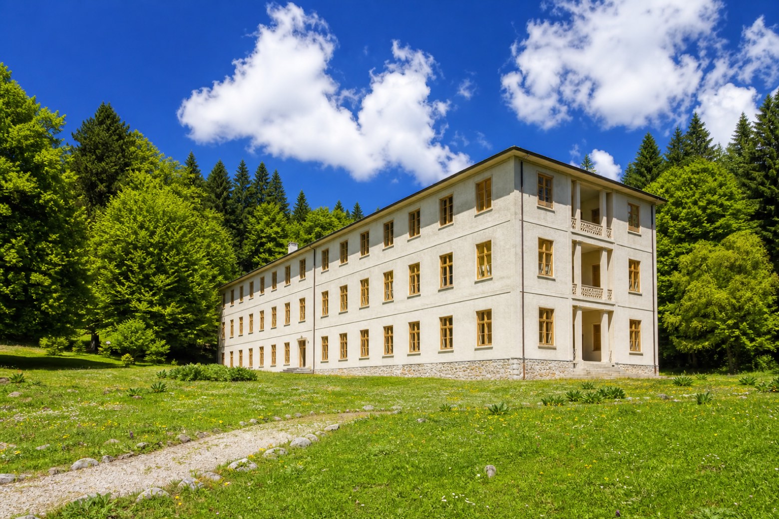 Stage 2
- Distance
- 12 km
- Ascent
- 279 m
- Descent
- 447 m
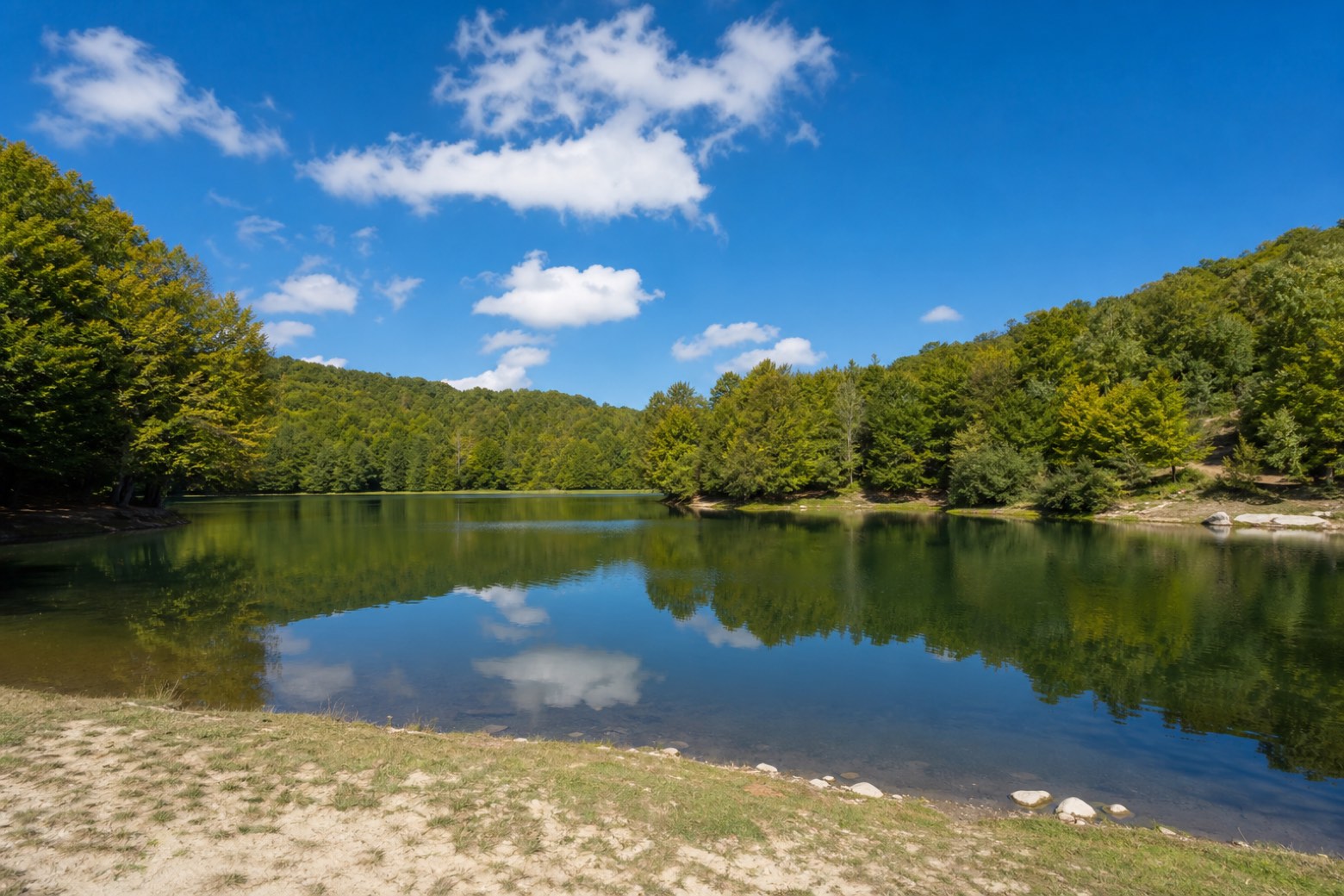 Stage 3
Zervò → Passo del Mercante
moderate- Distance
- 24 km
- Ascent
- 293 m
- Descent
- 500 m
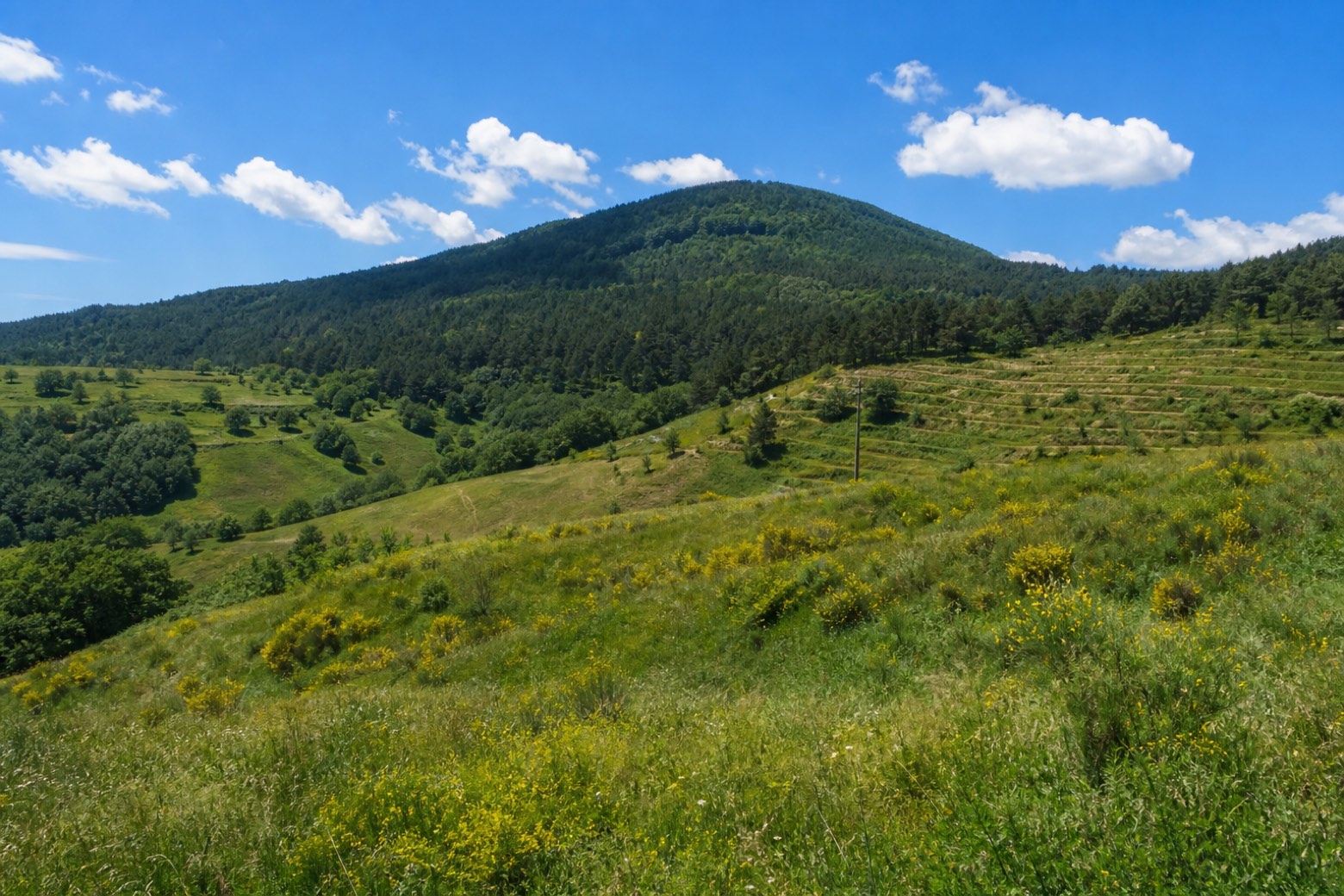 Stage 4
- Distance
- 12 km
- Ascent
- 93 m
- Descent
- 247 m
 Stage 5
- Distance
- 17 km
- Ascent
- 532 m
- Descent
- 228 m
 Stage 6
- Distance
- 14 km
- Ascent
- 169 m
- Descent
- 375 m
 Stage 7
Mongiana → Bivongi
moderate- Distance
- 21 km
- Ascent
- 421 m
- Descent
- 1069 m
Travel
Find connections for your cammino.
Search trainsMore walks in Italy
Plan your walking trip
How to choose a walking route: stages, days and ascent
Choose a walking route by comparing daily stages, available days, ascent and transport links. Practical planning with examples from the Appy catalogue.
How to plan a walking trip by train and bus
Plan travel to and from your walk: stage endpoints, stations, stops and the connection to the trail. A practical guide to routes and transport with Appy.
Take your walk with you: download Appy
Sentiero del Brigante. Explore maps, stages and elevation in the app, and plan your train or bus journey.