Bagaladi → Amendolea
Walking distance 16.9 km
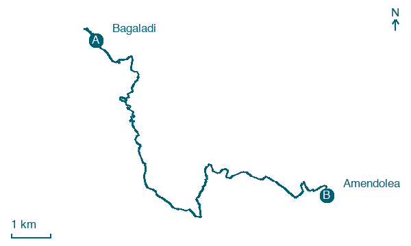
Download Appy for the stage map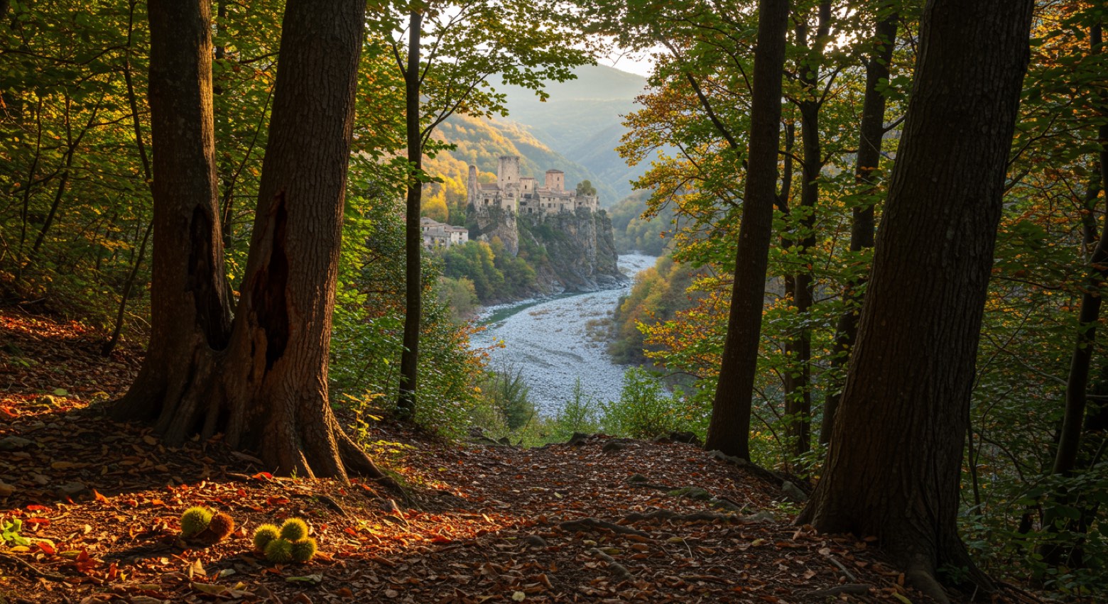
Stage information
- Ascent
- 672 m
- Descent
- 1008 m
Difficulty: moderate
Walking the stage
Descend from Bagaladi into the wild Fiumara Amendolea valley to the Norman castle ruins of Amendolea.
On arrival in Amendolea, consider a stop at Castello Ruffo di Amendolea, close to the finish.
Look for these places on the stage map: San Lorenzo, San Pantaleone, Grotta, and Carcara.
What to see on this stage
History and landmarks
Castello Ruffo di Amendolea
Castle · 600 m from the trail as the crow flies
Chiesa San Sebastiano
Church · 1.1 km from the trail as the crow flies
Nature and landscape
Olmo campestre di Piazza Regina Margherita, San Lorenzo
Monumental tree · < 100 m from the trail as the crow flies
Italy’s monumental tree register identifies this specimen as Ulmus minor Mill. It records a height of 10 m and a trunk circumference of 510 cm.
Map · Bagaladi → Amendolea
Take your walk with you: download Appy
Sentiero dell'Inglese: Bagaladi → Amendolea. Explore maps, stages and elevation in the app, and plan your train or bus journey.

