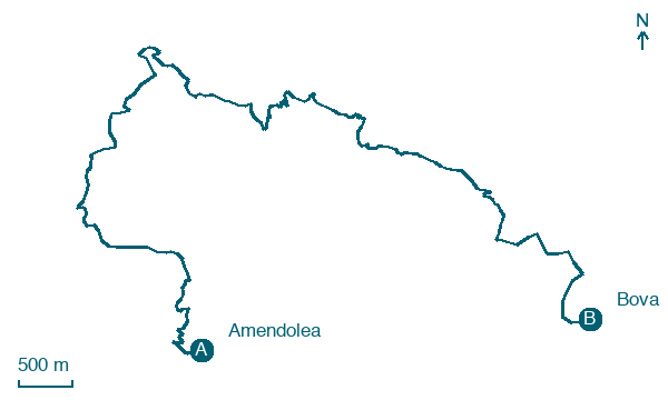
Amendolea → Bova
Walking distance 14.9 km
Download Appy for the stage map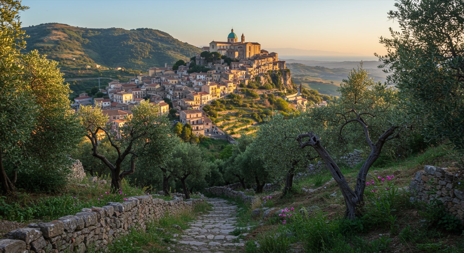
Stage information
- Ascent
- 1374 m
- Descent
- 736 m
Difficulty: challenging
Walking the stage
Climb from the Amendolea riverbed to Gallicianò, the Greek-speaking village, then on to Bova, the cultural capital of the Greeks of Calabria.
On arrival in Bova, consider a stop at Co-Cathedral of the Presentation of the Blessed Virgin Mary, close to the finish.
Look for these places on the stage map: Mangani, Vucida, and Gallicianò.
What to see on this stage
History and landmarks
Museo civico di paleontologia e scienze naturali dell'Aspromonte
Museum · < 100 m from the trail as the crow flies
Co-Cathedral of the Presentation of the Blessed Virgin Mary
Cathedral · 100 m from the trail as the crow flies
Nature and landscape
Pioppo nero di Gallicianò, Condofuri
Monumental tree · 200 m from the trail as the crow flies
Italy’s monumental tree register identifies this specimen as Populus nigra L. It records a height of 30 m and a trunk circumference of 530 cm.
Map · Amendolea → Bova
Take your walk with you: download Appy
Sentiero dell'Inglese: Amendolea → Bova. Explore maps, stages and elevation in the app, and plan your train or bus journey.

