Cammino Mariano Pollino
Calabria, Italy
Italy
Distance
117 km
Stages
3
Difficulty
challenging
Best months
Apr-Jun, Sep-Oct
About
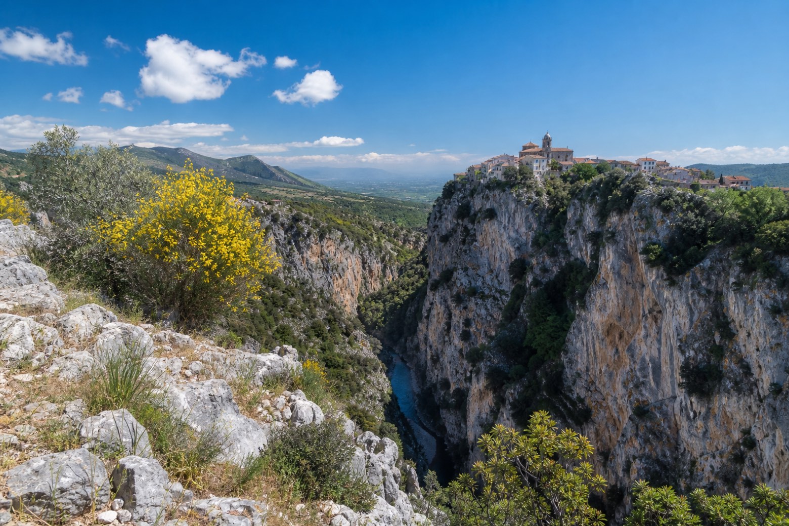
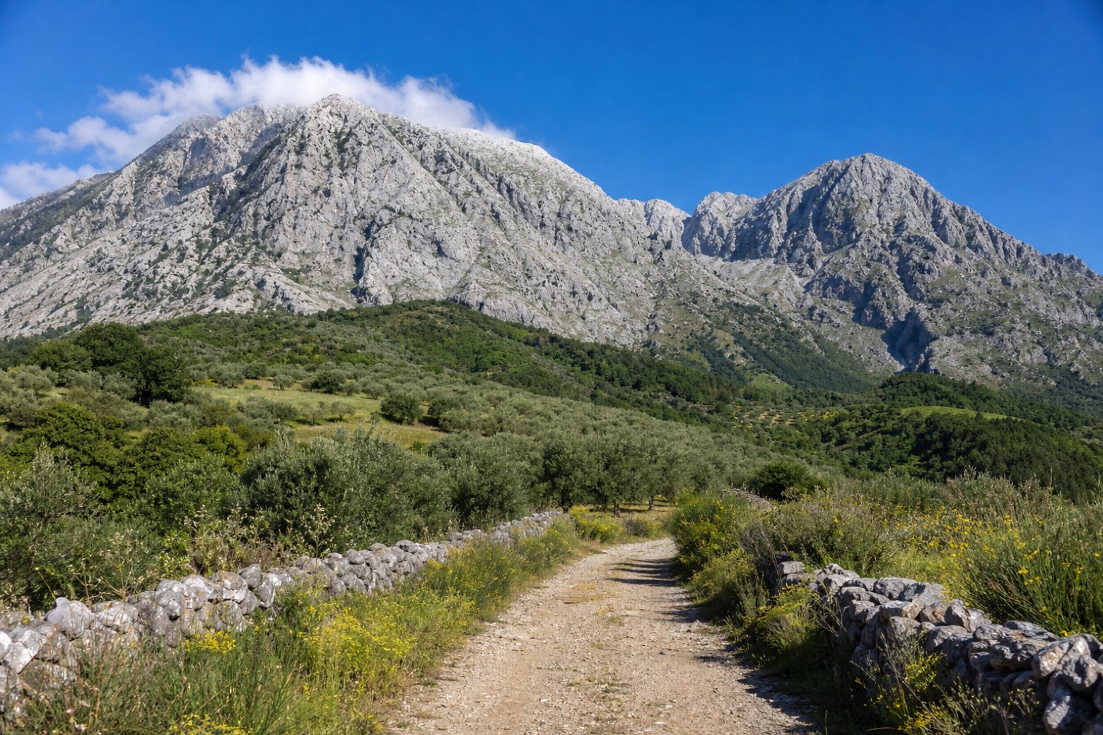
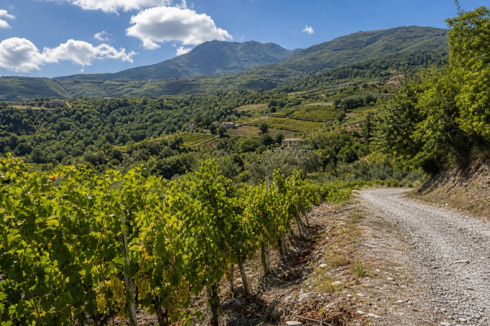
The Cammino Mariano Pollino crosses the Calabrian side of the Pollino National Park, a UNESCO Global Geopark, in three official trails. You start in Alessandria del Carretto, at 975 metres the highest village in the area, and walk past the Sanctuary of the Madonna delle Armi to Civita, an Arbëreshë village at the mouth of the Raganello canyon. Then you head below the great peaks of the Pollino to Frascineto, Castrovillari and Morano Calabro, and finish through the Malvasia vineyards and the villages of the Greek-Byzantine eparchy of Lungro, up to the Madonna del Monte at 1,426 metres and down to Acquaformosa.
Stages
3 stages
- Stage 1
Alessandria del Carretto → Civita
challenging- Distance
- 50 km
- Ascent
- 1450 m
- Descent
- 2032 m
 Stage 2
Civita → Morano Calabro
challenging- Distance
- 28 km
- Ascent
- 463 m
- Descent
- 313 m
 Stage 3
Morano Calabro → Acquaformosa
challenging- Distance
- 39 km
- Ascent
- 1581 m
- Descent
- 1397 m
Travel
Find connections for your cammino.
Search trainsMore walks in Italy
Plan your walking trip
How to choose a walking route: stages, days and ascent
Choose a walking route by comparing daily stages, available days, ascent and transport links. Practical planning with examples from the Appy catalogue.
How to plan a walking trip by train and bus
Plan travel to and from your walk: stage endpoints, stations, stops and the connection to the trail. A practical guide to routes and transport with Appy.
Take your walk with you: download Appy
Cammino Mariano Pollino. Explore maps, stages and elevation in the app, and plan your train or bus journey.