Palizzi → Pietrapennata
Walking distance 8 km
Download Appy for the stage map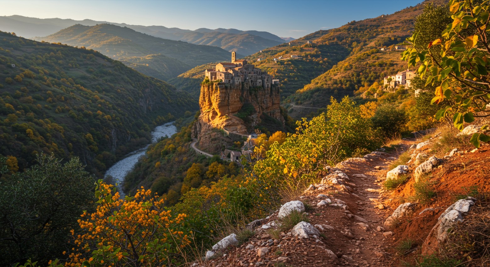
Stage information
- Ascent
- 411 m
- Descent
- 42 m
Difficulty: easy
Walking the stage
Climb from Palizzi through chestnut forest past the white clay gullies to Pietrapennata.
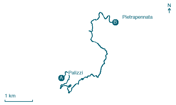
Before leaving Palizzi, locate Castello di Palizzi on the map. It is close to the starting point. On arrival in Pietrapennata, consider a stop at Pietrapennata, close to the finish.
Look for these places on the stage map: Staiti.
What to see on this stage
History and landmarks
Pietrapennata
< 100 m from the trail as the crow flies
The ancient village of Pietrapennata consists of an urban layout that adapts to the terrain's configuration. The slope of the urbanized area is noticeable but not very steep.
Castello di Palizzi
Tower · < 100 m from the trail as the crow flies
Map · Palizzi → Pietrapennata
Take your walk with you: download Appy
Sentiero dell'Inglese: Palizzi → Pietrapennata. Explore maps, stages and elevation in the app, and plan your train or bus journey.

