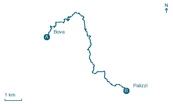
Bova → Palizzi
Walking distance 12.4 km
Download Appy for the stage map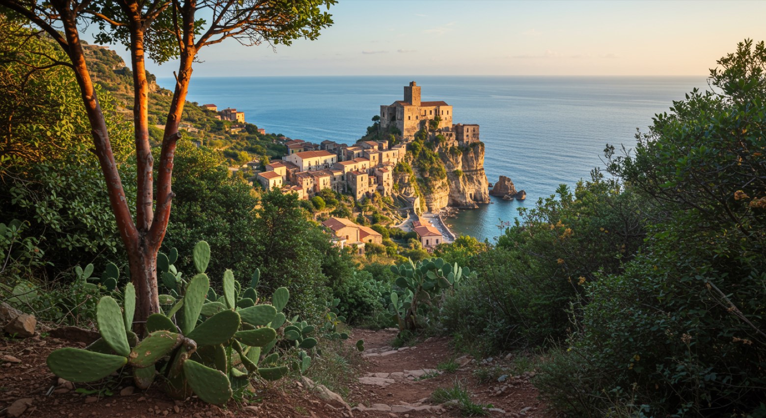
Stage information
- Ascent
- 712 m
- Descent
- 1207 m
Difficulty: moderate
Walking the stage
Descend from the Greek capital Bova through Mediterranean scrub to the castle town of Palizzi.
Before leaving Bova, locate Vua on the map. It is close to the starting point. On arrival in Palizzi, consider a stop at Castello di Palizzi, close to the finish.
Look for these places on the stage map: Cavàddhu.
What to see on this stage
History and landmarks
Vua
200 m from the trail as the crow flies
The village follows the terrain's orography and is characterized by the presence of narrow alleys.
Castello di Palizzi
Tower · < 100 m from the trail as the crow flies
Map · Bova → Palizzi
Take your walk with you: download Appy
Sentiero dell'Inglese: Bova → Palizzi. Explore maps, stages and elevation in the app, and plan your train or bus journey.

