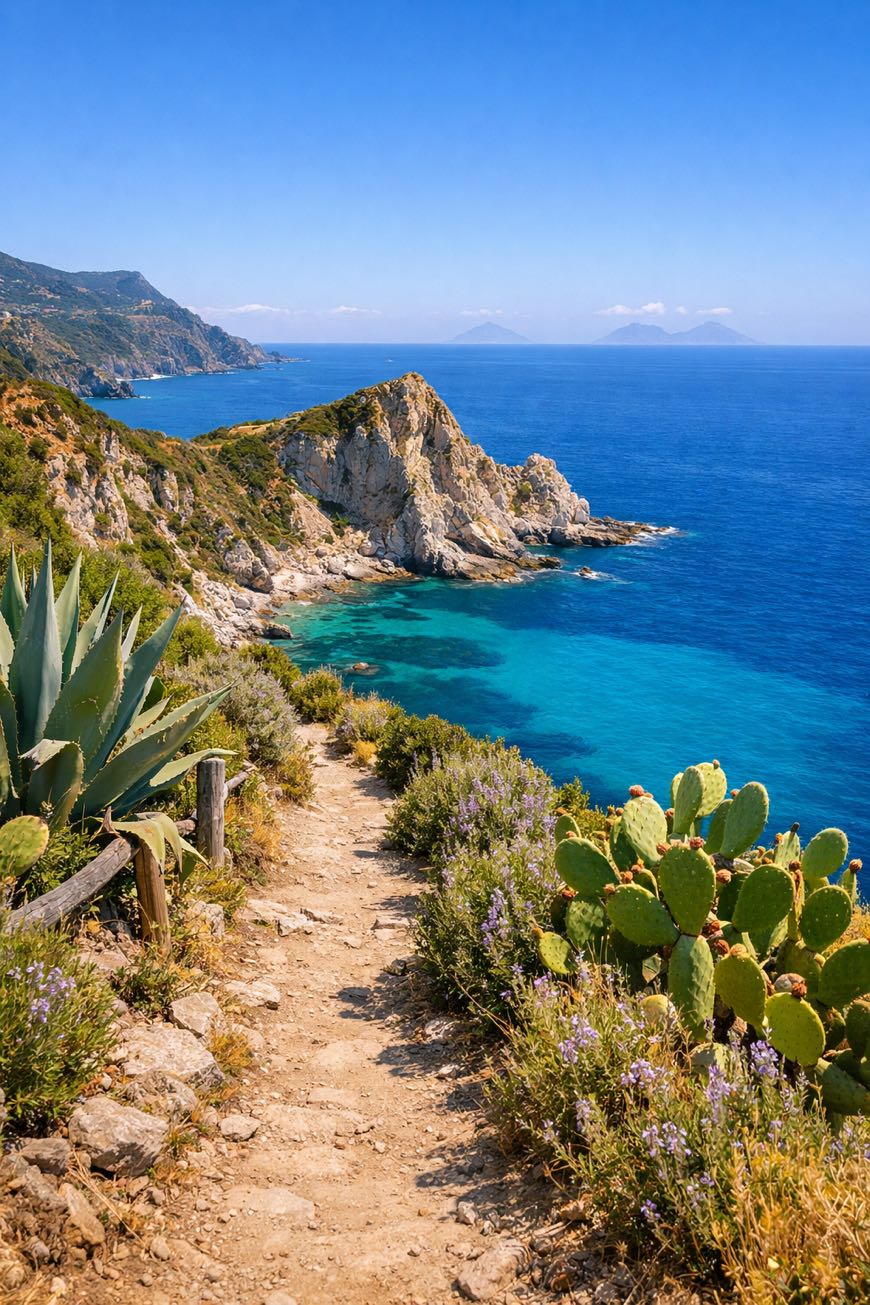
Cammino del Normanno
Calabria, Italy
Italy · Capo Vaticano, Italy → Monasterace, Italy
Distance
141 km
Stages
8
Difficulty
moderate
Best months
Apr-Jun, Sep-Oct
Cammino del Normanno · Stages and distances
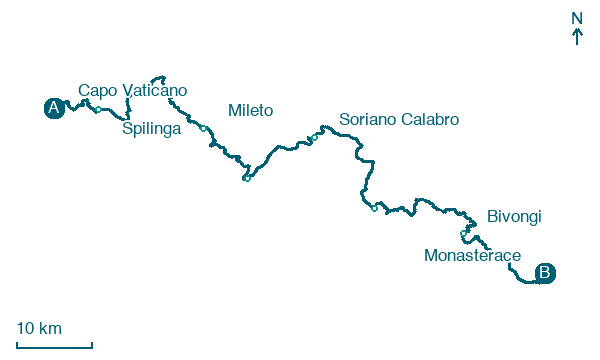
Walking distances for Appy’s stages (8)
| Stage | km |
|---|---|
| 1. Capo Vaticano → Spilinga | 11.5 |
| 2. Spilinga → Zungri | 11.8 |
| 3. Zungri → Mileto | 15.3 |
| 4. Mileto → Dinami | 15.4 |
| 5. Dinami → Soriano Calabro | 14.7 |
| 6. Soriano Calabro → Mongiana | 23.1 |
| 7. Mongiana → Bivongi | 30.6 |
| 8. Bivongi → Monasterace | 18.9 |
| Total | 141.3 |
About
A 140 km cultural walk through Calabria. From Capo Vaticano's cliffs to Monasterace's shores, the Cammino del Normanno traces Count Roger II's legacy, Norman castles and the Carthusian monastery of Serra San Bruno stand as silent witnesses.
Eight stages, 6,979 m of elevation gain, and a diverse terrain that shifts from coastal paths to rugged mountains. Breathe in the scent of wild rosemary as you traverse charming towns like Ricadi and Gerocarne.
This isn’t just a walk; it’s a journey through history, culture, and the soul of a region that whispers its stories in every step.
Stages
8 stages
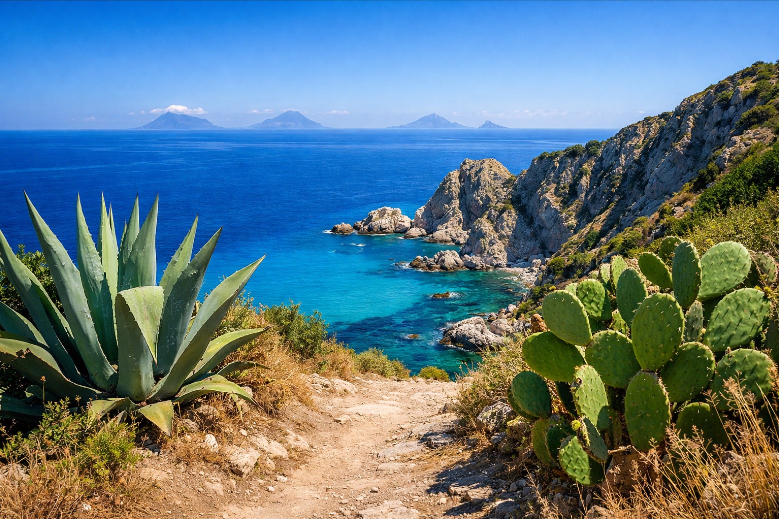 Stage 1
Capo Vaticano → Spilinga
moderate- Distance
- 12 km
- Ascent
- 711 m
- Descent
- 352 m
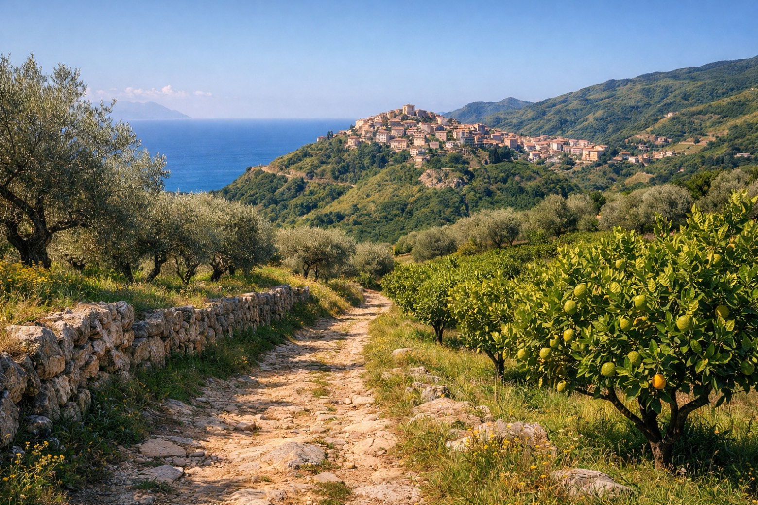 Stage 2
- Distance
- 12 km
- Ascent
- 301 m
- Descent
- 202 m
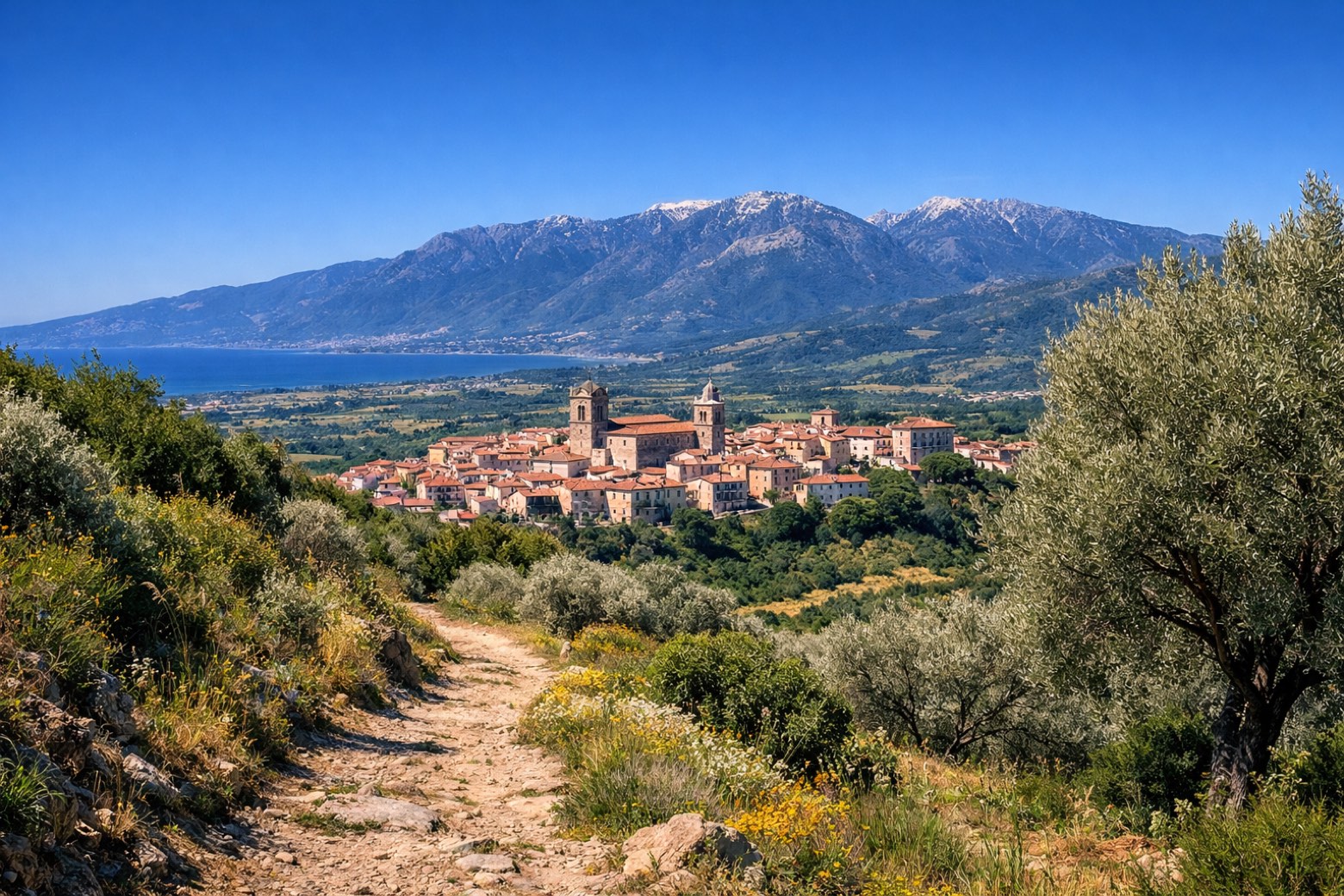 Stage 3
Zungri → Mileto
moderate- Distance
- 15 km
- Ascent
- 563 m
- Descent
- 731 m
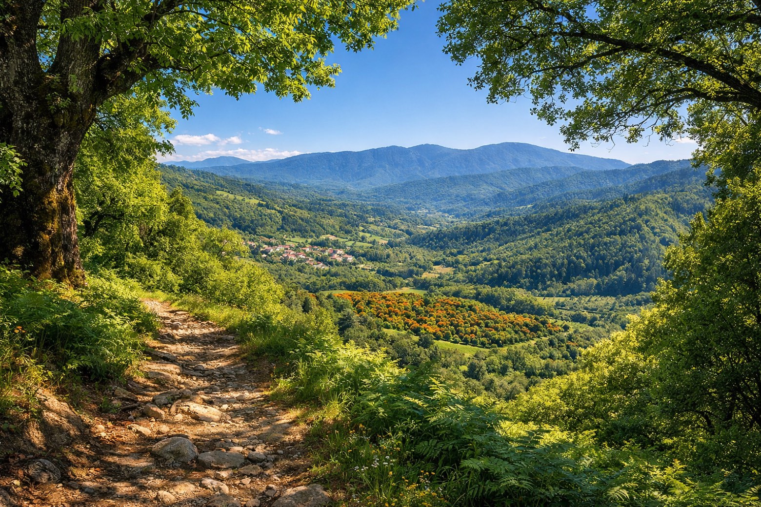 Stage 4
Mileto → Dinami
moderate- Distance
- 15 km
- Ascent
- 757 m
- Descent
- 1023 m
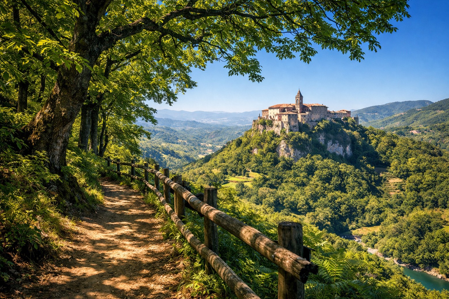 Stage 5
Dinami → Soriano Calabro
moderate- Distance
- 15 km
- Ascent
- 574 m
- Descent
- 402 m
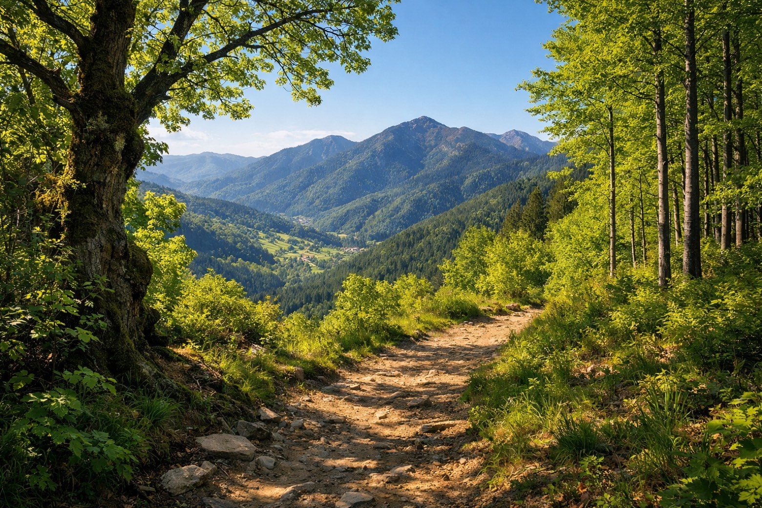 Stage 6
Soriano Calabro → Mongiana
challenging- Distance
- 23 km
- Ascent
- 1455 m
- Descent
- 810 m
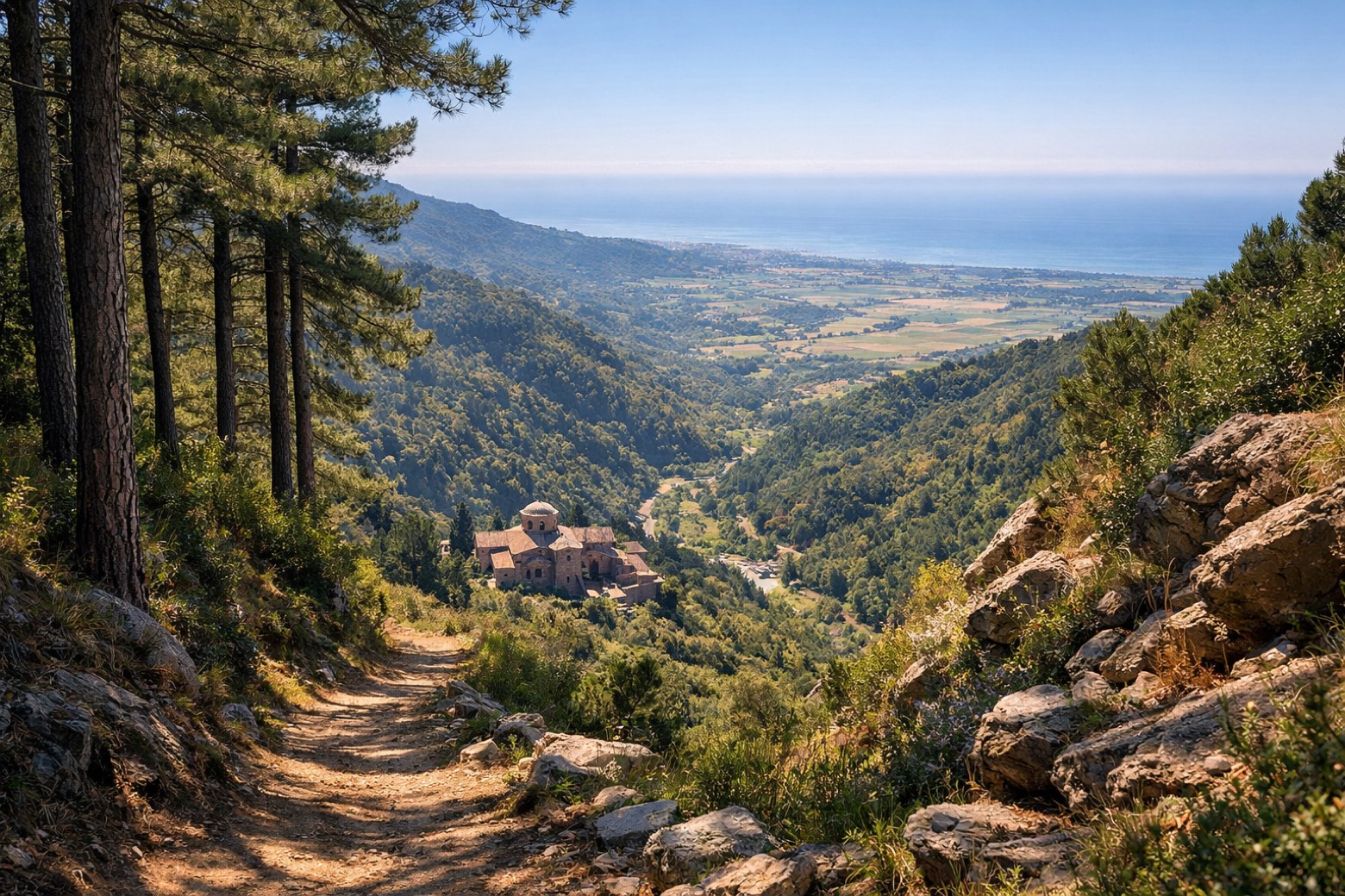 Stage 7
Mongiana → Bivongi
challenging- Distance
- 31 km
- Ascent
- 2020 m
- Descent
- 2666 m
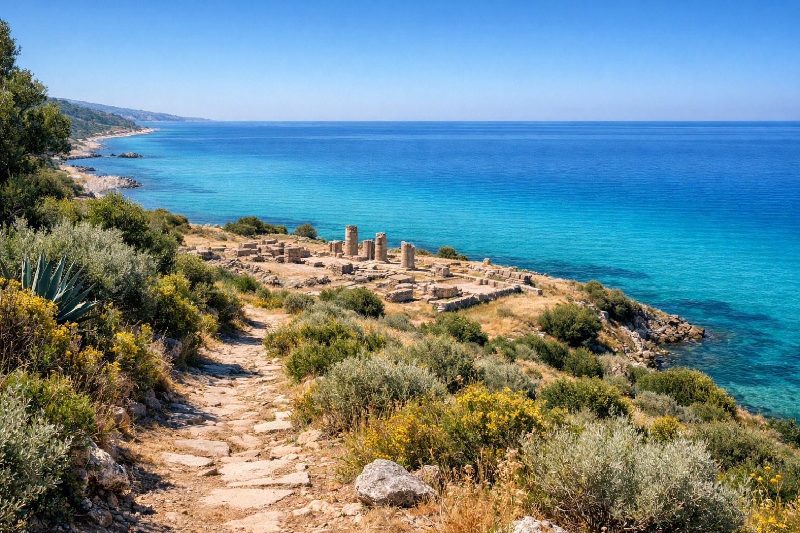 Stage 8
Bivongi → Monasterace
moderate- Distance
- 19 km
- Ascent
- 598 m
- Descent
- 856 m
Travel
Find connections for your cammino.
Search trainsMore walks in Italy
Plan your walking trip
All articles and guidesHow to choose a walking route: stages, days and ascent
How many days can you actually spend walking? Start there, then choose stages that leave you time to stop along the way.
How to plan a walking trip by train and bus
Two different stations, a last bus and a backpack. Fit the journeys out and home around the days you want to spend walking.
Take your walk with you: download Appy
Cammino del Normanno. Explore maps, stages and elevation in the app, and plan your train or bus journey.

