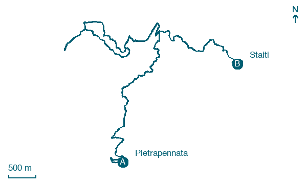
Pietrapennata → Staiti
Walking distance 13.1 km
Download Appy for the stage map
Stage information
- Ascent
- 339 m
- Descent
- 433 m
Difficulty: moderate
Walking the stage
Final stage from the Knights of Malta hamlet of Pietrapennata to Staiti and the Byzantine church of Santa Maria dei Tridetti.
Before leaving Pietrapennata, locate Pietrapennata on the map. It is close to the starting point.
What to see on this stage
History and landmarks
Pietrapennata
< 100 m from the trail as the crow flies
The ancient village of Pietrapennata consists of an urban layout that adapts to the terrain's configuration. The slope of the urbanized area is noticeable but not very steep.
Santa Maria dei Tridetti
Church · 1.8 km from the trail as the crow flies
Map · Pietrapennata → Staiti
Take your walk with you: download Appy
Sentiero dell'Inglese: Pietrapennata → Staiti. Explore maps, stages and elevation in the app, and plan your train or bus journey.

